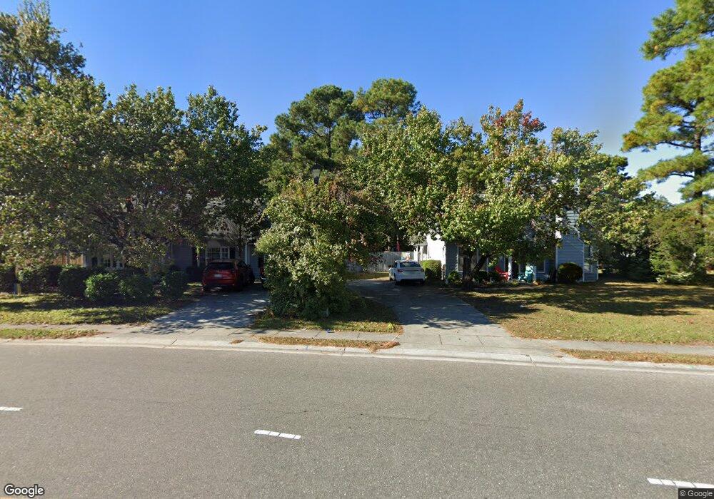
2009 White Rd Wilmington, NC 28411
Estimated Value: $335,876 - $362,000
3
Beds
2
Baths
1,326
Sq Ft
$262/Sq Ft
Est. Value
About This Home
This home is located at 2009 White Rd, Wilmington, NC 28411 and is currently estimated at $347,469, approximately $262 per square foot. 2009 White Rd is a home located in New Hanover County with nearby schools including John J. Blair Elementary School, Emma B. Trask Middle School, and Emsley A. Laney High School.
Ownership History
Date
Name
Owned For
Owner Type
Purchase Details
Closed on
May 1, 1998
Sold by
Millinor Stephen Randolph Kim
Bought by
Little Kim
Current Estimated Value
Purchase Details
Closed on
Nov 4, 1992
Sold by
Landmark Homes Inc
Bought by
Millinor Stephen Randolph Kim
Purchase Details
Closed on
Sep 18, 1992
Sold by
Landmark Organization Inc
Bought by
Landmark Homes Inc
Purchase Details
Closed on
Jun 3, 1992
Sold by
Sledge W F
Bought by
Landmark Organization Inc
Create a Home Valuation Report for This Property
The Home Valuation Report is an in-depth analysis detailing your home's value as well as a comparison with similar homes in the area
Home Values in the Area
Average Home Value in this Area
Purchase History
| Date | Buyer | Sale Price | Title Company |
|---|---|---|---|
| Little Kim | -- | -- | |
| Millinor Stephen Randolph Kim | $77,000 | -- | |
| Landmark Homes Inc | -- | -- | |
| Landmark Organization Inc | $60,500 | -- |
Source: Public Records
Tax History Compared to Growth
Tax History
| Year | Tax Paid | Tax Assessment Tax Assessment Total Assessment is a certain percentage of the fair market value that is determined by local assessors to be the total taxable value of land and additions on the property. | Land | Improvement |
|---|---|---|---|---|
| 2025 | -- | $330,500 | $120,300 | $210,200 |
| 2023 | $1,193 | $213,400 | $67,800 | $145,600 |
| 2022 | $1,193 | $213,400 | $67,800 | $145,600 |
| 2021 | $1,180 | $213,400 | $67,800 | $145,600 |
| 2020 | $1,013 | $160,100 | $47,300 | $112,800 |
| 2019 | $1,013 | $160,100 | $47,300 | $112,800 |
| 2018 | $1,013 | $160,100 | $47,300 | $112,800 |
| 2017 | $1,037 | $160,100 | $47,300 | $112,800 |
| 2016 | $951 | $137,200 | $45,000 | $92,200 |
| 2015 | $884 | $137,200 | $45,000 | $92,200 |
| 2014 | $868 | $137,200 | $45,000 | $92,200 |
Source: Public Records
Map
Nearby Homes
- 814 Bay Blossom Dr
- 6329 Gordon Rd
- 1911 Daniel Boone Trail
- 6331 Gordon Rd
- 1915 Daniel Boone Trail
- 2201 Ovalberry Ct
- 402 Governors Rd
- 4826 Castleboro Ct
- 2401 Sapling Cir
- 4829 Gordon Rd
- 4844 Acres Dr
- 2513 Sapling Cir
- 5332 Sun Coast Dr
- 6601 Strawfield Dr
- 4905 Tupelo Dr
- 2409 White Rd
- 1658 Killdeer Ln
- 807 Spy Glass Ct
- 5000 Sun Coast Dr
- 7300 Farrington Farms Dr
- 2005 White Rd
- 6004 Tassle Ct
- 6002 Tassle Ct
- 6006 Tassle Ct
- 604 Indian Wells Way
- 608 Indian Wells Way
- 6021 Leaf Point Ct
- 612 Indian Wells Way
- 602 Indian Wells Way
- 2001 White Rd
- 6000 Tassle Ct
- 6100 Leaf Point Ct
- 2012 White Rd
- 616 Indian Wells Way
- 600 Indian Wells Way
- 2016 White Rd
- 6102 Leaf Point Ct
- 6001 Tassle Ct
- 620 Indian Wells Way
- 6003 Tassle Ct