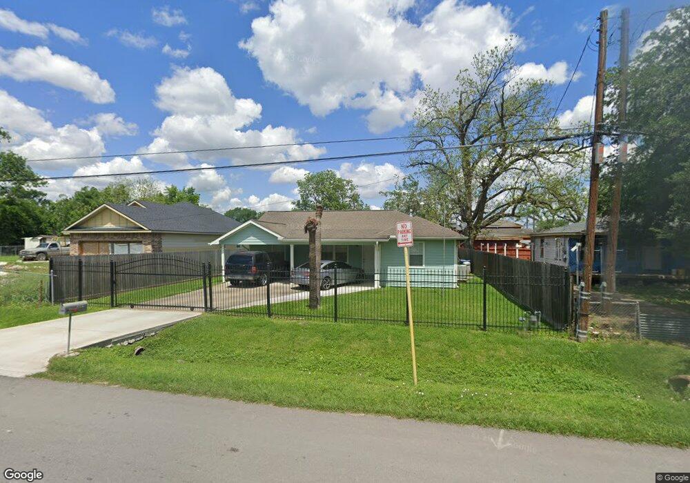
2009 William Tell St Houston, TX 77093
Aldine NeighborhoodEstimated Value: $186,559 - $278,000
2
Beds
1
Bath
1,287
Sq Ft
$175/Sq Ft
Est. Value
About This Home
This home is located at 2009 William Tell St, Houston, TX 77093 and is currently estimated at $225,140, approximately $174 per square foot. 2009 William Tell St is a home located in Harris County with nearby schools including Barrick Elementary School, Patrick Henry Middle School, and Sam Houston Math, Science & Technology Center.
Ownership History
Date
Name
Owned For
Owner Type
Purchase Details
Closed on
Oct 5, 2007
Sold by
Handley Gloria Jean and Handley Willie Eugenia
Bought by
Silva Ricardo and Silva Teresa
Current Estimated Value
Purchase Details
Closed on
Feb 24, 1995
Sold by
Reel Willa Beatrice
Bought by
Handley Willie E
Home Financials for this Owner
Home Financials are based on the most recent Mortgage that was taken out on this home.
Original Mortgage
$9,000
Interest Rate
9.13%
Mortgage Type
Seller Take Back
Create a Home Valuation Report for This Property
The Home Valuation Report is an in-depth analysis detailing your home's value as well as a comparison with similar homes in the area
Home Values in the Area
Average Home Value in this Area
Purchase History
| Date | Buyer | Sale Price | Title Company |
|---|---|---|---|
| Silva Ricardo | -- | None Available | |
| Handley Willie E | -- | Texas American Title Company |
Source: Public Records
Mortgage History
| Date | Status | Borrower | Loan Amount |
|---|---|---|---|
| Previous Owner | Handley Willie E | $9,000 |
Source: Public Records
Tax History Compared to Growth
Tax History
| Year | Tax Paid | Tax Assessment Tax Assessment Total Assessment is a certain percentage of the fair market value that is determined by local assessors to be the total taxable value of land and additions on the property. | Land | Improvement |
|---|---|---|---|---|
| 2025 | $3,821 | $212,725 | $63,252 | $149,473 |
| 2024 | $3,821 | $217,366 | $63,252 | $154,114 |
| 2023 | $3,821 | $217,366 | $63,252 | $154,114 |
| 2022 | $3,218 | $173,078 | $43,925 | $129,153 |
| 2021 | $2,913 | $147,565 | $43,925 | $103,640 |
| 2020 | $2,688 | $130,896 | $34,086 | $96,810 |
| 2019 | $3,288 | $153,480 | $34,086 | $119,394 |
| 2018 | $1,876 | $87,580 | $30,923 | $56,657 |
| 2017 | $1,473 | $68,762 | $30,923 | $37,839 |
| 2016 | $1,473 | $68,762 | $30,923 | $37,839 |
| 2015 | $1,735 | $81,071 | $19,327 | $61,744 |
| 2014 | $1,735 | $81,071 | $19,327 | $61,744 |
Source: Public Records
Map
Nearby Homes
- 2014 Kowis St
- 2122 Kowis St
- 2131 Cromwell St Unit D
- 1922 Warwick Rd
- 2131 Warwick Rd
- 2123 Warwick Rd
- 2152 William Tell St
- 1802 Kowis St
- 11216 Rusty St
- 2237 Cromwell St
- 1908 Little York Rd
- 2306 Wardmont St
- 1925 Sunny Dr
- 2311 Warwick Rd
- 2326 Sunny Dr
- 1703 & 0 Sunny Dr
- 1508 Hopper Rd Unit 1
- 11746 Somerset Ln
- 10022 E Hardy Rd
- 11110 E Hardy Rd
- 2013 William Tell St
- 1 William Tell St
- 2001 William Tell St
- 2030 Chamberlain St
- 2006 Chamberlain St
- 2002 Chamberlain St
- 2010 William Tell St
- 2002 William Tell St
- 1934 Chamberlain St
- 11031 Aldine Westfield Rd
- 2005 Kowis St
- 1934 William Tell St
- 1930 Chamberlain St
- 11041 Aldine Westfield Rd
- 2009 Kowis St
- 2007 Chamberlain St
- 2013 Kowis St
- 1930 William Tell St
- 1925 William Tell St
- 11045 Aldine Westfield Rd