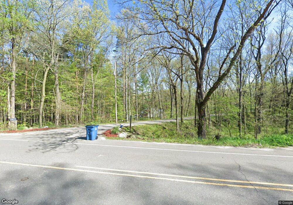
201 109th Ave Plainwell, MI 49080
Estimated Value: $365,066 - $648,000
Studio
1
Bath
2,001
Sq Ft
$230/Sq Ft
Est. Value
About This Home
This home is located at 201 109th Ave, Plainwell, MI 49080 and is currently estimated at $459,267, approximately $229 per square foot. 201 109th Ave is a home located in Allegan County with nearby schools including Plainwell High School.
Ownership History
Date
Name
Owned For
Owner Type
Purchase Details
Closed on
Jul 2, 2025
Sold by
Maguire Todd and Maguire Lori
Bought by
Maguire Todd and Maguire Lori
Current Estimated Value
Purchase Details
Closed on
Nov 30, 1998
Sold by
Adams Christopher and Adams Kathleen
Bought by
Maguire Todd and Maguire Lori
Purchase Details
Closed on
Jun 27, 1995
Sold by
Adams Chris and Adams Kathleen
Bought by
Adams Chris and Adams Kathleen
Create a Home Valuation Report for This Property
The Home Valuation Report is an in-depth analysis detailing your home's value as well as a comparison with similar homes in the area
Home Values in the Area
Average Home Value in this Area
Purchase History
| Date | Buyer | Sale Price | Title Company |
|---|---|---|---|
| Maguire Todd | -- | None Listed On Document | |
| Maguire Todd | -- | None Listed On Document | |
| Maguire Todd | $194,000 | -- | |
| Adams Chris | -- | -- |
Source: Public Records
Tax History
| Year | Tax Paid | Tax Assessment Tax Assessment Total Assessment is a certain percentage of the fair market value that is determined by local assessors to be the total taxable value of land and additions on the property. | Land | Improvement |
|---|---|---|---|---|
| 2025 | $4,649 | $186,000 | $32,200 | $153,800 |
| 2024 | $4,200 | $180,000 | $29,400 | $150,600 |
| 2023 | $4,267 | $180,800 | $25,900 | $154,900 |
| 2022 | $4,200 | $146,700 | $23,000 | $123,700 |
| 2020 | $3,933 | $139,800 | $8,500 | $131,300 |
| 2019 | $0 | $136,200 | $8,500 | $127,700 |
| 2018 | $0 | $130,700 | $8,500 | $122,200 |
| 2017 | $0 | $128,600 | $12,500 | $116,100 |
| 2016 | $0 | $113,500 | $12,500 | $101,000 |
| 2015 | -- | $113,500 | $12,500 | $101,000 |
| 2014 | -- | $119,500 | $12,500 | $107,000 |
| 2013 | -- | $112,500 | $12,500 | $100,000 |
Source: Public Records
Map
Nearby Homes
- 970 Scenic View Dr Unit 18
- 12387 Sunset Point Dr
- 12391 Sunset Dr
- 694 Pierce Rd
- VL Pierce Rd
- VL Pierce Rd Unit Parcel 5
- VL Pierce Rd Unit Parcel 3
- 12344 Warner Rd
- 0 Doster Rd Unit 22855337
- 12015 W Pine Lake Rd
- 605 Marsh Rd
- 789 7th St
- 24 Heron Ct
- 414 Midlakes Blvd
- 361 4th St
- 332 Blarney Ln
- 74 S Lake Doster Dr
- 9700 Lindsey Rd
- 250 Markus Glen Dr
- 9755 Lindsey Rd
