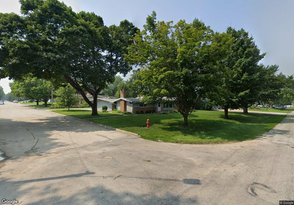
201 12th Ave W Cresco, IA 52136
Estimated Value: $167,000 - $202,000
3
Beds
2
Baths
1,404
Sq Ft
$130/Sq Ft
Est. Value
About This Home
This home is located at 201 12th Ave W, Cresco, IA 52136 and is currently estimated at $182,750, approximately $130 per square foot. 201 12th Ave W is a home located in Howard County with nearby schools including Crestwood High School and Notre Dame Catholic School.
Ownership History
Date
Name
Owned For
Owner Type
Purchase Details
Closed on
Jan 18, 2019
Sold by
Seebach Patricia A
Bought by
Seebach Ann C
Current Estimated Value
Home Financials for this Owner
Home Financials are based on the most recent Mortgage that was taken out on this home.
Original Mortgage
$75,200
Outstanding Balance
$65,984
Interest Rate
4.6%
Mortgage Type
New Conventional
Estimated Equity
$116,766
Create a Home Valuation Report for This Property
The Home Valuation Report is an in-depth analysis detailing your home's value as well as a comparison with similar homes in the area
Home Values in the Area
Average Home Value in this Area
Purchase History
| Date | Buyer | Sale Price | Title Company |
|---|---|---|---|
| Seebach Ann C | $94,000 | -- |
Source: Public Records
Mortgage History
| Date | Status | Borrower | Loan Amount |
|---|---|---|---|
| Open | Seebach Ann C | $75,200 |
Source: Public Records
Tax History
| Year | Tax Paid | Tax Assessment Tax Assessment Total Assessment is a certain percentage of the fair market value that is determined by local assessors to be the total taxable value of land and additions on the property. | Land | Improvement |
|---|---|---|---|---|
| 2025 | $2,360 | $141,810 | $20,980 | $120,830 |
| 2024 | $2,360 | $128,100 | $20,980 | $107,120 |
| 2023 | $2,338 | $128,100 | $20,980 | $107,120 |
| 2022 | $2,178 | $109,070 | $20,980 | $88,090 |
| 2021 | $2,162 | $109,070 | $20,980 | $88,090 |
| 2020 | $2,126 | $102,380 | $20,980 | $81,400 |
| 2019 | $1,820 | $96,510 | $0 | $0 |
| 2018 | $1,796 | $96,510 | $0 | $0 |
| 2017 | $1,748 | $90,920 | $0 | $0 |
| 2016 | $1,750 | $90,920 | $0 | $0 |
| 2015 | $1,750 | $90,920 | $0 | $0 |
| 2014 | $1,642 | $90,920 | $0 | $0 |
Source: Public Records
Map
Nearby Homes
- 211 12th Ave W
- 1108 Division St
- 131 12th Ave W
- 214 11th Ave W
- 219 12th Ave W
- 203 11th Ave W
- 222 11th Ave W
- 211 11th Ave W
- 225 12th Ave W
- 226 11th Ave W
- 1024 Division St
- 232 11th Ave W
- 1019 Red Maple Ave
- 225 11th Ave W
- 235 12th Ave W
- 238 11th Ave W
- 1014 Division St
- 231 11th Ave W
- 1011 Red Maple Ave
- 228 Hawkeye Ct
Your Personal Tour Guide
Ask me questions while you tour the home.