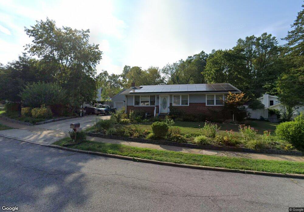
201 1st St Annapolis, MD 21401
Estimated Value: $401,000 - $570,000
5
Beds
3
Baths
1,025
Sq Ft
$490/Sq Ft
Est. Value
About This Home
This home is located at 201 1st St, Annapolis, MD 21401 and is currently estimated at $501,806, approximately $489 per square foot. 201 1st St is a home located in Anne Arundel County with nearby schools including Rolling Knolls Elementary School, Wiley H. Bates Middle School, and Annapolis High School.
Ownership History
Date
Name
Owned For
Owner Type
Purchase Details
Closed on
Mar 6, 2025
Sold by
Hanback Diana Marea and White Ray H
Bought by
Lucas Diana Marea and Lucas James B
Current Estimated Value
Purchase Details
Closed on
Aug 3, 2018
Sold by
White Ray H and White Bonnie
Bought by
White Ray H and White Bonnie
Purchase Details
Closed on
Aug 3, 2004
Sold by
White Ray H
Bought by
White Ray H and White Bonnie
Purchase Details
Closed on
May 13, 1999
Sold by
Dragoo John E
Bought by
White Ray H and White Bonnie
Purchase Details
Closed on
Jan 13, 1994
Sold by
Thompson C E
Bought by
Dragoo John E
Home Financials for this Owner
Home Financials are based on the most recent Mortgage that was taken out on this home.
Original Mortgage
$121,179
Interest Rate
7.22%
Create a Home Valuation Report for This Property
The Home Valuation Report is an in-depth analysis detailing your home's value as well as a comparison with similar homes in the area
Home Values in the Area
Average Home Value in this Area
Purchase History
| Date | Buyer | Sale Price | Title Company |
|---|---|---|---|
| Lucas Diana Marea | -- | None Listed On Document | |
| Lucas Diana Marea | -- | None Listed On Document | |
| White Ray H | -- | Charter Title Llc | |
| White Ray H | $90,000 | -- | |
| White Ray H | $150,000 | -- | |
| Dragoo John E | $122,000 | -- |
Source: Public Records
Mortgage History
| Date | Status | Borrower | Loan Amount |
|---|---|---|---|
| Previous Owner | Dragoo John E | $121,179 | |
| Closed | White Ray H | -- |
Source: Public Records
Tax History Compared to Growth
Tax History
| Year | Tax Paid | Tax Assessment Tax Assessment Total Assessment is a certain percentage of the fair market value that is determined by local assessors to be the total taxable value of land and additions on the property. | Land | Improvement |
|---|---|---|---|---|
| 2025 | $3,770 | $408,500 | -- | -- |
| 2024 | $3,770 | $377,000 | $0 | $0 |
| 2023 | $3,642 | $345,500 | $191,100 | $154,400 |
| 2022 | $3,410 | $342,267 | $0 | $0 |
| 2021 | $6,710 | $339,033 | $0 | $0 |
| 2020 | $3,261 | $335,800 | $191,100 | $144,700 |
| 2019 | $3,208 | $330,100 | $0 | $0 |
| 2018 | $677 | $324,400 | $0 | $0 |
| 2017 | $3,026 | $318,700 | $0 | $0 |
| 2016 | $677 | $314,533 | $0 | $0 |
| 2015 | $677 | $310,367 | $0 | $0 |
| 2014 | -- | $306,200 | $0 | $0 |
Source: Public Records
Map
Nearby Homes
- 1807 Green Top Ct
- 1809 Labrott Ln
- 905 Beacon Way
- 551 Defense Hwy
- 1909 Eleanor Ct
- 1907 Mackiebeth Ct
- 1945 Marconi Cir
- 2507 Tudo Ct
- 2664 Compass Dr
- 901 Sextant Way
- 825 Coxswain Way
- 1007 Boom Ct
- 2601 Compass Dr
- 2600 Compass Dr
- 1012 Mastline Dr
- 803 Coxswain Way Unit 103
- 803 Coxswain Way Unit 203
- 2737 Yeomans Lantern Ct
- 2671 Cunningham Hole Rd
- 802 Bridgeport Way