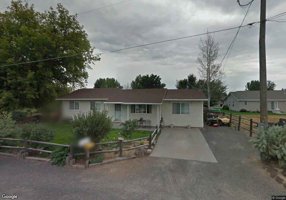
201 21st Ave W Gooding, ID 83330
Estimated Value: $242,000 - $275,000
3
Beds
1
Bath
1,376
Sq Ft
$192/Sq Ft
Est. Value
About This Home
This home is located at 201 21st Ave W, Gooding, ID 83330 and is currently estimated at $263,935, approximately $191 per square foot. 201 21st Ave W is a home located in Gooding County with nearby schools including Gooding Elementary School, Gooding Middle School, and Gooding High School.
Ownership History
Date
Name
Owned For
Owner Type
Purchase Details
Closed on
Feb 8, 2018
Sold by
Demaray Dowell D and Demaray Judith L
Bought by
Demaray Dwain and Demaray Ana
Current Estimated Value
Home Financials for this Owner
Home Financials are based on the most recent Mortgage that was taken out on this home.
Original Mortgage
$617,500
Interest Rate
3.95%
Mortgage Type
Seller Take Back
Create a Home Valuation Report for This Property
The Home Valuation Report is an in-depth analysis detailing your home's value as well as a comparison with similar homes in the area
Home Values in the Area
Average Home Value in this Area
Purchase History
| Date | Buyer | Sale Price | Title Company |
|---|---|---|---|
| Demaray Dwain | -- | Titleone Twin Falls |
Source: Public Records
Mortgage History
| Date | Status | Borrower | Loan Amount |
|---|---|---|---|
| Closed | Demaray Dwain | $617,500 |
Source: Public Records
Tax History Compared to Growth
Tax History
| Year | Tax Paid | Tax Assessment Tax Assessment Total Assessment is a certain percentage of the fair market value that is determined by local assessors to be the total taxable value of land and additions on the property. | Land | Improvement |
|---|---|---|---|---|
| 2025 | $1,198 | $233,344 | $83,782 | $149,562 |
| 2024 | $1,198 | $233,344 | $83,782 | $149,562 |
| 2023 | $1,065 | $222,232 | $79,792 | $142,440 |
| 2022 | $1,339 | $208,116 | $79,792 | $128,324 |
| 2021 | $1,317 | $175,945 | $53,732 | $122,213 |
| 2020 | $1,029 | $113,174 | $22,740 | $90,434 |
| 2019 | $937 | $93,585 | $22,740 | $70,845 |
| 2018 | $880 | $90,211 | $22,740 | $67,471 |
| 2017 | $842 | $0 | $0 | $0 |
| 2016 | $802 | $0 | $0 | $0 |
| 2015 | $814 | $0 | $0 | $0 |
| 2014 | -- | $0 | $0 | $0 |
| 2011 | -- | $0 | $0 | $0 |
Source: Public Records
Map
Nearby Homes
- 2039 Main St
- 238 Dorothy Ave
- 1711 California St
- TBD U S Highway 26
- 380 Orchard Dr E
- 428 Orchard Dr
- 1410 California St
- 1203 Idaho St
- 1224 Colorado St
- 636 Spruce Cir
- 1018 Main St
- 1045 Utah St
- 551 10th Ave W
- 1525 Mountain View Dr
- 905 Main St
- 846 Wyoming St
- 733 California St
- 1958 Idaho 46
- 833 Nebraska St
- 722 Nevada St
- 205 21st Ave W
- 146 21st Ave W
- 2126 Bitterbrush Ct
- 2122 Bitterbrush Ct
- 2111 Main St
- 2132 Bitterbrush Ct
- 2105 Main St
- 2107 Main St
- 200 21st Ave W
- 2037 Main St
- 210 21st Ave W
- 2109 Main St
- 203 21st Ave W
- 2138 Bitterbrush Ct
- 202 21st Ave W
- 2100 California St
- 2144 Bitterbrush Ct
- 206 Dorothy Ave
- 2115 Main St
- 1946 California St