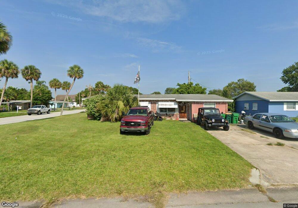
201 2nd St Merritt Island, FL 32953
Estimated Value: $265,000 - $283,000
3
Beds
2
Baths
1,200
Sq Ft
$229/Sq Ft
Est. Value
About This Home
This home is located at 201 2nd St, Merritt Island, FL 32953 and is currently estimated at $274,330, approximately $228 per square foot. 201 2nd St is a home located in Brevard County with nearby schools including Mila Elementary School, Thomas Jefferson Middle School, and Merritt Island High School.
Ownership History
Date
Name
Owned For
Owner Type
Purchase Details
Closed on
Jan 29, 2023
Sold by
Keiser Family Trust
Bought by
Keiser Roger
Current Estimated Value
Purchase Details
Closed on
Aug 3, 2009
Sold by
Chadd Cristy M
Bought by
Keiser Living Trust
Purchase Details
Closed on
Jan 31, 2007
Sold by
Holloway Ruth Kramer
Bought by
Chadd Cristy M
Home Financials for this Owner
Home Financials are based on the most recent Mortgage that was taken out on this home.
Original Mortgage
$150,000
Interest Rate
7%
Mortgage Type
Balloon
Create a Home Valuation Report for This Property
The Home Valuation Report is an in-depth analysis detailing your home's value as well as a comparison with similar homes in the area
Home Values in the Area
Average Home Value in this Area
Purchase History
| Date | Buyer | Sale Price | Title Company |
|---|---|---|---|
| Keiser Roger | -- | -- | |
| Keiser Living Trust | -- | None Available | |
| Chadd Cristy M | $142,300 | Fidelity Natl Title Ins Co |
Source: Public Records
Mortgage History
| Date | Status | Borrower | Loan Amount |
|---|---|---|---|
| Previous Owner | Chadd Cristy M | $150,000 |
Source: Public Records
Tax History Compared to Growth
Tax History
| Year | Tax Paid | Tax Assessment Tax Assessment Total Assessment is a certain percentage of the fair market value that is determined by local assessors to be the total taxable value of land and additions on the property. | Land | Improvement |
|---|---|---|---|---|
| 2025 | $3,133 | $213,180 | -- | -- |
| 2024 | $2,851 | $221,260 | -- | -- |
| 2023 | $2,851 | $232,800 | $0 | $0 |
| 2022 | $2,422 | $198,100 | $0 | $0 |
| 2021 | $2,158 | $138,710 | $75,000 | $63,710 |
| 2020 | $2,050 | $133,320 | $67,000 | $66,320 |
| 2019 | $1,996 | $138,090 | $67,000 | $71,090 |
| 2018 | $1,847 | $119,120 | $48,000 | $71,120 |
| 2017 | $1,809 | $115,220 | $44,000 | $71,220 |
| 2016 | $1,667 | $94,800 | $34,000 | $60,800 |
| 2015 | $1,538 | $69,650 | $28,000 | $41,650 |
| 2014 | $1,459 | $63,320 | $23,000 | $40,320 |
Source: Public Records
Map
Nearby Homes
- 145 Needle Blvd
- 240 Belair Ave
- 421 4th St
- 324 3rd St
- 240 Riverside Ave
- 135 Richland Ave
- 225 Richland Ave
- 320 Alabama Ave
- 755 Larkview St
- 410 4th St
- 180 Minna Ln Unit 417
- 180 Minna Ln Unit 404
- 140 Minna Ln Unit 214
- 140 Minna Ln Unit 118
- 140 Minna Ln
- 380 Sabal Ave
- 300 Richland Ave
- 718 6th St
- 245 Le Jeune Dr
- 450 Patrick Ave