201 Aaron Smith Dr Bridgeport, WV 26330
Estimated Value: $487,737 - $588,000
3
Beds
4
Baths
2,622
Sq Ft
$208/Sq Ft
Est. Value
About This Home
This home is located at 201 Aaron Smith Dr, Bridgeport, WV 26330 and is currently estimated at $544,434, approximately $207 per square foot. 201 Aaron Smith Dr is a home with nearby schools including Heritage Christian School and Dollie Hilll Christian Academy.
Ownership History
Date
Name
Owned For
Owner Type
Purchase Details
Closed on
Jan 6, 2023
Sold by
Midtown Realty Development Llc
Bought by
200 Buckhannon Pike Llc
Current Estimated Value
Purchase Details
Closed on
May 29, 2020
Sold by
Minsker Jason W
Bought by
Spring Hill Llc
Purchase Details
Closed on
Dec 12, 2006
Sold by
Mace Charles Thomas and Mace Mary Ann
Bought by
Remy Danniel and Remy Tanya
Create a Home Valuation Report for This Property
The Home Valuation Report is an in-depth analysis detailing your home's value as well as a comparison with similar homes in the area
Home Values in the Area
Average Home Value in this Area
Purchase History
| Date | Buyer | Sale Price | Title Company |
|---|---|---|---|
| 200 Buckhannon Pike Llc | $600,000 | -- | |
| Spring Hill Llc | $340,000 | None Available | |
| Remy Danniel | $225,000 | None Available |
Source: Public Records
Tax History Compared to Growth
Tax History
| Year | Tax Paid | Tax Assessment Tax Assessment Total Assessment is a certain percentage of the fair market value that is determined by local assessors to be the total taxable value of land and additions on the property. | Land | Improvement |
|---|---|---|---|---|
| 2025 | $4,760 | $204,300 | $33,120 | $171,180 |
| 2024 | $4,760 | $194,580 | $33,120 | $161,460 |
| 2023 | $4,464 | $181,320 | $33,120 | $148,200 |
| 2022 | $4,234 | $179,640 | $32,820 | $146,820 |
| 2021 | $4,172 | $179,160 | $32,820 | $146,340 |
| 2020 | $3,482 | $150,960 | $32,820 | $118,140 |
| 2019 | $3,501 | $151,740 | $32,820 | $118,920 |
| 2018 | $3,478 | $151,440 | $32,820 | $118,620 |
| 2017 | $3,441 | $150,480 | $32,820 | $117,660 |
| 2016 | $3,346 | $148,200 | $32,820 | $115,380 |
| 2015 | $3,331 | $146,640 | $32,820 | $113,820 |
| 2014 | $3,316 | $146,160 | $32,820 | $113,340 |
Source: Public Records
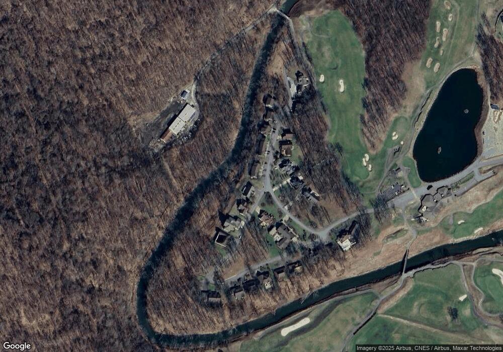
Map
Nearby Homes
- TBD Chapel Brook Dr
- 234 N Mimosa Ln
- 204 N Mimosa Ln
- 1520 Johnson Ave
- 13 Arrowood Dr
- Lot 26 Lindale St
- 9 Arrowood Dr
- 61 Leo Menendez Dr
- 3093 River Rd
- 454 Farnum Rd
- 94 Caldwell Rd
- 0 Jack Run Rd
- 3930 Shinnston Pike
- 125 Carriage Ln
- TBD Jack Run Rd
- TBD Jewel City Blvd
- Tract D Jewel City Blvd
- 107 Valley Dr
- 636 Easy St
- 112 Village Dr
- 218 Aaron Smith Dr
- 124 Aaron Smith Dr
- 3453 Meadowbrook Rd
- 342 Custer Hollow Rd
- 2010 Meadowbrook Rd
- 130 Glenhaven Dr
- 76 Glenhaven Dr
- 2043 Meadowbrook Rd
- 83 Glenhaven Dr
- 2044 Meadowbrook Rd
- 156 Glenhaven Dr
- 304 Chapel Brook Dr
- 1279-3 Aaron Smith Dr
- 15 Chapel Brook Dr
- 1332 Aaron Smith Dr
- 722 Aaron Smith Dr
- 203 Chapel Brook Dr
- 203 Aaron Smith Dr
- 626 Dawson Dr
- 72B Simpson Creek