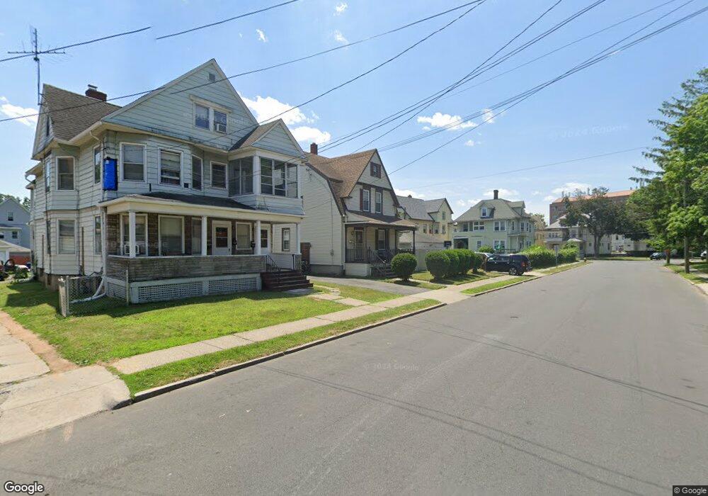
201 Adelaide St Unit 203 Hartford, CT 06114
South End NeighborhoodEstimated Value: $255,000 - $291,000
4
Beds
2
Baths
1,626
Sq Ft
$165/Sq Ft
Est. Value
About This Home
This home is located at 201 Adelaide St Unit 203, Hartford, CT 06114 and is currently estimated at $268,744, approximately $165 per square foot. 201 Adelaide St Unit 203 is a home located in Hartford County with nearby schools including M. D. Fox School, Asian Studies School At Dwight/Belizzi School, and Dr. James H Naylor/Ccsu Leadership Academy.
Ownership History
Date
Name
Owned For
Owner Type
Purchase Details
Closed on
Apr 30, 1993
Sold by
Gormley Joyce and Pellerin Arthur
Bought by
Diaz Norka and Moralez Miguel
Current Estimated Value
Home Financials for this Owner
Home Financials are based on the most recent Mortgage that was taken out on this home.
Original Mortgage
$76,000
Interest Rate
7.51%
Mortgage Type
Unknown
Create a Home Valuation Report for This Property
The Home Valuation Report is an in-depth analysis detailing your home's value as well as a comparison with similar homes in the area
Home Values in the Area
Average Home Value in this Area
Purchase History
| Date | Buyer | Sale Price | Title Company |
|---|---|---|---|
| Diaz Norka | $80,000 | -- |
Source: Public Records
Mortgage History
| Date | Status | Borrower | Loan Amount |
|---|---|---|---|
| Open | Diaz Norka | $116,758 | |
| Closed | Diaz Norka | $76,000 |
Source: Public Records
Tax History Compared to Growth
Tax History
| Year | Tax Paid | Tax Assessment Tax Assessment Total Assessment is a certain percentage of the fair market value that is determined by local assessors to be the total taxable value of land and additions on the property. | Land | Improvement |
|---|---|---|---|---|
| 2025 | $4,609 | $66,848 | $9,408 | $57,440 |
| 2024 | $4,609 | $66,848 | $9,408 | $57,440 |
| 2023 | $4,609 | $66,848 | $9,408 | $57,440 |
| 2022 | $4,609 | $66,848 | $9,408 | $57,440 |
| 2021 | $3,549 | $47,775 | $12,495 | $35,280 |
| 2020 | $3,549 | $47,775 | $12,495 | $35,280 |
| 2019 | $3,549 | $47,775 | $12,495 | $35,280 |
| 2018 | $3,430 | $46,164 | $12,073 | $34,091 |
| 2016 | $3,281 | $44,160 | $11,499 | $32,661 |
| 2015 | $3,125 | $42,062 | $10,952 | $31,110 |
| 2014 | $3,048 | $41,034 | $10,685 | $30,349 |
Source: Public Records
Map
Nearby Homes
- 152 Otis St
- 183 Preston St Unit 185
- 147 Preston St Unit 1
- 35 Clifford St
- 69 Mountford St Unit 3A
- 73 Mountford St Unit 3B
- 213 Franklin Ave Unit 405
- 61 Preston St Unit 63
- 159 Gilman St
- 46 Harwich St
- 90 Harwich St Unit 92
- 10 Warner St
- 26 Barker St Unit 28
- 308 Brown St
- 17 Bond St
- 497 Wethersfield Ave
- 49 Newbury St Unit 51
- 15 Bond St
- 405 W Preston St Unit 407
- 147 Newbury St Unit 149
- 197 Adelaide St Unit 199
- 193 Adelaide St Unit 195
- 70 Campfield Ave Unit 72
- 196 Adelaide St Unit 198
- 189 Adelaide St Unit 191
- 74 Campfield Ave Unit 76
- 56 Campfield Ave Unit 58
- 80 Campfield Ave Unit 82
- 192 Adelaide St
- 187 Adelaide St
- 202 Adelaide St
- 120 Bushnell St
- 86 Campfield Ave
- 60 Campfield Ave Unit 62
- 56 & 58 Campfield Ave
- 116 Bushnell St
- 188 Adelaide St
- 181 Adelaide St
- 46 Campfield Ave Unit 48
- 46 Campfield Ave Unit 1 st FL