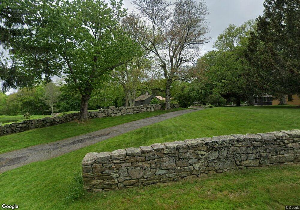
201 Al Harvey Rd Stonington, CT 06378
Estimated Value: $1,867,636 - $1,892,000
3
Beds
2
Baths
1,344
Sq Ft
$1,399/Sq Ft
Est. Value
About This Home
This home is located at 201 Al Harvey Rd, Stonington, CT 06378 and is currently estimated at $1,879,818, approximately $1,398 per square foot. 201 Al Harvey Rd is a home located in New London County with nearby schools including Stonington Middle School, Stonington High School, and Pine Point School.
Ownership History
Date
Name
Owned For
Owner Type
Purchase Details
Closed on
Jun 7, 2022
Sold by
Avalonia Land Conservancy
Bought by
Merrill Eliot P and Andrews Elizabeth M
Current Estimated Value
Purchase Details
Closed on
May 7, 2022
Sold by
Merrill Eliot P and Andrews Elizabeth M
Bought by
Merrill Eliot P and Andrews Elizabeth M
Create a Home Valuation Report for This Property
The Home Valuation Report is an in-depth analysis detailing your home's value as well as a comparison with similar homes in the area
Home Values in the Area
Average Home Value in this Area
Purchase History
| Date | Buyer | Sale Price | Title Company |
|---|---|---|---|
| Merrill Eliot P | $128,897 | None Available | |
| Merrill Eliot P | $128,897 | None Available | |
| Merrill Eliot P | -- | None Available | |
| Merrill Eliot P | -- | None Available |
Source: Public Records
Tax History Compared to Growth
Tax History
| Year | Tax Paid | Tax Assessment Tax Assessment Total Assessment is a certain percentage of the fair market value that is determined by local assessors to be the total taxable value of land and additions on the property. | Land | Improvement |
|---|---|---|---|---|
| 2025 | $23,978 | $1,159,480 | $247,680 | $911,800 |
| 2024 | $23,132 | $1,159,480 | $247,680 | $911,800 |
| 2023 | $24,122 | $1,215,200 | $303,400 | $911,800 |
| 2022 | $22,469 | $852,400 | $195,400 | $657,000 |
| 2021 | $22,802 | $852,400 | $195,400 | $657,000 |
| 2020 | $22,384 | $852,400 | $195,400 | $657,000 |
| 2019 | $22,384 | $852,400 | $195,400 | $657,000 |
| 2018 | $21,804 | $852,400 | $195,400 | $657,000 |
| 2017 | $20,715 | $798,900 | $204,300 | $594,600 |
| 2016 | $20,157 | $798,000 | $204,300 | $593,700 |
| 2015 | $19,328 | $798,000 | $204,300 | $593,700 |
| 2014 | $18,538 | $798,000 | $204,300 | $593,700 |
Source: Public Records
Map
Nearby Homes
- 46 Dawley Dr
- 508 Al Harvey Rd
- 1189 Pequot Trail
- 770 Pequot Trail
- 1346 Pequot Trail
- 244 New London Turnpike
- 550 Al Harvey Rd
- 50 Benjamin Stanton Pentway
- 368 N Stonington Rd
- 3 Whitehall Pond Unit 3
- 28 Golden Spur
- 106 Stephen Dr
- 130 Stephen Dr
- 35 Shawondassee Dr
- 40 Riverbend Dr
- 1 Circle Dr
- 69 Wolf Neck Rd
- 86 Fair Acres Cir
- 579 Taugwonk Rd
- 16 Juniper Ln
- 202 Al Harvey Rd
- 232 Al Harvey Rd
- 2 Bay St
- 220 Al Harvey Rd
- 162 Al Harvey Rd
- 168 Al Harvey Rd
- 246 Al Harvey Rd
- 160 Al Harvey Rd
- 38 Rowley Dr
- 104 Rowley Dr
- 96 Rowley Dr
- 83 Rowley Dr
- 93 Rowley Dr
- 110 Rowley Dr
- 291 Al Harvey Rd
- 279 Al Harvey Rd
- 199 Dawley Dr
- 294 Al Harvey Rd
- 296 Al Harvey Rd
- 216 Dawley Dr