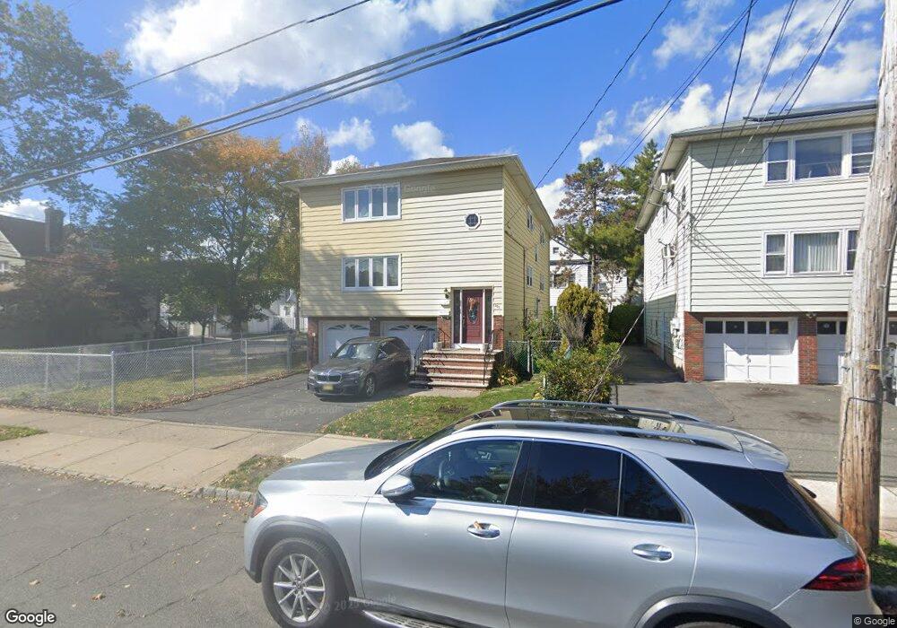
201 Ampere Pkwy Bloomfield, NJ 07003
Estimated Value: $639,300 - $1,070,000
--
Bed
--
Bath
4,516
Sq Ft
$193/Sq Ft
Est. Value
About This Home
This home is located at 201 Ampere Pkwy, Bloomfield, NJ 07003 and is currently estimated at $871,325, approximately $192 per square foot. 201 Ampere Pkwy is a home located in Essex County with nearby schools including Carteret School, Bloomfield Middle School, and Bloomfield High School.
Ownership History
Date
Name
Owned For
Owner Type
Purchase Details
Closed on
Feb 8, 2001
Sold by
Cenci Umberto
Bought by
Chavez Wilder and Chavez Lourdes
Current Estimated Value
Home Financials for this Owner
Home Financials are based on the most recent Mortgage that was taken out on this home.
Original Mortgage
$216,000
Outstanding Balance
$76,913
Interest Rate
6.89%
Estimated Equity
$794,412
Create a Home Valuation Report for This Property
The Home Valuation Report is an in-depth analysis detailing your home's value as well as a comparison with similar homes in the area
Home Values in the Area
Average Home Value in this Area
Purchase History
| Date | Buyer | Sale Price | Title Company |
|---|---|---|---|
| Chavez Wilder | $270,000 | -- |
Source: Public Records
Mortgage History
| Date | Status | Borrower | Loan Amount |
|---|---|---|---|
| Open | Chavez Wilder | $216,000 |
Source: Public Records
Tax History Compared to Growth
Tax History
| Year | Tax Paid | Tax Assessment Tax Assessment Total Assessment is a certain percentage of the fair market value that is determined by local assessors to be the total taxable value of land and additions on the property. | Land | Improvement |
|---|---|---|---|---|
| 2025 | $13,258 | $405,700 | $102,700 | $303,000 |
| 2024 | $13,258 | $405,700 | $102,700 | $303,000 |
| 2022 | $12,991 | $405,700 | $102,700 | $303,000 |
| 2021 | $14,958 | $475,900 | $102,700 | $373,200 |
| 2020 | $14,729 | $475,900 | $102,700 | $373,200 |
| 2019 | $13,277 | $333,500 | $101,000 | $232,500 |
| 2018 | $13,220 | $333,500 | $101,000 | $232,500 |
| 2017 | $13,020 | $333,500 | $101,000 | $232,500 |
| 2016 | $12,873 | $333,500 | $101,000 | $232,500 |
| 2015 | $12,756 | $333,500 | $101,000 | $232,500 |
| 2014 | $12,523 | $333,500 | $101,000 | $232,500 |
Source: Public Records
Map
Nearby Homes
- 141 N 16th St
- 149 Leslie St
- 159 N 15th St
- 220 N 17th St
- 228 N 17th St
- 413 Beardsley Ave Unit 3
- 413 Beardsley Ave
- 205 N 15th St
- 110 N 17th St
- 200 N 15th St
- 18 Whitman Ave
- 7 Whitman Ave
- 105 N 15th St
- 65 Leslie St
- 101 Ellington St
- 265 N 17th St
- 267 N 17th St
- 62 Ampere Pkwy
- 489 N 11th St Unit 491
- 38 Hoffman Blvd
- 205 Ampere Pkwy
- 401 Abington Ave
- 0 Ampere Pkwy Unit 2nd floor
- 209 Ampere Pkwy
- 191 Ampere Pkwy
- 403 Abington Ave Unit 1
- 403 Abington Ave Unit 2
- 403 Abington Ave
- 403 Abington Ave Unit 3
- 404 Abington Ave
- 211 Ampere Pkwy Unit 3
- 211 Ampere Pkwy Unit 2
- 211 Ampere Pkwy Unit 1
- 211 Ampere Pkwy
- 407 Abington Ave
- 407 Abington Ave Unit 2
- 10 Waldo Ave
- 172 Leslie St
- 187 Ampere Pkwy
- 14 Waldo Ave