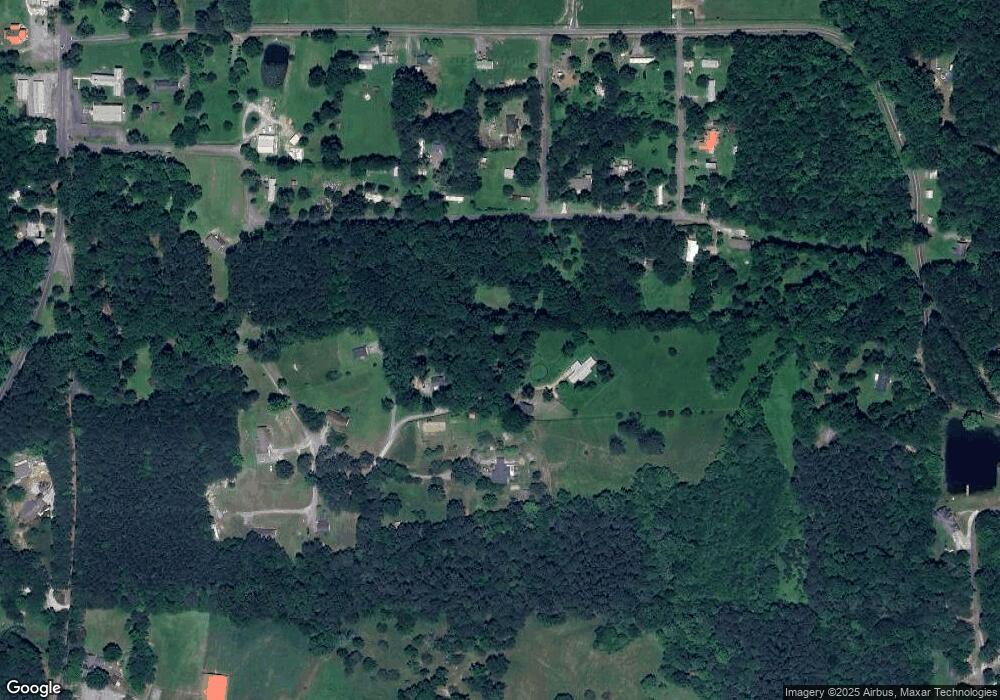
201 Apex Way Rocky Face, GA 30740
Estimated Value: $111,000 - $161,000
1
Bed
1
Bath
640
Sq Ft
$208/Sq Ft
Est. Value
About This Home
This home is located at 201 Apex Way, Rocky Face, GA 30740 and is currently estimated at $133,408, approximately $208 per square foot. 201 Apex Way is a home located in Whitfield County with nearby schools including Westside Elementary School, Westside Middle School, and Northwest Whitfield County High School.
Ownership History
Date
Name
Owned For
Owner Type
Purchase Details
Closed on
Feb 4, 2020
Sold by
Smith Sonia D
Bought by
Gibson Mark Andrew and Morrison Melisa
Current Estimated Value
Home Financials for this Owner
Home Financials are based on the most recent Mortgage that was taken out on this home.
Original Mortgage
$59,582
Interest Rate
3.6%
Mortgage Type
Commercial
Purchase Details
Closed on
May 23, 2003
Sold by
Trimble William and Trimble Barbara P
Bought by
Smith Sonia D
Purchase Details
Closed on
Jan 13, 2002
Sold by
Blount Pam Phillips
Bought by
Trimble William and Trimble Barbara P
Purchase Details
Closed on
Jul 1, 1996
Bought by
Blount Pam Phillips
Create a Home Valuation Report for This Property
The Home Valuation Report is an in-depth analysis detailing your home's value as well as a comparison with similar homes in the area
Home Values in the Area
Average Home Value in this Area
Purchase History
| Date | Buyer | Sale Price | Title Company |
|---|---|---|---|
| Gibson Mark Andrew | $57,000 | -- | |
| Smith Sonia D | $57,000 | -- | |
| Trimble William | $45,000 | -- | |
| Blount Pam Phillips | $40,000 | -- |
Source: Public Records
Mortgage History
| Date | Status | Borrower | Loan Amount |
|---|---|---|---|
| Closed | Gibson Mark Andrew | $59,582 |
Source: Public Records
Tax History Compared to Growth
Tax History
| Year | Tax Paid | Tax Assessment Tax Assessment Total Assessment is a certain percentage of the fair market value that is determined by local assessors to be the total taxable value of land and additions on the property. | Land | Improvement |
|---|---|---|---|---|
| 2024 | $714 | $40,763 | $4,999 | $35,764 |
| 2023 | $714 | $23,133 | $3,789 | $19,344 |
| 2022 | $512 | $17,369 | $3,327 | $14,042 |
| 2021 | $512 | $17,369 | $3,327 | $14,042 |
| 2020 | $530 | $17,369 | $3,327 | $14,042 |
| 2019 | $539 | $17,369 | $3,327 | $14,042 |
| 2018 | $529 | $16,797 | $2,755 | $14,042 |
| 2017 | $529 | $16,797 | $2,755 | $14,042 |
| 2016 | $471 | $15,526 | $2,755 | $12,771 |
| 2014 | $478 | $17,775 | $5,004 | $12,771 |
| 2013 | -- | $17,775 | $5,004 | $12,771 |
Source: Public Records
Map
Nearby Homes
- 3023 Highland Cir
- 4 Lots Highland Cir
- Lot 28 Highland Cir
- Lot 21 Highland Cir
- Lot 20 Highland Cir
- Lot 29 Highland Cir
- 0 Hurricane Rd S Unit 129270
- 0 Hurricane Rd S Unit 129269
- 0 Hurricane Rd S Unit 129268
- 2001 Eagle Point Dr
- 257 Old Babb Rd
- 124 Jonathan Way
- 1909 Sourwood Dr
- 0 Plum St Unit 10493446
- 0 Plum St Unit 7553901
- Lot 20 Plum St
- 2512 Dug Gap Rd
- 0 Bluff View Trace
- 1060 Pear St
- 1908 Valley Brook Dr
- 201 Apex Way
- 157 Apex Way
- 200 Apex Way
- 184 Hoyt Dr
- 2086 Millcreek Church St
- 1787 Martha Dr
- LOT 48 Mill Creek Church St
- 0 Mill Creek Church St
- 2085 Millcreek Church St
- 163 Hoyt Dr
- 1777 Martha Dr
- 166 Hoyt Dr
- 160 Hoyt Dr
- 3861 Hurricane Rd
- 2021 Millcreek Church St
- 3907 Hurricane Rd
- 23 Old Babb Rd
- 3927 Hurricane Rd
- 163 Ruth St
- 3761 Hurricane Rd
