201 Ashborough Cir Dothan, AL 36301
Estimated Value: $848,000 - $893,744
Studio
--
Bath
5,489
Sq Ft
$159/Sq Ft
Est. Value
About This Home
This home is located at 201 Ashborough Cir, Dothan, AL 36301 and is currently estimated at $870,581, approximately $158 per square foot. 201 Ashborough Cir is a home with nearby schools including Dothan City Early Education Center, Heard Elementary School, and Dothan Preparatory Academy.
Ownership History
Date
Name
Owned For
Owner Type
Purchase Details
Closed on
Dec 6, 2018
Sold by
Adams William C and Adams Carmen S
Bought by
White G Scott and White Patricia T
Current Estimated Value
Purchase Details
Closed on
Jul 16, 2013
Sold by
White Gregory Scott
Bought by
Adams William C and Adams Carmen S
Purchase Details
Closed on
Jul 25, 2011
Sold by
Miller Wade J and Miller Ruby Vann
Bought by
White Gregory Scott
Create a Home Valuation Report for This Property
The Home Valuation Report is an in-depth analysis detailing your home's value as well as a comparison with similar homes in the area
Purchase History
| Date | Buyer | Sale Price | Title Company |
|---|---|---|---|
| White G Scott | $800,000 | None Available | |
| Adams William C | $85,000 | -- | |
| White Gregory Scott | $92,500 | -- |
Source: Public Records
Tax History
| Year | Tax Paid | Tax Assessment Tax Assessment Total Assessment is a certain percentage of the fair market value that is determined by local assessors to be the total taxable value of land and additions on the property. | Land | Improvement |
|---|---|---|---|---|
| 2025 | $2,362 | $81,040 | $0 | $0 |
| 2024 | $2,362 | $75,740 | $0 | $0 |
| 2023 | $2,205 | $68,580 | $0 | $0 |
| 2022 | $2,195 | $65,120 | $0 | $0 |
| 2021 | $2,001 | $66,920 | $0 | $0 |
| 2020 | $1,999 | $59,460 | $0 | $0 |
| 2018 | $1,888 | $56,220 | $0 | $0 |
| 2017 | $1,872 | $55,780 | $0 | $0 |
| 2016 | $205 | $0 | $0 | $0 |
| 2015 | $205 | $0 | $0 | $0 |
| 2014 | $515 | $0 | $0 | $0 |
Source: Public Records
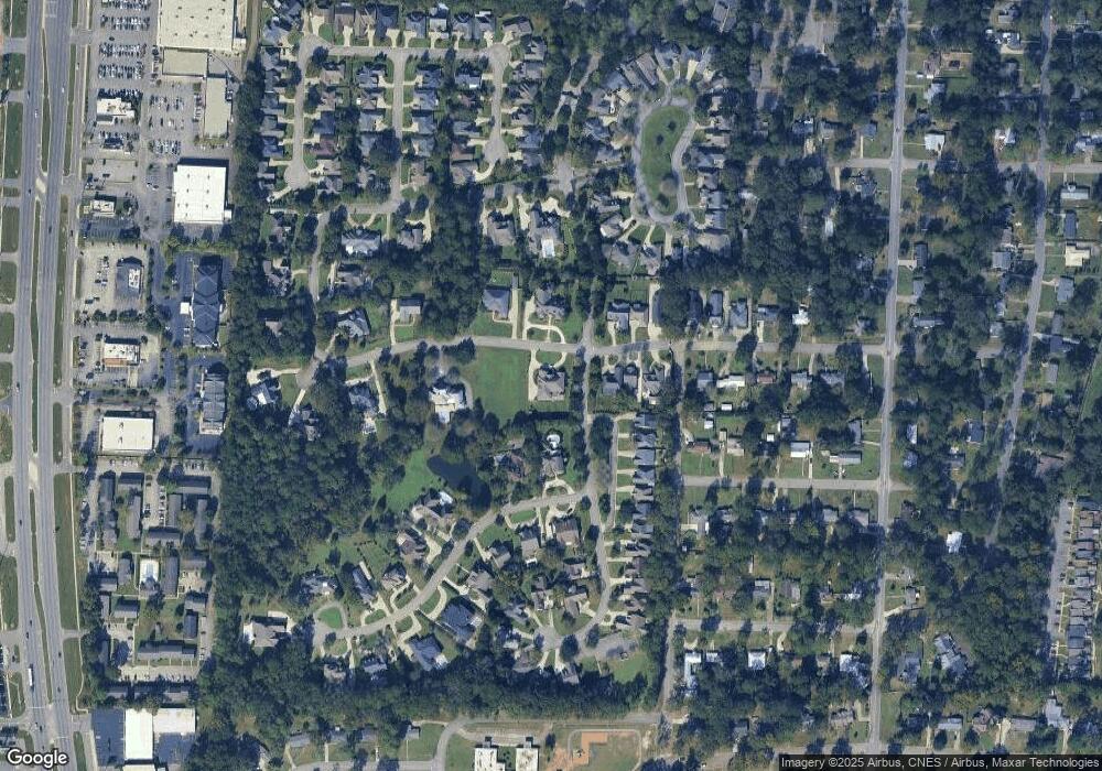
Map
Nearby Homes
- 22 Ballestone Ct
- 608 Jamestown Blvd
- 510 Roosevelt Dr
- 1905 Van Buren St
- 4 Ballestone Ct
- 120 Habersham Dr
- 125 Habersham Dr
- 113 Bracewell Ave
- 2753 Ross Clark Cir
- 2118 Stonebridge Rd
- 2203 Stonebridge Rd
- 2302 Stonebridge Rd
- 2301 Stonebridge Rd
- 114 Westmont Dr
- 313 Daniel Cir
- 2110 Stonebridge Rd
- 2105 Stonebridge Rd
- 1709 Haisten Dr
- 2052 W Main St
- 2 Parkplace Ct
- 105 Ashborough Cir
- 103 Ashborough Cir
- 202 Ashborough Cir
- 0 Ashborough Cir
- 2 Middlefield Ln
- 4 Middlefield Ln
- 104 Ashborough Cir
- 503 Jamestown Blvd
- 204 Ashborough Cir
- 101 Ashborough Cir
- 505 Jamestown Blvd
- 102 Ashborough Cir
- 507 Jamestown Blvd
- 205 Ashborough Cir
- 100 Ashborough Cir
- 509 Jamestown Blvd
- 207 Ashborough Cir
- 511 Jamestown Blvd
- 24 Ballestone Ct
- 1911 Clark St
Your Personal Tour Guide
Ask me questions while you tour the home.