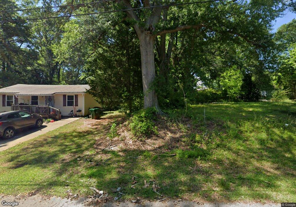
201 Avenue B Carrollton, GA 30117
Estimated Value: $16,000 - $158,000
1
Bed
1
Bath
1,192
Sq Ft
$48/Sq Ft
Est. Value
About This Home
This home is located at 201 Avenue B, Carrollton, GA 30117 and is currently estimated at $56,941, approximately $47 per square foot. 201 Avenue B is a home located in Carroll County with nearby schools including Carrollton Elementary School, Carrollton Upper Elementary School, and Carrollton Middle School.
Ownership History
Date
Name
Owned For
Owner Type
Purchase Details
Closed on
Mar 12, 2025
Sold by
Ridley Rodney
Bought by
Lopez Royvin Ivan
Current Estimated Value
Purchase Details
Closed on
Aug 29, 2014
Sold by
Wilson Theresa A
Bought by
Ridley Rodney
Purchase Details
Closed on
Mar 14, 2006
Sold by
Wilson Matthew J
Bought by
Wilson Theresa A
Purchase Details
Closed on
Apr 14, 2004
Sold by
Kmk Inc
Bought by
Wilson Matthew J and Wilson Theresa A
Purchase Details
Closed on
Sep 10, 1997
Sold by
Mcgukin Philip E
Bought by
Kmk Inc
Purchase Details
Closed on
Feb 18, 1996
Sold by
Mcgukin Ar
Bought by
Mcgukin Philip E
Purchase Details
Closed on
Apr 1, 1988
Bought by
Mcgukin
Create a Home Valuation Report for This Property
The Home Valuation Report is an in-depth analysis detailing your home's value as well as a comparison with similar homes in the area
Home Values in the Area
Average Home Value in this Area
Purchase History
| Date | Buyer | Sale Price | Title Company |
|---|---|---|---|
| Lopez Royvin Ivan | $17,000 | -- | |
| Ridley Rodney | $15,000 | -- | |
| Wilson Theresa A | -- | -- | |
| Wilson Matthew J | $121,000 | -- | |
| Kmk Inc | $74,000 | -- | |
| Mcgukin Philip E | -- | -- | |
| Mcgukin | -- | -- |
Source: Public Records
Tax History Compared to Growth
Tax History
| Year | Tax Paid | Tax Assessment Tax Assessment Total Assessment is a certain percentage of the fair market value that is determined by local assessors to be the total taxable value of land and additions on the property. | Land | Improvement |
|---|---|---|---|---|
| 2024 | $244 | $8,946 | $7,272 | $1,674 |
| 2023 | $244 | $8,946 | $7,272 | $1,674 |
| 2022 | $181 | $6,210 | $4,860 | $1,350 |
| 2021 | $145 | $4,950 | $3,600 | $1,350 |
| 2020 | $134 | $4,600 | $3,600 | $1,000 |
| 2019 | $136 | $4,600 | $3,600 | $1,000 |
| 2018 | $212 | $7,088 | $3,600 | $3,488 |
| 2017 | $213 | $7,088 | $3,600 | $3,488 |
| 2016 | $214 | $7,088 | $3,600 | $3,488 |
| 2015 | $185 | $15,044 | $4,000 | $11,044 |
| 2014 | $467 | $15,044 | $4,000 | $11,044 |
Source: Public Records
Map
Nearby Homes
- 109 7th St
- 219 Broad St
- 106 Summerfield Place Dr
- 109 Chalfont Cir
- 223 Riversong Rd Unit 55
- 223 Riversong Rd
- 149 River Dr
- 149 River Dr Unit 42
- 250 Riversong Rd
- 250 Riversong Rd Unit 55
- 160 Watson St
- 166 Maple St
- 654 King St
- 141 Bowen St
- 142 Griffin Dr
- 105 Haygood Place
- 1915 Whooping Creek Church Road - Tract #1
- 1915 Whooping Creek Church Road - Tract #2
- 330 Avalon Dr
- 203 Avenue B
- 106 Second St
- 0 Avenue B Unit 3240228
- 0 Avenue B Unit 3259623
- 0 Avenue B
- 119 Avenue B
- 114 Second St
- 120 Avenue B
- 202 Avenue B
- 210 Avenue C
- 204 Avenue B
- 110 Avenue C
- 205 Avenue B
- 106 Avenue C
- 119 Avenue C
- N Avenue A and B
- 115 Avenue B
- 0 Avenue C Unit 7543395
- 0 Avenue C Unit 7285593
- 208 Avenue B