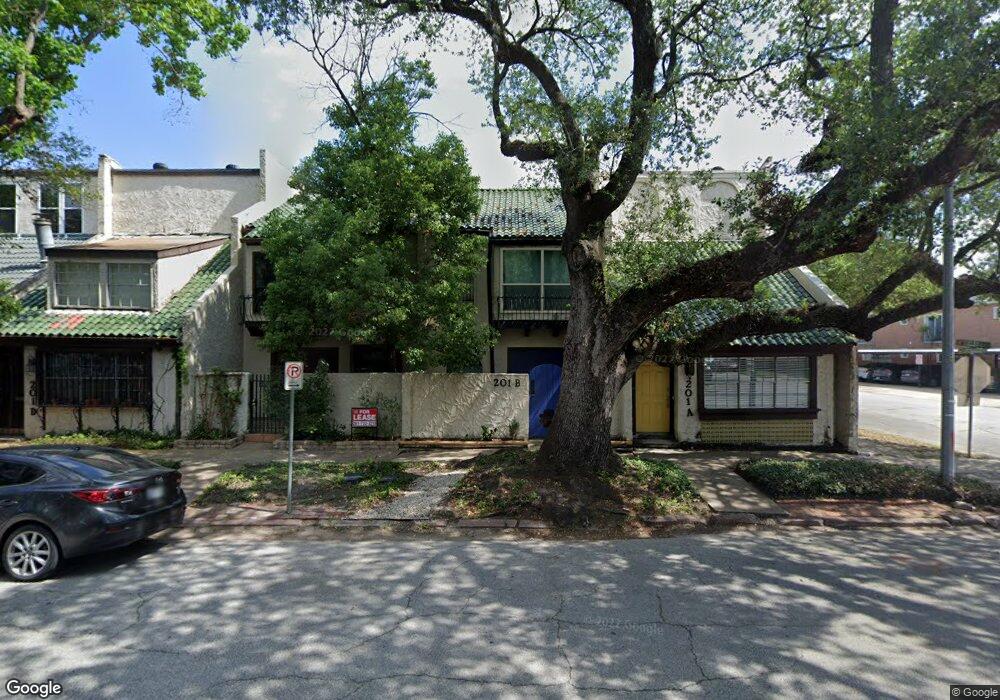
201 Avondale St Unit F Houston, TX 77006
Montrose NeighborhoodEstimated Value: $312,774 - $385,000
2
Beds
2
Baths
1,440
Sq Ft
$242/Sq Ft
Est. Value
About This Home
This home is located at 201 Avondale St Unit F, Houston, TX 77006 and is currently estimated at $348,444, approximately $241 per square foot. 201 Avondale St Unit F is a home located in Harris County with nearby schools including Gregory-Lincoln Ed Center, Wharton Dual Language Academy, and Lamar High School.
Ownership History
Date
Name
Owned For
Owner Type
Purchase Details
Closed on
Apr 29, 1997
Sold by
Calaway Calvin V
Bought by
Peeples Gerald T and Peeples Kathleen G
Current Estimated Value
Home Financials for this Owner
Home Financials are based on the most recent Mortgage that was taken out on this home.
Original Mortgage
$52,000
Interest Rate
7.92%
Mortgage Type
Purchase Money Mortgage
Create a Home Valuation Report for This Property
The Home Valuation Report is an in-depth analysis detailing your home's value as well as a comparison with similar homes in the area
Home Values in the Area
Average Home Value in this Area
Purchase History
| Date | Buyer | Sale Price | Title Company |
|---|---|---|---|
| Peeples Gerald T | -- | Stewart Title |
Source: Public Records
Mortgage History
| Date | Status | Borrower | Loan Amount |
|---|---|---|---|
| Closed | Peeples Gerald T | $52,000 |
Source: Public Records
Tax History Compared to Growth
Tax History
| Year | Tax Paid | Tax Assessment Tax Assessment Total Assessment is a certain percentage of the fair market value that is determined by local assessors to be the total taxable value of land and additions on the property. | Land | Improvement |
|---|---|---|---|---|
| 2025 | $864 | $304,092 | $125,000 | $179,092 |
| 2024 | $864 | $287,852 | $100,000 | $187,852 |
| 2023 | $864 | $287,852 | $100,000 | $187,852 |
| 2022 | $5,789 | $262,907 | $100,000 | $162,907 |
| 2021 | $5,948 | $255,227 | $100,000 | $155,227 |
| 2020 | $6,181 | $255,227 | $100,000 | $155,227 |
| 2019 | $7,502 | $296,458 | $100,000 | $196,458 |
| 2018 | $6,098 | $241,000 | $100,000 | $141,000 |
| 2017 | $6,395 | $241,000 | $100,000 | $141,000 |
| 2016 | $7,058 | $266,000 | $100,000 | $166,000 |
| 2015 | $5,432 | $267,000 | $100,000 | $167,000 |
| 2014 | $5,432 | $211,307 | $62,000 | $149,307 |
Source: Public Records
Map
Nearby Homes
- 215 Avondale St
- 2703 Mason St Unit 16
- 2703 Mason St Unit 13
- 211 Stratford St
- 234 Westheimer Rd Unit 8
- 239 Westheimer Rd Unit 1
- 201 Westheimer Rd Unit E
- 12 Hyde Park Blvd Unit 7
- 12 Hyde Park Blvd Unit 5
- 101 Stratford St Unit 103
- 101 Stratford St Unit 201
- 10 Courtlandt Place
- 309 Stratford St Unit 18
- 402 Tuam St Unit 2
- 402 Tuam St Unit 7
- 403 Anita St Unit 10
- 98 Drew St Unit B
- 2514 Morgan St
- 415 Tuam St
- 501 Avondale St
- 201C Avondale St
- 201 Avondale St
- 201 Avondale St
- 201 Avondale St
- 201 Avondale St
- 201 Avondale St
- 201 Avondale St
- 201 Avondale St
- 201 Avondale St
- 201 Avondale St Unit B
- 201 Avondale St Unit A
- 201 Avondale St Unit E
- 201 Avondale St Unit G
- 201 Avondale St Unit C
- 205 Avondale St Unit 11
- 205 Avondale St Unit 10
- 205 Avondale St Unit 9
- 205 Avondale St Unit 7
- 205 Avondale St Unit 12
- 205 Avondale St Unit 8