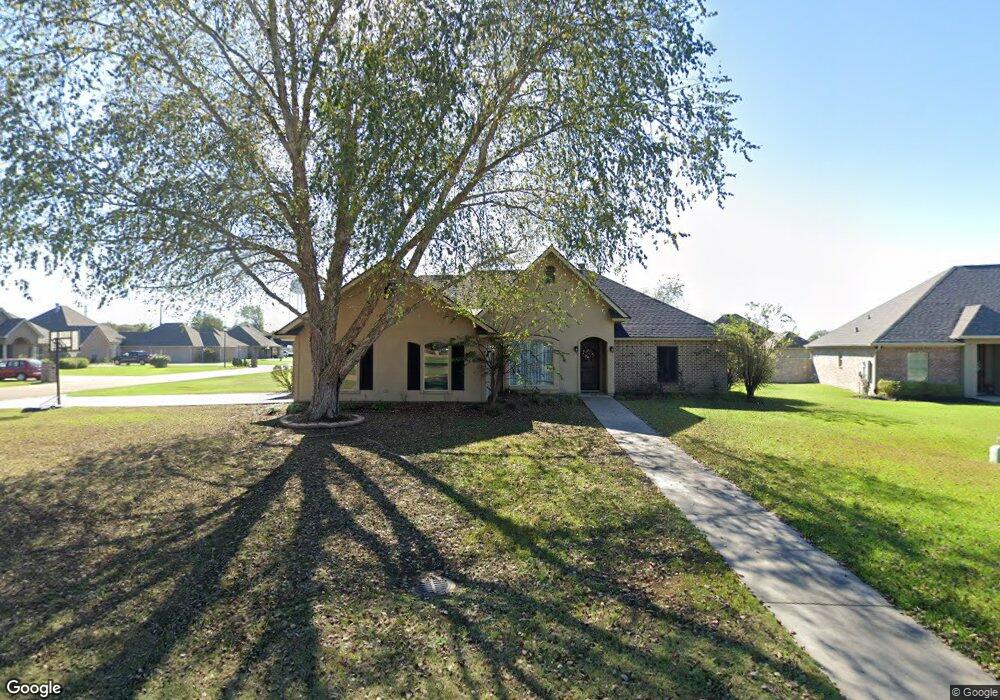
201 Barker Dr Monroe, LA 71203
Estimated Value: $327,000 - $360,000
3
Beds
3
Baths
3,003
Sq Ft
$115/Sq Ft
Est. Value
About This Home
This home is located at 201 Barker Dr, Monroe, LA 71203 and is currently estimated at $343,964, approximately $114 per square foot. 201 Barker Dr is a home located in Ouachita Parish with nearby schools including Sterlington Elementary School, Sterlington High School, and Ouachita Christian School.
Ownership History
Date
Name
Owned For
Owner Type
Purchase Details
Closed on
Aug 13, 2009
Sold by
Sheppard Phillips Clinton and Sheppard Jennifer Lea
Bought by
Powell Jason Ryan and Powell Christin Mckinnie
Current Estimated Value
Home Financials for this Owner
Home Financials are based on the most recent Mortgage that was taken out on this home.
Original Mortgage
$231,725
Outstanding Balance
$166,157
Interest Rate
5.31%
Mortgage Type
Purchase Money Mortgage
Estimated Equity
$177,807
Purchase Details
Closed on
Dec 21, 2006
Sold by
Lanatic Llc
Bought by
Sheppard Phillip Clinton and Sheppard Jennifer Lea
Home Financials for this Owner
Home Financials are based on the most recent Mortgage that was taken out on this home.
Original Mortgage
$28,515
Interest Rate
6.27%
Mortgage Type
Purchase Money Mortgage
Create a Home Valuation Report for This Property
The Home Valuation Report is an in-depth analysis detailing your home's value as well as a comparison with similar homes in the area
Purchase History
| Date | Buyer | Sale Price | Title Company |
|---|---|---|---|
| Powell Jason Ryan | $236,000 | First Security Title | |
| Sheppard Phillip Clinton | $31,500 | None Available |
Source: Public Records
Mortgage History
| Date | Status | Borrower | Loan Amount |
|---|---|---|---|
| Open | Powell Jason Ryan | $231,725 | |
| Previous Owner | Sheppard Phillip Clinton | $28,515 |
Source: Public Records
Tax History
| Year | Tax Paid | Tax Assessment Tax Assessment Total Assessment is a certain percentage of the fair market value that is determined by local assessors to be the total taxable value of land and additions on the property. | Land | Improvement |
|---|---|---|---|---|
| 2025 | $3,114 | $29,965 | $3,600 | $26,365 |
| 2024 | $3,114 | $29,965 | $3,600 | $26,365 |
| 2023 | $3,136 | $26,020 | $3,600 | $22,420 |
| 2022 | $3,561 | $26,020 | $3,600 | $22,420 |
| 2021 | $3,590 | $26,020 | $3,600 | $22,420 |
| 2020 | $3,590 | $26,020 | $3,600 | $22,420 |
| 2019 | $3,128 | $22,990 | $3,400 | $19,590 |
| 2018 | $2,014 | $22,990 | $3,400 | $19,590 |
| 2017 | $3,063 | $22,990 | $3,400 | $19,590 |
| 2016 | $2,989 | $22,990 | $3,400 | $19,590 |
| 2015 | $2,011 | $22,990 | $3,400 | $19,590 |
| 2014 | $2,011 | $22,990 | $3,400 | $19,590 |
| 2013 | $2,006 | $22,990 | $3,400 | $19,590 |
Source: Public Records
Map
Nearby Homes
- 204 Hoover Dr
- 207 Winkler Way
- 1433 Frenchmans Bend Rd
- 106 Vieux Carre Place
- 8715 Hwy 165 S
- 1396 Frenchmans Bend Rd
- 523 Bunker Ln
- 304 Southern Grove Rd
- 125 Oak Meadow Rd
- 127 Oak Meadow Rd
- 1209 E Frenchmans Bend Rd
- 1213 E Frenchmans Bend Rd
- 1211 E Frenchmans Bend Rd
- 501 Bunker Ln
- 541 Bunker Ln
- 116 Brownstone Ct
- 543 Bunker Ln
- 214 Fairhope Dr
- 208 Fairhope Dr
- Roses V A Plan at Somerset Park
- 203 Barker Dr
- 202 Hoover Dr
- 205 Barker Dr
- 104 Thatcher Ln
- 102 Thatcher Ln
- 202 Barker Dr
- 206 Hoover Dr
- 206 Hoover Dr
- 204 Barker Dr
- 100 Thatcher Ln
- 200 Thatcher Ln
- 208 Hoover Dr
- 206 Barker Dr
- 98 Thatcher Ln
- 202 Thatcher Ln
- 305 Southern Grove Rd
- 209 Barker Dr
- 201 Hoover Dr
- 201 Winkler Way
- 203 Hoover Dr
Your Personal Tour Guide
Ask me questions while you tour the home.