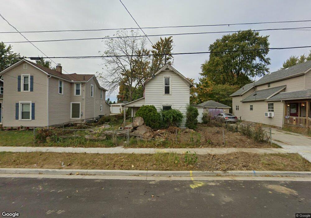
201 Barnhart St Marion, OH 43302
Estimated Value: $54,349 - $141,000
3
Beds
1
Bath
1,056
Sq Ft
$93/Sq Ft
Est. Value
About This Home
This home is located at 201 Barnhart St, Marion, OH 43302 and is currently estimated at $98,587, approximately $93 per square foot. 201 Barnhart St is a home located in Marion County with nearby schools including George Washington Elementary School, Ulysses S. Grant Middle School, and Harding High School.
Ownership History
Date
Name
Owned For
Owner Type
Purchase Details
Closed on
Apr 17, 2023
Sold by
Miller David
Bought by
Mcs Abatement Professionals Llc
Current Estimated Value
Purchase Details
Closed on
Apr 19, 2017
Sold by
Austin Richard
Bought by
Harris David
Purchase Details
Closed on
Mar 22, 2017
Sold by
Heimlich Clifford R
Bought by
Austin Richard
Purchase Details
Closed on
Feb 2, 2007
Sold by
Heimlich Clifford R
Bought by
Heimlich Clifford R
Purchase Details
Closed on
Apr 25, 1996
Bought by
Heimlich Clifford R Trustee
Create a Home Valuation Report for This Property
The Home Valuation Report is an in-depth analysis detailing your home's value as well as a comparison with similar homes in the area
Home Values in the Area
Average Home Value in this Area
Purchase History
| Date | Buyer | Sale Price | Title Company |
|---|---|---|---|
| Mcs Abatement Professionals Llc | -- | None Listed On Document | |
| Mcs Abatement Professionals Llc | -- | None Listed On Document | |
| Harris David | $1,000 | Attorney | |
| Austin Richard | $1,000 | Attorney | |
| Heimlich Clifford R | -- | None Available | |
| Heimlich Clifford R | -- | None Available | |
| Heimlich Clifford R Trustee | -- | -- |
Source: Public Records
Tax History
| Year | Tax Paid | Tax Assessment Tax Assessment Total Assessment is a certain percentage of the fair market value that is determined by local assessors to be the total taxable value of land and additions on the property. | Land | Improvement |
|---|---|---|---|---|
| 2025 | $519 | $13,990 | $3,260 | $10,730 |
| 2024 | $519 | $11,320 | $3,160 | $8,160 |
| 2023 | $519 | $19,090 | $3,160 | $15,930 |
| 2022 | $359 | $19,090 | $3,160 | $15,930 |
| 2021 | $212 | $14,230 | $1,910 | $12,320 |
| 2020 | $212 | $14,230 | $1,910 | $12,320 |
| 2019 | $212 | $14,230 | $1,910 | $12,320 |
| 2018 | $247 | $15,170 | $1,900 | $13,270 |
| 2017 | $608 | $15,170 | $1,900 | $13,270 |
| 2016 | $606 | $15,170 | $1,900 | $13,270 |
| 2015 | $617 | $15,110 | $1,810 | $13,300 |
| 2014 | $616 | $15,110 | $1,810 | $13,300 |
| 2012 | $665 | $16,170 | $1,950 | $14,220 |
Source: Public Records
Map
Nearby Homes
- 151 Barnhart St
- 194 Chicago Ave
- 125 Uhler Ave
- 250 N Grand Ave
- 223 Forest Lawn Blvd
- 222 Uhler Ave
- 714 E Church St
- 197 Franconia Ave
- 648 E George St
- 271 Uhler Ave
- 1225 Ackerman Ave
- 210 Hane Ave
- 594 E George St
- 283 Clover Ave
- 467 Jefferson St
- 645 Indiana Ave
- 569 E Church St
- 310 Hane Ave
- 400 Forest Lawn Blvd
- 278 Spencer St
- 207 Barnhart St
- 195 Barnhart St
- 215 Barnhart St
- 187 Barnhart St
- 181 Barnhart St
- 221 Barnhart St
- 202 Benton Place
- 208 Benton Place
- 194 Benton Place
- 902 Wilson Ave
- 200 Barnhart St
- 214 Benton Place
- 196 Barnhart St
- 175 Barnhart St
- 206 Barnhart St
- 188 Benton Place
- 192 Barnhart St
- 220 Benton Place
- 186 Barnhart St
- 212 Barnhart St
Your Personal Tour Guide
Ask me questions while you tour the home.