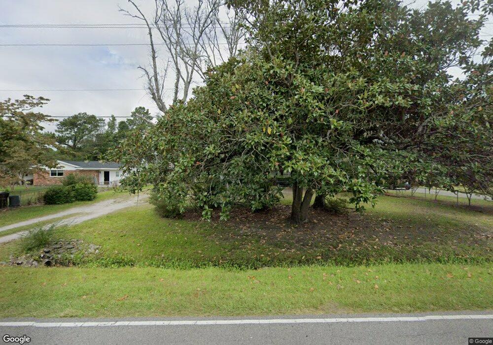
201 Bayshore Dr Wilmington, NC 28411
Estimated Value: $328,000 - $380,000
3
Beds
2
Baths
1,357
Sq Ft
$259/Sq Ft
Est. Value
About This Home
This home is located at 201 Bayshore Dr, Wilmington, NC 28411 and is currently estimated at $351,762, approximately $259 per square foot. 201 Bayshore Dr is a home located in New Hanover County with nearby schools including Ogden Elementary School, Holly Shelter Middle School, and Emsley A. Laney High School.
Ownership History
Date
Name
Owned For
Owner Type
Purchase Details
Closed on
Jan 15, 2020
Sold by
Plott Gail Corbett
Bought by
Plott Carlton Lee
Current Estimated Value
Purchase Details
Closed on
Oct 27, 1995
Sold by
Plott Carlton Lee Jr Stacey B
Bought by
Plott Gail Corbett
Purchase Details
Closed on
Oct 8, 1993
Sold by
Biggs Betty M Executrix
Bought by
Plott Carlton Lee Jr Stacey B
Purchase Details
Closed on
Jan 25, 1993
Sold by
Mallard Jr William G
Bought by
Mallard William G Jr Heirs
Purchase Details
Closed on
Dec 27, 1989
Sold by
Mallard William G Greta
Bought by
Mallard William G
Purchase Details
Closed on
Jun 1, 1973
Bought by
Mallard William G Greta
Create a Home Valuation Report for This Property
The Home Valuation Report is an in-depth analysis detailing your home's value as well as a comparison with similar homes in the area
Home Values in the Area
Average Home Value in this Area
Purchase History
| Date | Buyer | Sale Price | Title Company |
|---|---|---|---|
| Plott Carlton Lee | $500 | None Available | |
| Plott Gail Corbett | $75,000 | -- | |
| Plott Carlton Lee Jr Stacey B | $67,000 | -- | |
| Mallard William G Jr Heirs | -- | -- | |
| Mallard William G | -- | -- | |
| Mallard William G Greta | -- | -- |
Source: Public Records
Tax History Compared to Growth
Tax History
| Year | Tax Paid | Tax Assessment Tax Assessment Total Assessment is a certain percentage of the fair market value that is determined by local assessors to be the total taxable value of land and additions on the property. | Land | Improvement |
|---|---|---|---|---|
| 2025 | $1,118 | $337,100 | $133,200 | $203,900 |
| 2023 | $1,118 | $199,800 | $105,100 | $94,700 |
| 2022 | $1,122 | $199,800 | $105,100 | $94,700 |
| 2021 | $1,106 | $199,800 | $105,100 | $94,700 |
| 2020 | $1,098 | $173,600 | $78,800 | $94,800 |
| 2019 | $1,098 | $173,600 | $78,800 | $94,800 |
| 2018 | $1,098 | $173,600 | $78,800 | $94,800 |
| 2017 | $1,124 | $173,600 | $78,800 | $94,800 |
| 2016 | $1,202 | $173,500 | $78,800 | $94,700 |
| 2015 | $1,117 | $173,500 | $78,800 | $94,700 |
| 2014 | $1,098 | $173,500 | $78,800 | $94,700 |
Source: Public Records
Map
Nearby Homes
- 7625 Lost Tree Rd
- 7301 Featherstone Ct
- 229 Derry Ct
- 7417 Coker Ct
- 430 Upland Dr
- 7613 Yvonne Rd
- 512 Diane Dr
- 437 Biscayne Dr
- 133 Graystone Rd
- 7432 Ern Way
- 208 Bloomington Ln
- 232 Bloomington Ln
- 249 Palm Grove Dr
- 7843 Raintree
- 161 Graystone Rd
- 7135 Maple Leaf Dr
- 7219 Twin Ash Ct
- 546 Aquarius Dr
- 121 S Branch Rd
- 7124 Maple Leaf Dr
- 143 Bayshore Dr
- 205 Bayshore Dr
- 139 Bayshore Dr
- 209 Bayshore Dr
- 208 Windsong Rd
- 212 Windsong Rd
- 204 Windsong Rd
- 202 Bayshore Dr
- 206 Bayshore Dr
- 216 Windsong Rd
- 135 Bayshore Dr
- 213 Bayshore Dr
- 200 Windsong Rd
- 210 Bayshore Dr
- 142 Bayshore Dr
- 220 Windsong Rd
- 214 Bayshore Dr
- 138 Bayshore Dr
- 217 Bayshore Dr
- 7600 Lost Tree Rd