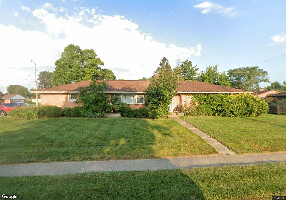
201 Beckenham Rd Englewood, OH 45322
Estimated Value: $208,000 - $249,000
3
Beds
2
Baths
1,676
Sq Ft
$137/Sq Ft
Est. Value
About This Home
This home is located at 201 Beckenham Rd, Englewood, OH 45322 and is currently estimated at $228,904, approximately $136 per square foot. 201 Beckenham Rd is a home located in Montgomery County with nearby schools including Northmont High School and Salem Christian Academy.
Ownership History
Date
Name
Owned For
Owner Type
Purchase Details
Closed on
Nov 23, 2005
Sold by
Pickens Robert
Bought by
Thornton Robert and Thornton Cynthia
Current Estimated Value
Home Financials for this Owner
Home Financials are based on the most recent Mortgage that was taken out on this home.
Original Mortgage
$30,000
Interest Rate
6.2%
Mortgage Type
Stand Alone Second
Purchase Details
Closed on
Jul 22, 2005
Sold by
Copp Dorothy P
Bought by
Pickens Robert
Purchase Details
Closed on
Jun 7, 2005
Sold by
Estate Of Byron W Copp
Bought by
Copp Dorothy P
Create a Home Valuation Report for This Property
The Home Valuation Report is an in-depth analysis detailing your home's value as well as a comparison with similar homes in the area
Home Values in the Area
Average Home Value in this Area
Purchase History
| Date | Buyer | Sale Price | Title Company |
|---|---|---|---|
| Thornton Robert | $150,000 | -- | |
| Pickens Robert | $85,000 | -- | |
| Copp Dorothy P | -- | -- |
Source: Public Records
Mortgage History
| Date | Status | Borrower | Loan Amount |
|---|---|---|---|
| Closed | Thornton Robert | $30,000 | |
| Open | Thornton Robert | $120,000 |
Source: Public Records
Tax History Compared to Growth
Tax History
| Year | Tax Paid | Tax Assessment Tax Assessment Total Assessment is a certain percentage of the fair market value that is determined by local assessors to be the total taxable value of land and additions on the property. | Land | Improvement |
|---|---|---|---|---|
| 2024 | $3,169 | $63,200 | $11,490 | $51,710 |
| 2023 | $3,169 | $63,200 | $11,490 | $51,710 |
| 2022 | $2,649 | $44,440 | $8,090 | $36,350 |
| 2021 | $2,657 | $44,440 | $8,090 | $36,350 |
| 2020 | $2,607 | $44,440 | $8,090 | $36,350 |
| 2019 | $2,356 | $37,630 | $9,300 | $28,330 |
| 2018 | $2,313 | $37,630 | $9,300 | $28,330 |
| 2017 | $2,297 | $37,630 | $9,300 | $28,330 |
| 2016 | $2,208 | $36,020 | $8,090 | $27,930 |
| 2015 | $2,019 | $36,020 | $8,090 | $27,930 |
| 2014 | $2,019 | $36,020 | $8,090 | $27,930 |
| 2012 | -- | $39,500 | $9,040 | $30,460 |
Source: Public Records
Map
Nearby Homes
- 118 Elm Ct
- 320 Camborne Dr
- 332 Beckenham Rd
- 123 Chestnut St
- 322 Rankin Dr
- 321 Rankin Dr
- 408 W Herr St
- 208 S Walnut St
- 430 N Main St
- 108 Tate Ave
- 607 Albert St
- 109 Silverstone Dr
- 104 Silverstone Dr
- 206 Lodestone Dr
- 604 Heather St
- 63 Sweet Potato Ridge Rd
- 803 Albert St
- 800 Sipos Cir
- 510 Rohr Ln
- 534 Unger Ave
- 303 W Herr St
- 203 Beckenham Rd
- 302 Camborne Dr
- 111 Beckenham Rd
- 202 Beckenham Rd
- 305 W Herr St
- 204 Beckenham Rd
- 302 W Herr St
- 115 W Herr St
- 206 Beckenham Rd
- 304 Camborne Dr
- 304 W Herr St
- 109 Beckenham Rd
- 307 W Herr St
- 208 Beckenham Rd
- 114 W Herr St
- 301 Beckenham Rd
- 303 Camborne Dr
- 306 Camborne Dr
- 110 Beckenham Rd