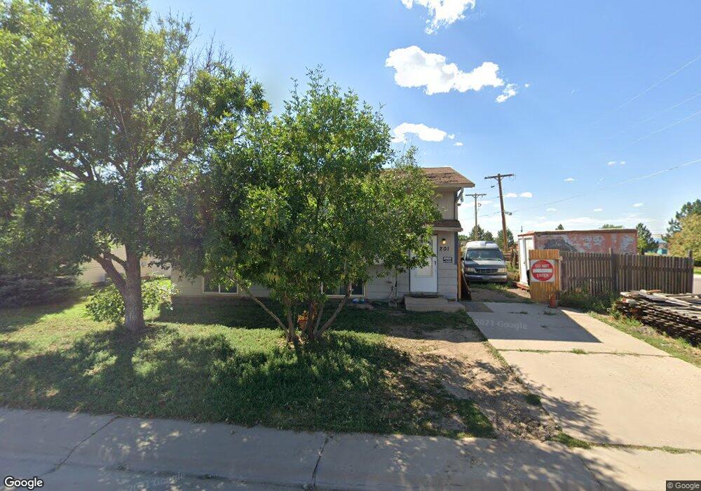
201 Birch St Bennett, CO 80102
Estimated Value: $357,538 - $396,000
4
Beds
2
Baths
1,786
Sq Ft
$213/Sq Ft
Est. Value
About This Home
This home is located at 201 Birch St, Bennett, CO 80102 and is currently estimated at $380,135, approximately $212 per square foot. 201 Birch St is a home located in Adams County with nearby schools including Bennett Elementary School, Bennett Middle School, and Bennett High School.
Ownership History
Date
Name
Owned For
Owner Type
Purchase Details
Closed on
Oct 17, 2013
Sold by
Gunn Carl Frances
Bought by
Lopez Alvaro Genovevo
Current Estimated Value
Home Financials for this Owner
Home Financials are based on the most recent Mortgage that was taken out on this home.
Original Mortgage
$115,938
Outstanding Balance
$85,620
Interest Rate
4.37%
Mortgage Type
New Conventional
Estimated Equity
$294,516
Create a Home Valuation Report for This Property
The Home Valuation Report is an in-depth analysis detailing your home's value as well as a comparison with similar homes in the area
Purchase History
| Date | Buyer | Sale Price | Title Company |
|---|---|---|---|
| Lopez Alvaro Genovevo | $120,000 | Fidelity National Title Insu |
Source: Public Records
Mortgage History
| Date | Status | Borrower | Loan Amount |
|---|---|---|---|
| Open | Lopez Alvaro Genovevo | $115,938 |
Source: Public Records
Tax History
| Year | Tax Paid | Tax Assessment Tax Assessment Total Assessment is a certain percentage of the fair market value that is determined by local assessors to be the total taxable value of land and additions on the property. | Land | Improvement |
|---|---|---|---|---|
| 2025 | $1,818 | $24,620 | $4,080 | $20,540 |
| 2024 | $1,818 | $22,630 | $3,750 | $18,880 |
| 2023 | $1,829 | $25,100 | $2,030 | $23,070 |
| 2022 | $1,665 | $19,320 | $2,090 | $17,230 |
| 2021 | $1,700 | $19,320 | $2,090 | $17,230 |
| 2020 | $1,561 | $18,530 | $2,150 | $16,380 |
| 2019 | $1,603 | $18,530 | $2,150 | $16,380 |
| 2018 | $1,466 | $15,410 | $2,160 | $13,250 |
| 2017 | $1,479 | $15,410 | $2,160 | $13,250 |
| 2016 | $1,098 | $11,850 | $2,390 | $9,460 |
| 2015 | $1,093 | $11,850 | $2,390 | $9,460 |
| 2014 | -- | $10,790 | $2,390 | $8,400 |
Source: Public Records
Map
Nearby Homes
Your Personal Tour Guide
Ask me questions while you tour the home.