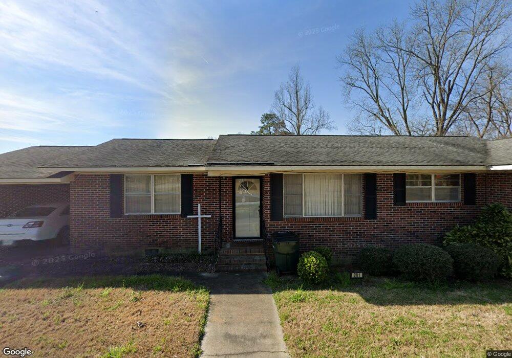
201 Blalock St Claxton, GA 30417
Estimated Value: $160,952 - $274,000
3
Beds
2
Baths
1,661
Sq Ft
$123/Sq Ft
Est. Value
About This Home
This home is located at 201 Blalock St, Claxton, GA 30417 and is currently estimated at $204,738, approximately $123 per square foot. 201 Blalock St is a home with nearby schools including Claxton Elementary School, Second Chance, and Claxton Middle School.
Ownership History
Date
Name
Owned For
Owner Type
Purchase Details
Closed on
Dec 17, 2015
Sold by
Mccoy Bobby A
Bought by
Mccoy Bobby Darin
Current Estimated Value
Purchase Details
Closed on
Jul 23, 2008
Sold by
Mccoy Bobby Alton
Bought by
Mccoy Rentals Inc
Purchase Details
Closed on
Jan 1, 1968
Sold by
Blalock Alvin
Bought by
Mccoy Bobby and Mccoy Janara B
Purchase Details
Closed on
Mar 16, 1964
Sold by
H and C
Bought by
Blalock Alvin
Create a Home Valuation Report for This Property
The Home Valuation Report is an in-depth analysis detailing your home's value as well as a comparison with similar homes in the area
Home Values in the Area
Average Home Value in this Area
Purchase History
| Date | Buyer | Sale Price | Title Company |
|---|---|---|---|
| Mccoy Bobby Darin | -- | -- | |
| Mccoy Rentals Inc | -- | -- | |
| Mccoy Bobby | -- | -- | |
| Blalock Alvin | -- | -- |
Source: Public Records
Tax History Compared to Growth
Tax History
| Year | Tax Paid | Tax Assessment Tax Assessment Total Assessment is a certain percentage of the fair market value that is determined by local assessors to be the total taxable value of land and additions on the property. | Land | Improvement |
|---|---|---|---|---|
| 2024 | $1,289 | $55,480 | $2,160 | $53,320 |
| 2023 | $865 | $29,216 | $3,720 | $25,496 |
| 2022 | $823 | $29,216 | $3,720 | $25,496 |
| 2021 | $823 | $29,216 | $3,720 | $25,496 |
| 2020 | $823 | $29,216 | $3,720 | $25,496 |
| 2019 | $823 | $29,216 | $3,720 | $25,496 |
| 2018 | $740 | $26,256 | $3,720 | $22,536 |
| 2017 | $823 | $29,216 | $3,720 | $25,496 |
| 2016 | $794 | $28,188 | $2,440 | $25,748 |
| 2015 | -- | $29,068 | $2,440 | $26,628 |
| 2014 | -- | $29,068 | $2,440 | $26,628 |
| 2013 | -- | $29,948 | $2,440 | $27,508 |
Source: Public Records
Map
Nearby Homes
- 147 Creek Ridge Rd
- 179 Creek Ridge Rd
- 19 Collins St
- 29 Grove Ln
- 1302 Jim Sapp Rd
- LOT 7 Tupelo Dr
- 4909 Perry Rd
- 0 Turnpike Rd Unit SA339603
- 15683 Ga Highway 129 N
- 319 A Rupert Wood Ln
- 0 Dublin Rd
- 47 Manassas Station Rd
- 308 Old Metter Rd
- 62 Manassas Station Rd
- 92 Graham Ln
- 4164 Perry Rd
- 628 Riverside Dr
- 712 Rosedale Ave
- 19 Wysteria Ln
- 610 W Liberty St
- 205 Blalock St
- 209 Blalock St
- 210 Blalock St
- 202 Hearn St
- 213 Blalock St
- 206 Hearn St
- 216 N Smith St
- 212 N Smith St
- 222 N Smith St
- 303 Hearn St
- 211 N North Smith St
- 211 N Smith St
- 215 N Smith St
- 219 N Smith St
- 228 N Smith St
- N Smith St
- 223 N Smith St
- 1329 Bernie Anderson Hwy
- 232 N Smith St
- 125 S Smith St