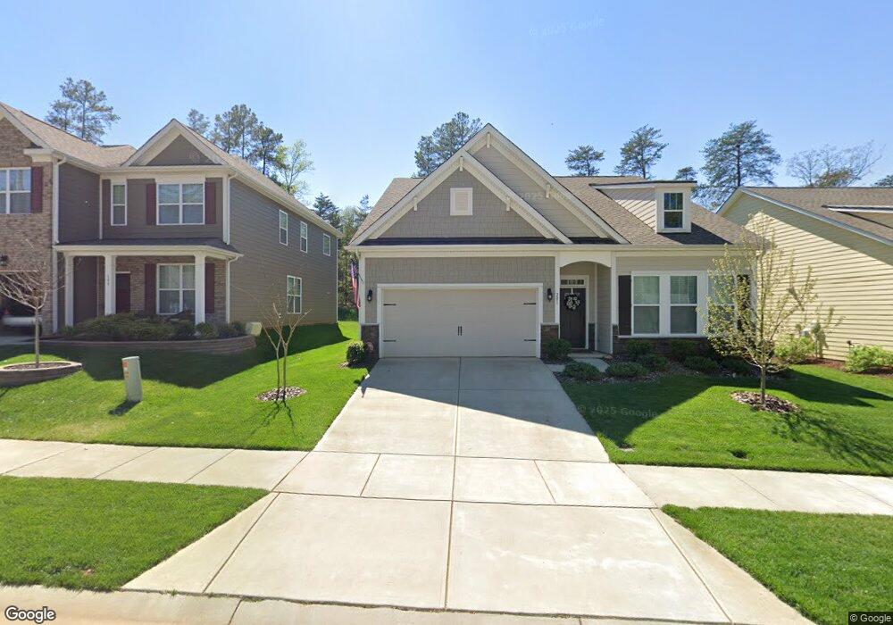
201 Blueview Rd Unit 57 Mooresville, NC 28117
Estimated Value: $478,272 - $625,000
3
Beds
2
Baths
1,906
Sq Ft
$286/Sq Ft
Est. Value
About This Home
This home is located at 201 Blueview Rd Unit 57, Mooresville, NC 28117 and is currently estimated at $545,818, approximately $286 per square foot. 201 Blueview Rd Unit 57 is a home located in Iredell County with nearby schools including Lakeshore Elementary School, Lakeshore Middle School, and Lake Norman High School.
Ownership History
Date
Name
Owned For
Owner Type
Purchase Details
Closed on
Dec 29, 2016
Sold by
D R Horton Inc
Bought by
Malec Michael R and Malec Analisa C
Current Estimated Value
Home Financials for this Owner
Home Financials are based on the most recent Mortgage that was taken out on this home.
Original Mortgage
$256,000
Outstanding Balance
$209,875
Interest Rate
3.94%
Mortgage Type
New Conventional
Estimated Equity
$335,943
Purchase Details
Closed on
Sep 20, 2016
Sold by
Bluefields Of Lkn Llc
Bought by
Dr Horton Inc
Create a Home Valuation Report for This Property
The Home Valuation Report is an in-depth analysis detailing your home's value as well as a comparison with similar homes in the area
Home Values in the Area
Average Home Value in this Area
Purchase History
| Date | Buyer | Sale Price | Title Company |
|---|---|---|---|
| Malec Michael R | $320,000 | None Available | |
| Dr Horton Inc | $74,000 | None Available |
Source: Public Records
Mortgage History
| Date | Status | Borrower | Loan Amount |
|---|---|---|---|
| Open | Malec Michael R | $256,000 |
Source: Public Records
Tax History Compared to Growth
Tax History
| Year | Tax Paid | Tax Assessment Tax Assessment Total Assessment is a certain percentage of the fair market value that is determined by local assessors to be the total taxable value of land and additions on the property. | Land | Improvement |
|---|---|---|---|---|
| 2024 | $4,636 | $444,480 | $90,000 | $354,480 |
| 2023 | $4,576 | $444,480 | $90,000 | $354,480 |
| 2022 | $3,416 | $289,610 | $62,000 | $227,610 |
| 2021 | $3,412 | $289,610 | $62,000 | $227,610 |
| 2020 | $3,412 | $289,610 | $62,000 | $227,610 |
| 2019 | $3,383 | $289,610 | $62,000 | $227,610 |
| 2018 | $3,185 | $272,020 | $60,000 | $212,020 |
| 2017 | $3,450 | $301,400 | $60,000 | $241,400 |
Source: Public Records
Map
Nearby Homes
- 131 Canoe Pole Ln
- 142 Canoe Pole Ln
- 208 Canoe Pole Ln
- 194 Hanks Bluff Dr
- 148 Twin Sisters Ln
- 110 Hunts Landing Dr
- 127 Palos Verde Dr
- 000 Bluefield Rd
- 124 Cedar Woods Dr
- 125 Cherokee Dr
- 107 Rosebay Dr
- 148 Castle Dr
- 796 Cornelius Rd
- 117 Blackbeard Ln
- 107 Blackbeard Ln Unit 2
- 456 Cornelius Rd
- 110 Dorothy Ln
- 108 Fransher Ln
- 0000 Dorothy Ln
- 111 Wilton Place
- 203 Blueview Rd
- 199 Blarney Rd Unit 56
- 203 Blarney Rd Unit 58
- 199 Blueview Rd
- 205 Blarney Rd Unit 59
- 197 Blueview Rd Unit 55
- 197 Blueview Rd
- 205 Blueview Rd
- 207 Blueview Rd
- 207 Blarney Rd Unit 60
- 195 Blueview Rd Unit 54
- 209 Blueview Rd
- 209 Blarney Rd Unit 61
- 193 Blueview Rd Unit 53
- 127 Canoe Pole Ln Unit 109
- 127 Canoe Pole Ln
- 131 Canoe Pole Ln Unit 108
- 123 Canoe Pole Ln
- 211 Blarney Rd Unit 62
- 211 Blueview Rd