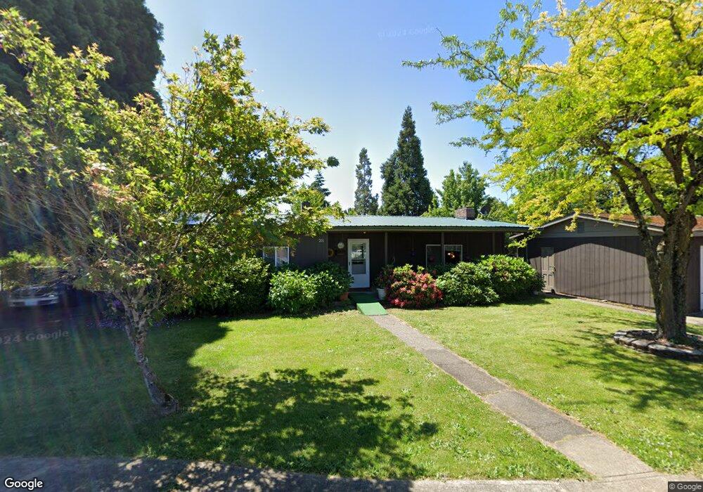
201 Boatlanding St Independence, OR 97351
Estimated Value: $331,000 - $384,126
4
Beds
1
Bath
1,622
Sq Ft
$222/Sq Ft
Est. Value
About This Home
This home is located at 201 Boatlanding St, Independence, OR 97351 and is currently estimated at $360,532, approximately $222 per square foot. 201 Boatlanding St is a home located in Polk County with nearby schools including Independence Elementary School, Talmadge Middle School, and Central High School.
Ownership History
Date
Name
Owned For
Owner Type
Purchase Details
Closed on
Apr 4, 2023
Sold by
Cunningham John R
Bought by
Cunningham Brandon A and Cunningham Patricia L
Current Estimated Value
Home Financials for this Owner
Home Financials are based on the most recent Mortgage that was taken out on this home.
Original Mortgage
$323,040
Outstanding Balance
$314,062
Interest Rate
6.6%
Mortgage Type
FHA
Estimated Equity
$46,470
Purchase Details
Closed on
Aug 27, 2014
Sold by
Cunningham John R
Bought by
Cunningham John R and Cunningham Patricia L
Home Financials for this Owner
Home Financials are based on the most recent Mortgage that was taken out on this home.
Original Mortgage
$78,000
Interest Rate
4.11%
Mortgage Type
Seller Take Back
Create a Home Valuation Report for This Property
The Home Valuation Report is an in-depth analysis detailing your home's value as well as a comparison with similar homes in the area
Home Values in the Area
Average Home Value in this Area
Purchase History
| Date | Buyer | Sale Price | Title Company |
|---|---|---|---|
| Cunningham Brandon A | $329,000 | First American Title | |
| Cunningham John R | -- | None Available |
Source: Public Records
Mortgage History
| Date | Status | Borrower | Loan Amount |
|---|---|---|---|
| Open | Cunningham Brandon A | $323,040 | |
| Previous Owner | Cunningham John R | $78,000 |
Source: Public Records
Tax History Compared to Growth
Tax History
| Year | Tax Paid | Tax Assessment Tax Assessment Total Assessment is a certain percentage of the fair market value that is determined by local assessors to be the total taxable value of land and additions on the property. | Land | Improvement |
|---|---|---|---|---|
| 2025 | $2,529 | $143,800 | $38,690 | $105,110 |
| 2024 | $2,529 | $139,620 | $37,560 | $102,060 |
| 2023 | $2,594 | $135,560 | $36,470 | $99,090 |
| 2022 | $2,381 | $131,620 | $35,400 | $96,220 |
| 2021 | $2,355 | $127,790 | $34,370 | $93,420 |
| 2020 | $2,293 | $124,070 | $33,370 | $90,700 |
| 2019 | $2,234 | $120,460 | $32,400 | $88,060 |
| 2018 | $2,163 | $116,960 | $31,460 | $85,500 |
| 2017 | $2,151 | $113,560 | $30,540 | $83,020 |
| 2016 | $2,191 | $110,260 | $29,650 | $80,610 |
| 2015 | $2,105 | $107,050 | $28,780 | $78,270 |
| 2014 | $2,060 | $103,940 | $27,940 | $76,000 |
Source: Public Records
Map
Nearby Homes
- 689 Log Cabin St
- 222 Picture St
- 222 1/2 Picture St
- 222 and 222 1 2 Picture St
- 222 Boatlanding St
- 240 Boatlanding St
- 665 Marsh St
- 280 Boatlanding St
- 147 Boatlanding St
- 707 Log Cabin St
- 709 Log Cabin St
- 182 Picture St
- 147 Boatlanding (-149) St
- 729 Log Cabin St
- 731 Marsh St
- 711 Marsh St
- 727 Log Cabin (-729) St
- 210 Picture St
- 731 Marsh (-741) St
- 741 Marsh St