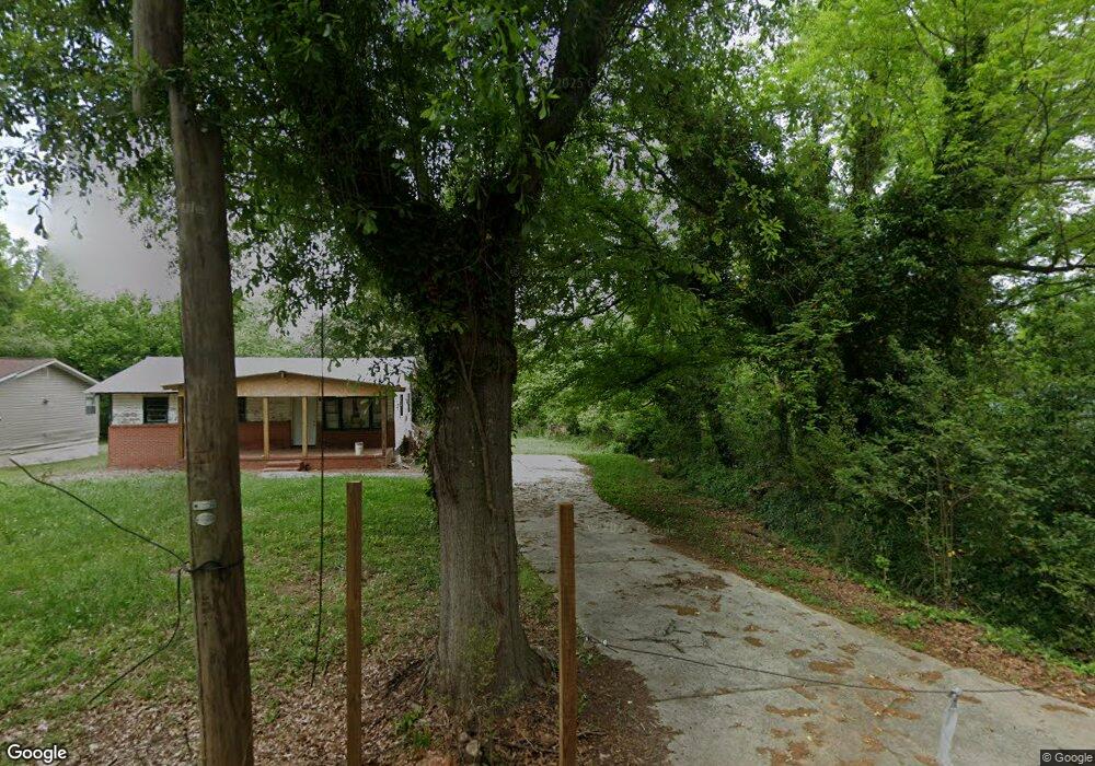
201 Bourbon St Griffin, GA 30223
Spalding County NeighborhoodEstimated Value: $40,000 - $223,000
Studio
--
Bath
--
Sq Ft
5,663
Sq Ft Lot
About This Home
This home is located at 201 Bourbon St, Griffin, GA 30223 and is currently estimated at $154,000. 201 Bourbon St is a home located in Spalding County with nearby schools including Moore Elementary School, Kennedy Road Middle School, and Griffin High School.
Ownership History
Date
Name
Owned For
Owner Type
Purchase Details
Closed on
Apr 5, 2016
Sold by
Spalding County Tax Comm
Bought by
Garland Cliftoria S
Current Estimated Value
Purchase Details
Closed on
Dec 1, 2009
Sold by
Tax Commissioner & Ex Officio and Mangham Raymond
Bought by
Jones April
Purchase Details
Closed on
May 3, 1972
Sold by
Mobley H S
Bought by
Mangham Raymond and Ola Mae
Purchase Details
Closed on
Nov 13, 1969
Sold by
J Mobley H and J W
Bought by
Mobley H S
Purchase Details
Closed on
Oct 24, 1956
Bought by
J Mobley H and J W
Create a Home Valuation Report for This Property
The Home Valuation Report is an in-depth analysis detailing your home's value as well as a comparison with similar homes in the area
Home Values in the Area
Average Home Value in this Area
Purchase History
| Date | Buyer | Sale Price | Title Company |
|---|---|---|---|
| Garland Cliftoria S | $432 | -- | |
| Jones April | $746 | -- | |
| Mangham Raymond | $1,000 | -- | |
| Mobley H S | $500 | -- | |
| J Mobley H | -- | -- |
Source: Public Records
Tax History
| Year | Tax Paid | Tax Assessment Tax Assessment Total Assessment is a certain percentage of the fair market value that is determined by local assessors to be the total taxable value of land and additions on the property. | Land | Improvement |
|---|---|---|---|---|
| 2025 | $137 | $3,840 | $3,840 | $0 |
| 2024 | $136 | $3,840 | $3,840 | $0 |
| 2023 | $137 | $1,600 | $1,600 | $0 |
| 2022 | $44 | $1,200 | $1,200 | $0 |
| 2021 | $44 | $1,200 | $1,200 | $0 |
| 2020 | $44 | $1,200 | $1,200 | $0 |
| 2019 | $45 | $1,200 | $1,200 | $0 |
| 2018 | $46 | $1,200 | $1,200 | $0 |
| 2017 | $45 | $1,200 | $1,200 | $0 |
| 2016 | $45 | $1,200 | $1,200 | $0 |
| 2015 | $47 | $1,200 | $1,200 | $0 |
| 2014 | $48 | $1,200 | $1,200 | $0 |
Source: Public Records
Map
Nearby Homes
- 0 Tuskegee Ave Unit 7674017
- N 9 St
- 117 Thurman St
- 563 Hornbeam Dr
- 1324 Spellman Ave
- 221 Lexington Ave
- 1401 Lincoln Rd
- 1416 Spellman Ave
- 1405 Lincoln Rd
- 135 Alabama St
- 607 N Hill St
- 607 Lane St
- 115 Elm St
- 561 N 6th St
- 32 UNIT MUTLIPL Multiple
- 310 Ext Sunset Dr
- 1406 Canterbury Rd
- 554 N 8th St
- 0 Short St Unit 10555372
- 0 Short St Unit 7572526
Your Personal Tour Guide
Ask me questions while you tour the home.