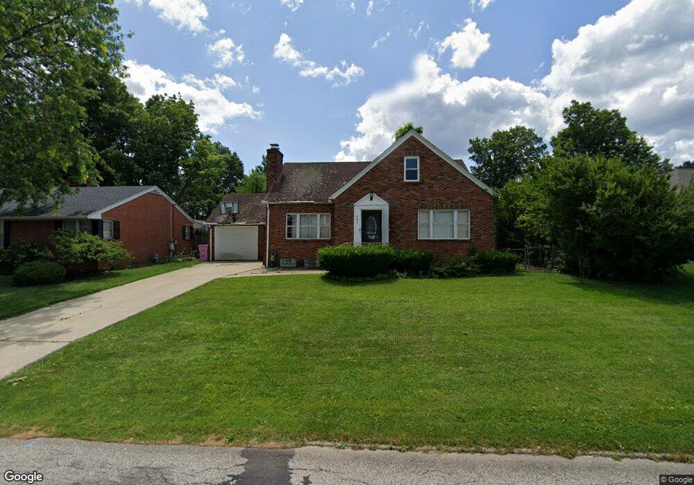
201 Bowland Rd Mansfield, OH 44907
Estimated Value: $157,000 - $173,944
3
Beds
2
Baths
1,394
Sq Ft
$119/Sq Ft
Est. Value
About This Home
This home is located at 201 Bowland Rd, Mansfield, OH 44907 and is currently estimated at $165,486, approximately $118 per square foot. 201 Bowland Rd is a home located in Richland County with nearby schools including St. Peter's Elementary/Montessori School, St. Peter's High School/Junior High, and Discovery School.
Ownership History
Date
Name
Owned For
Owner Type
Purchase Details
Closed on
Apr 26, 2004
Sold by
Petty Bonnie J and Petty Fred
Bought by
Mack Corey T
Current Estimated Value
Home Financials for this Owner
Home Financials are based on the most recent Mortgage that was taken out on this home.
Original Mortgage
$81,897
Outstanding Balance
$38,290
Interest Rate
5.46%
Mortgage Type
FHA
Estimated Equity
$127,196
Purchase Details
Closed on
May 6, 2002
Sold by
Bush Kenneth J
Bought by
Petty Corey T Mack Bonnie
Home Financials for this Owner
Home Financials are based on the most recent Mortgage that was taken out on this home.
Original Mortgage
$79,677
Interest Rate
7.18%
Mortgage Type
FHA
Purchase Details
Closed on
Mar 1, 1983
Create a Home Valuation Report for This Property
The Home Valuation Report is an in-depth analysis detailing your home's value as well as a comparison with similar homes in the area
Home Values in the Area
Average Home Value in this Area
Purchase History
| Date | Buyer | Sale Price | Title Company |
|---|---|---|---|
| Mack Corey T | -- | -- | |
| Petty Corey T Mack Bonnie | $88,000 | -- | |
| -- | $39,200 | -- |
Source: Public Records
Mortgage History
| Date | Status | Borrower | Loan Amount |
|---|---|---|---|
| Open | Mack Corey T | $81,897 | |
| Previous Owner | Petty Corey T Mack Bonnie | $79,677 |
Source: Public Records
Tax History Compared to Growth
Tax History
| Year | Tax Paid | Tax Assessment Tax Assessment Total Assessment is a certain percentage of the fair market value that is determined by local assessors to be the total taxable value of land and additions on the property. | Land | Improvement |
|---|---|---|---|---|
| 2024 | $2,250 | $45,770 | $7,290 | $38,480 |
| 2023 | $2,143 | $45,770 | $7,290 | $38,480 |
| 2022 | $1,922 | $34,400 | $6,360 | $28,040 |
| 2021 | $1,935 | $34,400 | $6,360 | $28,040 |
| 2020 | $1,979 | $34,400 | $6,360 | $28,040 |
| 2019 | $1,859 | $29,160 | $5,390 | $23,770 |
| 2018 | $1,834 | $29,160 | $5,390 | $23,770 |
| 2017 | $1,777 | $29,160 | $5,390 | $23,770 |
| 2016 | $1,769 | $28,040 | $5,120 | $22,920 |
| 2015 | $1,690 | $28,040 | $5,120 | $22,920 |
| 2014 | $1,668 | $28,040 | $5,120 | $22,920 |
| 2012 | $669 | $29,520 | $5,390 | $24,130 |
Source: Public Records
Map
Nearby Homes
- 0 Cline Ave Hedeen Abbeyfeale Unit 9066362
- 505 Wood St
- 353 Sturges Ave
- 120 Grover St
- 172 -172 1 2 Lexington Ave
- 470 Lexington Ave
- 137 Lexington Ave
- 257 Wood St
- 181 Chilton Ave
- 179 Chilton Ave
- 394 S Main St
- 96 Glenwood Heights
- 286 S Main St
- 33 Chilton Ave
- 327 Hammond Ave
- 259 S Main St
- 186 S Mulberry St
- 212 S Main St
- 135 Wood St
- 675 Wildwood Dr