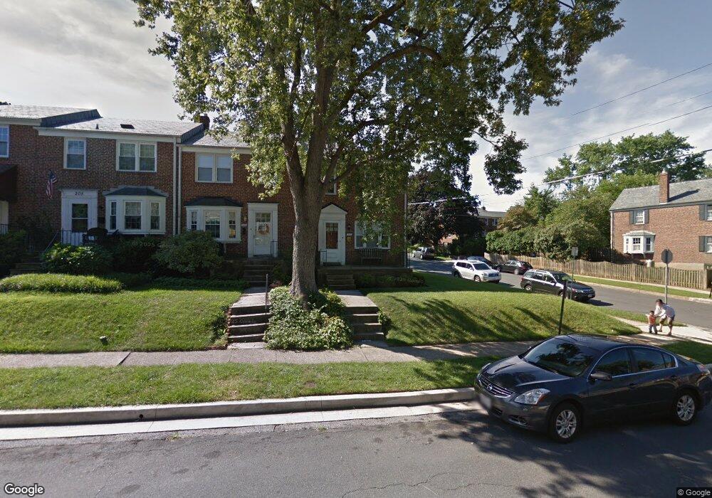
201 Brandon Rd Baltimore, MD 21212
Estimated Value: $358,000 - $426,000
--
Bed
1
Bath
1,216
Sq Ft
$318/Sq Ft
Est. Value
About This Home
This home is located at 201 Brandon Rd, Baltimore, MD 21212 and is currently estimated at $386,820, approximately $318 per square foot. 201 Brandon Rd is a home located in Baltimore County with nearby schools including Rodgers Forge Elementary School, Dumbarton Middle School, and Towson High Law & Public Policy.
Ownership History
Date
Name
Owned For
Owner Type
Purchase Details
Closed on
Oct 12, 2011
Sold by
Mccarthy Mary
Bought by
Campbell Robert
Current Estimated Value
Purchase Details
Closed on
Jul 19, 2005
Sold by
Kammar Constance L
Bought by
Mccarthy Mary and Campbell Robert
Home Financials for this Owner
Home Financials are based on the most recent Mortgage that was taken out on this home.
Original Mortgage
$293,550
Interest Rate
5.82%
Mortgage Type
New Conventional
Create a Home Valuation Report for This Property
The Home Valuation Report is an in-depth analysis detailing your home's value as well as a comparison with similar homes in the area
Home Values in the Area
Average Home Value in this Area
Purchase History
| Date | Buyer | Sale Price | Title Company |
|---|---|---|---|
| Campbell Robert | -- | -- | |
| Campbell Robert | -- | None Available | |
| Campbell Robert | -- | -- | |
| Mccarthy Mary | $285,000 | -- |
Source: Public Records
Mortgage History
| Date | Status | Borrower | Loan Amount |
|---|---|---|---|
| Previous Owner | Mccarthy Mary | $293,550 |
Source: Public Records
Tax History Compared to Growth
Tax History
| Year | Tax Paid | Tax Assessment Tax Assessment Total Assessment is a certain percentage of the fair market value that is determined by local assessors to be the total taxable value of land and additions on the property. | Land | Improvement |
|---|---|---|---|---|
| 2025 | $4,872 | $341,800 | $100,000 | $241,800 |
| 2024 | $4,872 | $327,367 | $0 | $0 |
| 2023 | $2,340 | $312,933 | $0 | $0 |
| 2022 | $4,431 | $298,500 | $100,000 | $198,500 |
| 2021 | $4,496 | $298,500 | $100,000 | $198,500 |
| 2020 | $4,496 | $298,500 | $100,000 | $198,500 |
| 2019 | $4,130 | $300,300 | $100,000 | $200,300 |
| 2018 | $3,869 | $283,500 | $0 | $0 |
| 2017 | $3,701 | $266,700 | $0 | $0 |
| 2016 | $3,248 | $249,900 | $0 | $0 |
| 2015 | $3,248 | $249,900 | $0 | $0 |
| 2014 | $3,248 | $249,900 | $0 | $0 |
Source: Public Records
Map
Nearby Homes
- 130 Dumbarton Rd
- 6502 Abbey View Way
- 117 Glen Argyle Rd
- 6438 Cloister Gate Dr
- 146 Villabrook Way
- 418 Chumleigh Rd
- 223 Dunkirk Rd
- 425 Rodgers Ct
- 102 Villabrook Way
- 100 Villabrook Way
- 106 Villabrook Way
- 123 Villabrook Way
- 6679 Walnutwood Cir
- 227 Overbrook Rd
- 6316 Mossway
- 2A Gittings Ave
- 443 Schwartz Ave
- 6235 Bellona Ave
- 625 Yarmouth Rd
- 664 Regester Ave
- 203 Brandon Rd
- 205 Brandon Rd
- 207 Brandon Rd
- 161 Brandon Rd
- 209 Brandon Rd
- 200 Stevenson Ln
- 159 Brandon Rd
- 211 Brandon Rd
- 204 Stevenson Ln
- 157 Brandon Rd
- 206 Stevenson Ln
- 213 Brandon Rd
- 215 Brandon Rd
- 202 Stevenson Ln
- 208 Stevenson Ln
- 204 Brandon Rd
- 200 Brandon Rd
- 153 Brandon Rd
- 206 Brandon Rd
- 152 Stevenson Ln