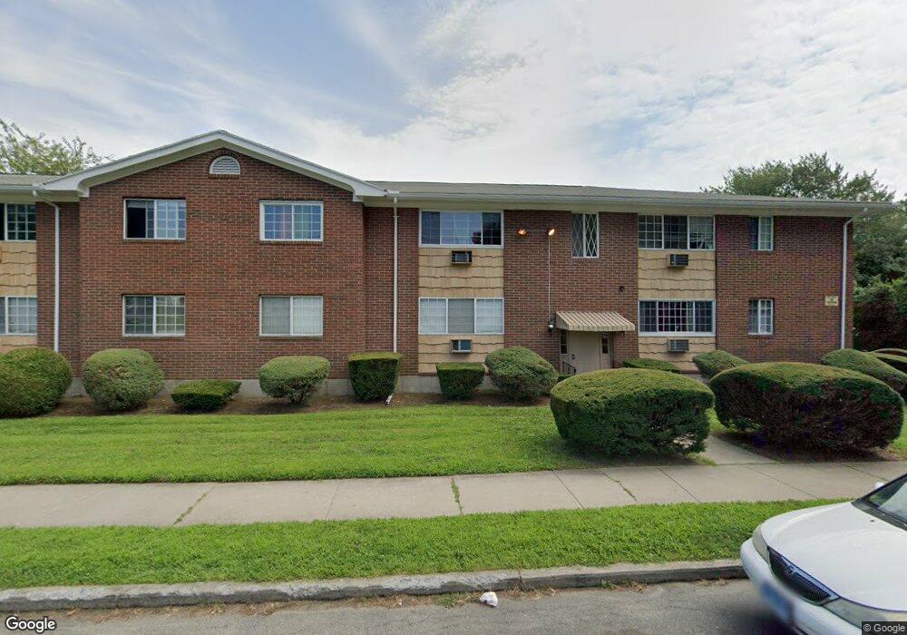
201 Bretton St Unit C5 Bridgeport, CT 06606
North End NeighborhoodEstimated Value: $128,000 - $361,524
1
Bed
1
Bath
626
Sq Ft
$342/Sq Ft
Est. Value
About This Home
This home is located at 201 Bretton St Unit C5, Bridgeport, CT 06606 and is currently estimated at $213,841, approximately $341 per square foot. 201 Bretton St Unit C5 is a home located in Fairfield County with nearby schools including Blackham School, Central High School, and Assumption Catholic School.
Ownership History
Date
Name
Owned For
Owner Type
Purchase Details
Closed on
Oct 17, 2023
Sold by
Orange County Home Soluti
Bought by
Turkey Point Properties L
Current Estimated Value
Purchase Details
Closed on
Sep 11, 2023
Sold by
Silo Way Llc
Bought by
Orange Cnty Hm Solutions
Purchase Details
Closed on
Mar 5, 2007
Sold by
Orlowski Maria
Bought by
Silo Way Llc
Create a Home Valuation Report for This Property
The Home Valuation Report is an in-depth analysis detailing your home's value as well as a comparison with similar homes in the area
Home Values in the Area
Average Home Value in this Area
Purchase History
| Date | Buyer | Sale Price | Title Company |
|---|---|---|---|
| Turkey Point Properties L | $545,455 | None Available | |
| Turkey Point Properties L | $545,455 | None Available | |
| Orange Cnty Hm Solutions | $98,250 | None Available | |
| Orange Cnty Hm Solutions | $98,250 | None Available | |
| Silo Way Llc | $96,500 | -- | |
| Silo Way Llc | $96,500 | -- |
Source: Public Records
Tax History Compared to Growth
Tax History
| Year | Tax Paid | Tax Assessment Tax Assessment Total Assessment is a certain percentage of the fair market value that is determined by local assessors to be the total taxable value of land and additions on the property. | Land | Improvement |
|---|---|---|---|---|
| 2025 | $2,061 | $47,440 | $0 | $47,440 |
| 2024 | $2,061 | $47,440 | $0 | $47,440 |
| 2023 | $2,061 | $47,440 | $0 | $47,440 |
| 2022 | $2,061 | $47,440 | $0 | $47,440 |
| 2021 | $2,061 | $47,440 | $0 | $47,440 |
| 2020 | $1,546 | $28,640 | $0 | $28,640 |
| 2019 | $1,546 | $28,640 | $0 | $28,640 |
| 2018 | $1,557 | $28,640 | $0 | $28,640 |
| 2017 | $1,557 | $28,640 | $0 | $28,640 |
| 2016 | $1,557 | $28,640 | $0 | $28,640 |
| 2015 | $2,494 | $59,110 | $0 | $59,110 |
| 2014 | $2,494 | $59,110 | $0 | $59,110 |
Source: Public Records
Map
Nearby Homes
- 1852 Madison Ave
- 669 Clark St
- 604 Birmingham St
- 681 Westfield Ave
- 40 Northfield St
- 200 Stratfield Place
- 385 Burnsford Ave
- 626 Merritt St
- 105 Tremont Ave Unit E
- 3200 Park Ave Unit 7B2
- 3200 Park Ave Unit 6F1
- 520 Wayne St
- 405 Ruth St
- 110 Quince St
- 214 Burnsford Ave
- 252 Harlem Ave Unit B6
- 260 Birmingham St
- 954 Birmingham St
- 855 Burnsford Ave
- 113 Clark St
- 201 Bretton St Unit C12
- 201 Bretton St Unit C11
- 201 Bretton St Unit C10
- 201 Bretton St Unit C9
- 201 Bretton St Unit C8
- 201 Bretton St Unit C7
- 201 Bretton St Unit C6
- 201 Bretton St Unit C4
- 201 Bretton St Unit C3
- 201 Bretton St Unit C2
- 201 Bretton St Unit C1
- 201 Bretton St Unit C12
- 201 Bretton St Unit D10
- 185 Bretton St Unit B12
- 185 Bretton St Unit B10
- 185 Bretton St Unit B8
- 185 Bretton St Unit B7
- 185 Bretton St Unit B6
- 185 Bretton St Unit B5
- 185 Bretton St Unit B4