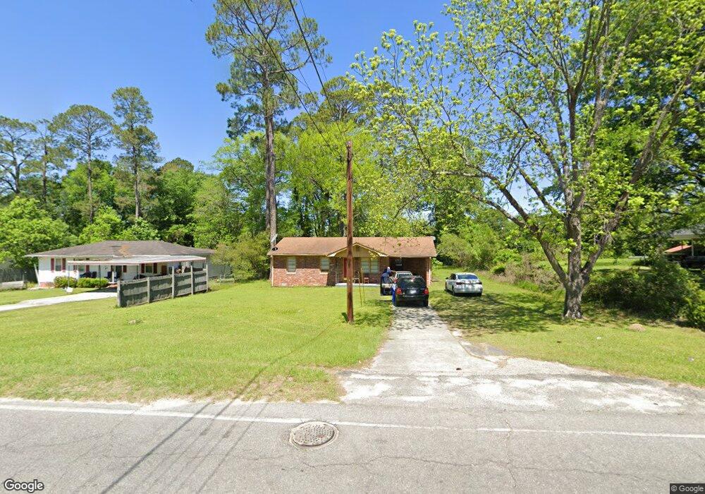
201 Broad St East Dublin, GA 31027
Estimated Value: $80,000 - $157,000
4
Beds
2
Baths
2,052
Sq Ft
$57/Sq Ft
Est. Value
About This Home
This home is located at 201 Broad St, East Dublin, GA 31027 and is currently estimated at $116,844, approximately $56 per square foot. 201 Broad St is a home located in Laurens County with nearby schools including Northwest Laurens Elementary School, Southwest Laurens Elementary School, and East Laurens Primary School.
Ownership History
Date
Name
Owned For
Owner Type
Purchase Details
Closed on
Dec 17, 2010
Sold by
May Edwin
Bought by
Purple Dog Properties Llc
Current Estimated Value
Purchase Details
Closed on
Jun 1, 2010
Sold by
Richard John B
Bought by
Bank Of Dudley
Purchase Details
Closed on
Feb 13, 2004
Sold by
Garrett William E
Bought by
Richard John B
Purchase Details
Closed on
Sep 9, 1909
Bought by
Garrett William E
Create a Home Valuation Report for This Property
The Home Valuation Report is an in-depth analysis detailing your home's value as well as a comparison with similar homes in the area
Home Values in the Area
Average Home Value in this Area
Purchase History
| Date | Buyer | Sale Price | Title Company |
|---|---|---|---|
| Purple Dog Properties Llc | $17,500 | -- | |
| May Edwin | $17,500 | -- | |
| Bank Of Dudley | -- | -- | |
| Federal Home Loan Mortgage Corp | -- | -- | |
| Richard John B | $29,000 | -- | |
| Garrett William E | -- | -- |
Source: Public Records
Tax History Compared to Growth
Tax History
| Year | Tax Paid | Tax Assessment Tax Assessment Total Assessment is a certain percentage of the fair market value that is determined by local assessors to be the total taxable value of land and additions on the property. | Land | Improvement |
|---|---|---|---|---|
| 2024 | $567 | $21,760 | $1,920 | $19,840 |
| 2023 | $528 | $20,674 | $1,920 | $18,754 |
| 2022 | $439 | $20,674 | $1,920 | $18,754 |
| 2021 | $440 | $20,162 | $2,200 | $17,962 |
| 2020 | $440 | $20,162 | $2,200 | $17,962 |
| 2019 | $440 | $20,162 | $2,200 | $17,962 |
| 2018 | $441 | $20,162 | $2,200 | $17,962 |
| 2017 | $441 | $20,162 | $2,200 | $17,962 |
| 2016 | $441 | $20,162 | $2,200 | $17,962 |
| 2015 | $488 | $26,257 | $2,200 | $24,057 |
| 2014 | $271 | $12,073 | $2,000 | $10,073 |
Source: Public Records
Map
Nearby Homes
- 121 Coleman Ave
- 102 Circle Dr
- 1490 N Hwy 319
- 0 Glen Dr Unit 30353
- 0 Glen Dr Unit 10611123
- 0 Glen Dr Unit 30351
- 0 Glen Dr Unit 10611113
- 103 Forest Ave
- 330 Bradley Ct
- 0 Hillcrest Dr Unit 22383
- 237 Rex Miller Rd
- 00 Bridgemill Rd
- 00 Stoney Ridge Dr
- 0 Stoney Ridge Dr
- 703 Hudson St
- 621 S Decatur St
- 0 Bridgemill Dr Unit 10533945
- 335 Windsong Dr
- LOT 4 Wind Song Dr
- 844 Windward Way