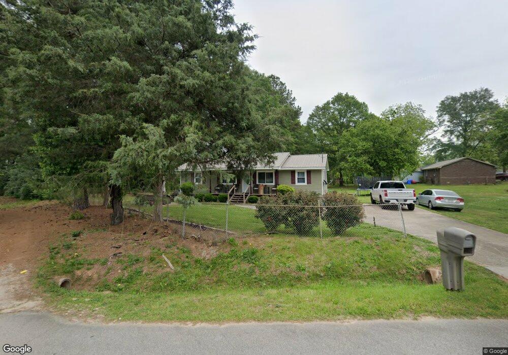
201 Brooks Rd Hogansville, GA 30230
Estimated Value: $145,160 - $171,000
3
Beds
1
Bath
1,152
Sq Ft
$134/Sq Ft
Est. Value
About This Home
This home is located at 201 Brooks Rd, Hogansville, GA 30230 and is currently estimated at $154,040, approximately $133 per square foot. 201 Brooks Rd is a home located in Troup County with nearby schools including Hogansville Elementary School, Callaway Elementary School, and Callaway Middle School.
Ownership History
Date
Name
Owned For
Owner Type
Purchase Details
Closed on
Mar 17, 1989
Sold by
Jim Walter Homes
Bought by
Jackson Reginald
Current Estimated Value
Purchase Details
Closed on
Mar 8, 1989
Sold by
Wm Wade Trustee
Bought by
Jim Walter Homes
Purchase Details
Closed on
Mar 7, 1989
Sold by
Felice Larry and Felice Blunt
Bought by
Wm Wade Trustee
Purchase Details
Closed on
Apr 1, 1987
Bought by
Felice Larry and Felice Blunt
Purchase Details
Closed on
Nov 1, 1983
Create a Home Valuation Report for This Property
The Home Valuation Report is an in-depth analysis detailing your home's value as well as a comparison with similar homes in the area
Home Values in the Area
Average Home Value in this Area
Purchase History
| Date | Buyer | Sale Price | Title Company |
|---|---|---|---|
| Jackson Reginald | $33,000 | -- | |
| Jim Walter Homes | -- | -- | |
| Wm Wade Trustee | -- | -- | |
| Felice Larry | -- | -- | |
| -- | -- | -- |
Source: Public Records
Tax History Compared to Growth
Tax History
| Year | Tax Paid | Tax Assessment Tax Assessment Total Assessment is a certain percentage of the fair market value that is determined by local assessors to be the total taxable value of land and additions on the property. | Land | Improvement |
|---|---|---|---|---|
| 2024 | $967 | $35,160 | $2,200 | $32,960 |
| 2023 | $866 | $32,280 | $2,200 | $30,080 |
| 2022 | $785 | $29,640 | $2,200 | $27,440 |
| 2021 | $740 | $27,280 | $2,200 | $25,080 |
| 2020 | $980 | $27,280 | $2,200 | $25,080 |
| 2019 | $850 | $23,880 | $2,400 | $21,480 |
| 2018 | $629 | $18,080 | $2,400 | $15,680 |
| 2017 | $629 | $18,080 | $2,400 | $15,680 |
| 2016 | $609 | $17,542 | $2,400 | $15,142 |
| 2015 | $602 | $17,344 | $2,202 | $15,142 |
| 2014 | $572 | $16,547 | $2,202 | $14,345 |
| 2013 | -- | $17,761 | $2,202 | $15,560 |
Source: Public Records
Map
Nearby Homes
- 509 W Main St
- 225 Fox Chase Way
- 502 Sporting Dr
- 501 Sporting Dr
- 346 Foxtrot Trail
- 349 Foxtrot Trail
- 344 Foxtrot Trail
- 347 Foxtrot Trail
- 342 Foxtrot Trail
- DUPONT Plan at Huntcliff - Villages
- ESSEX Plan at Huntcliff - Villages
- GARDNER Plan at Huntcliff - Villages
- ROANOKE Plan at Huntcliff - Villages
- 345 Foxtrot Trail
- 343 Foxtrot Trail
- 341 Foxtrot Trail
- 206 Fox Chase Way
- 601 W Main St
- 113 Ware St
- 105 Ransby Dr
- 213 Ware St
- 211 Ware St
- 204 Brooks Rd
- 202 Brooks Rd
- 208 Brooks Rd
- 203 Brooks Rd
- 200 Brooks Rd
- 209 Ware St
- 232 Fox Chase Way
- 210 Brooks Rd
- 236 Fox Chase Way
- 230 Fox Chase Way
- 232 Fox Chase Way
- 234 Fox Chase Way
- 230 Fox Chase Way
- 228 Fox Chase Way
- 204 Ware St
- 236 Fox Chase Way
- 228 Fox Chase Way
- 238 Fox Chase Way