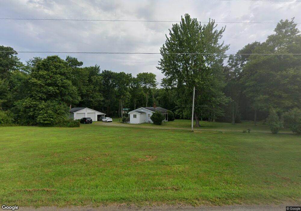
201 Browntown Rd Harrisville, PA 16038
Mercer Township NeighborhoodEstimated Value: $115,000 - $204,000
3
Beds
2
Baths
1,332
Sq Ft
$122/Sq Ft
Est. Value
About This Home
This home is located at 201 Browntown Rd, Harrisville, PA 16038 and is currently estimated at $162,829, approximately $122 per square foot. 201 Browntown Rd is a home located in Butler County with nearby schools including Slippery Rock Area High School.
Ownership History
Date
Name
Owned For
Owner Type
Purchase Details
Closed on
Jan 15, 2009
Sold by
Sec Housing & Urban Devel
Bought by
Baker Howard G
Current Estimated Value
Purchase Details
Closed on
Sep 16, 2003
Sold by
Hildebrandt Donna
Bought by
Dougherty Matthew
Home Financials for this Owner
Home Financials are based on the most recent Mortgage that was taken out on this home.
Original Mortgage
$122,277
Interest Rate
6.22%
Mortgage Type
New Conventional
Purchase Details
Closed on
Feb 19, 1999
Sold by
Hildebrandt William A
Bought by
Hildebrandt Donna L
Home Financials for this Owner
Home Financials are based on the most recent Mortgage that was taken out on this home.
Original Mortgage
$79,000
Interest Rate
6.78%
Mortgage Type
Purchase Money Mortgage
Create a Home Valuation Report for This Property
The Home Valuation Report is an in-depth analysis detailing your home's value as well as a comparison with similar homes in the area
Home Values in the Area
Average Home Value in this Area
Purchase History
| Date | Buyer | Sale Price | Title Company |
|---|---|---|---|
| Baker Howard G | $67,500 | -- | |
| Dougherty Matthew | $124,200 | -- | |
| Hildebrandt Donna L | -- | -- |
Source: Public Records
Mortgage History
| Date | Status | Borrower | Loan Amount |
|---|---|---|---|
| Previous Owner | Dougherty Matthew | $122,277 | |
| Previous Owner | Hildebrandt Donna L | $79,000 |
Source: Public Records
Tax History Compared to Growth
Tax History
| Year | Tax Paid | Tax Assessment Tax Assessment Total Assessment is a certain percentage of the fair market value that is determined by local assessors to be the total taxable value of land and additions on the property. | Land | Improvement |
|---|---|---|---|---|
| 2025 | $2,923 | $20,130 | $1,040 | $19,090 |
| 2024 | $2,808 | $20,130 | $1,040 | $19,090 |
| 2023 | $2,757 | $20,130 | $1,040 | $19,090 |
| 2022 | $2,697 | $20,130 | $1,040 | $19,090 |
| 2021 | $2,697 | $20,130 | $0 | $0 |
| 2020 | $2,697 | $20,130 | $1,040 | $19,090 |
| 2019 | $2,658 | $20,130 | $1,040 | $19,090 |
| 2018 | $2,658 | $20,130 | $1,040 | $19,090 |
| 2017 | $2,638 | $20,130 | $1,040 | $19,090 |
| 2016 | $769 | $20,130 | $1,040 | $19,090 |
| 2015 | $408 | $20,130 | $1,040 | $19,090 |
| 2014 | $408 | $20,130 | $1,040 | $19,090 |
Source: Public Records
Map
Nearby Homes
- 117 Saloom Ln
- 0 Browntown Rd
- 216 Edna St
- 0 Frampton Rd Unit 1707752
- 224 Boyers Rd
- 0 Camp Ground Rd
- 88 Fleming Rd
- --- Pink Rd
- 594 E Main Street Extension
- *** Airport Rd
- Lot Camp Ground Rd
- 573 E Main St Extension
- 15 Willow Ln
- 34 Westminster Place
- 554 E Main Street Extension
- 17 Forest Glen Dr
- 67 Hummel Blvd
- 727 Terrace Ave
- Lot #1 Barkeyville Rd
- 716 Terrace Ave
- 108 Saloom Ln
- 141 Browntown Rd
- 111 Saloom Ln
- 213 Browntown Rd
- 115 Greenway Ln
- 217 Browntown Rd
- 219 Browntown Rd
- 210 Browntown Rd
- 223 Browntown Rd
- 133 Browntown Rd
- 225 Browntown Rd
- 125 Greenway Ln
- 129 Browntown Rd
- 224 Browntown Rd
- 218 Browntown Rd
- 227 Browntown Rd
- 125 Browntown Rd
- 245 Browntown Rd
- 118 Browntown Rd
- 117 Browntown Rd