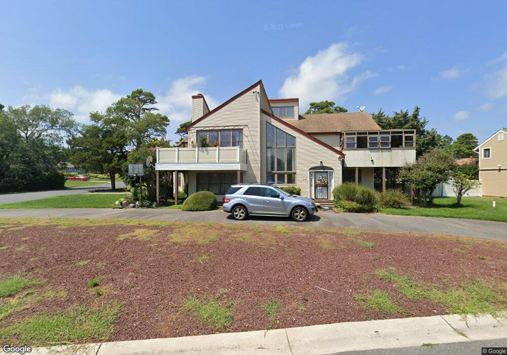
201 Burning Tree Blvd Absecon, NJ 08201
Estimated Value: $626,131 - $695,000
Studio
--
Bath
3,827
Sq Ft
$173/Sq Ft
Est. Value
About This Home
This home is located at 201 Burning Tree Blvd, Absecon, NJ 08201 and is currently estimated at $661,783, approximately $172 per square foot. 201 Burning Tree Blvd is a home located in Atlantic County with nearby schools including H. Ashton Marsh Elementary School, Emma C. Attales Middle School, and Life Point Academy/ Life Point Church.
Ownership History
Date
Name
Owned For
Owner Type
Purchase Details
Closed on
Sep 11, 2007
Sold by
King Lin Chung
Bought by
Huynh Phan Thi Kim
Current Estimated Value
Home Financials for this Owner
Home Financials are based on the most recent Mortgage that was taken out on this home.
Original Mortgage
$392,000
Interest Rate
6.65%
Mortgage Type
Purchase Money Mortgage
Purchase Details
Closed on
Dec 14, 1994
Sold by
Farber Saul W and Farber Lois R
Bought by
King Lin Chung
Create a Home Valuation Report for This Property
The Home Valuation Report is an in-depth analysis detailing your home's value as well as a comparison with similar homes in the area
Home Values in the Area
Average Home Value in this Area
Purchase History
| Date | Buyer | Sale Price | Title Company |
|---|---|---|---|
| Huynh Phan Thi Kim | $490,000 | Congress Title | |
| King Lin Chung | $229,500 | Commonwealth Land Title Ins |
Source: Public Records
Mortgage History
| Date | Status | Borrower | Loan Amount |
|---|---|---|---|
| Closed | Huynh Phan Thi Kim | $392,000 |
Source: Public Records
Tax History
| Year | Tax Paid | Tax Assessment Tax Assessment Total Assessment is a certain percentage of the fair market value that is determined by local assessors to be the total taxable value of land and additions on the property. | Land | Improvement |
|---|---|---|---|---|
| 2025 | $11,741 | $350,900 | $112,400 | $238,500 |
| 2024 | $11,741 | $350,900 | $112,400 | $238,500 |
Source: Public Records
Map
Nearby Homes
- 202 Burning Tree Blvd
- 36 E Lee Ave
- 172 E Faunce Landing Rd
- 40 N Shore Rd
- 194 N Shore Rd
- 15 W Bolton Ave
- 1513 Ocean Ave
- 1508 7th Ave
- 1427 Ocean Ave
- 107 W Church St
- 175 New Jersey Ave
- 1403 N Franklin Blvd
- 1416 N Main St
- 11 Lisbon Ave
- 161 E Wyoming Ave
- 399 Pitney Rd
- 411 Montclair Dr
- 236 E Wyoming Ave
- 14 Kesler Ave
- 720 S New Rd Unit 2M
- 202 Cynwyd Dr
- 203 Burning Tree Blvd
- 204 Cynwyd Dr
- 200 Burning Tree Blvd
- 106 Cynwyd Dr
- 273 Park Ave
- 280 Park Ave
- 205 Burning Tree Blvd
- 278 Park Ave
- 257 Park Ave
- 272 Park Ave
- 206 Cynwyd Dr
- 201 Cynwyd Dr
- 262 Park Ave
- 203 Cynwyd Dr
- 302 Park Ave
- 104 Cynwyd Dr
- 105 Cynwyd Dr
- 207 Burning Tree Blvd
- 205 Cynwyd Dr
Your Personal Tour Guide
Ask me questions while you tour the home.