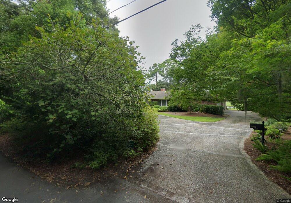
201 Butler Ave Saint Simons Island, GA 31522
Estimated Value: $2,104,101 - $2,416,000
4
Beds
4
Baths
4,198
Sq Ft
$546/Sq Ft
Est. Value
About This Home
This home is located at 201 Butler Ave, Saint Simons Island, GA 31522 and is currently estimated at $2,292,775, approximately $546 per square foot. 201 Butler Ave is a home located in Glynn County with nearby schools including St. Simons Elementary School, Glynn Middle School, and Glynn Academy.
Ownership History
Date
Name
Owned For
Owner Type
Purchase Details
Closed on
Nov 30, 2010
Sold by
201 Butler Llc
Bought by
Brannen Hoke S and Brannen Pamela P
Current Estimated Value
Purchase Details
Closed on
Jul 14, 2005
Sold by
Kane Catherine R
Bought by
201 Butler Llc
Purchase Details
Closed on
Jul 13, 2005
Sold by
Roberts Charles S
Bought by
201 Butler Llc
Purchase Details
Closed on
Jul 5, 2005
Sold by
Roberts Virginia L
Bought by
201 Butler Llc
Purchase Details
Closed on
Jun 23, 2005
Sold by
Roberts Susan M
Bought by
201 Butler Llc
Purchase Details
Closed on
Jun 30, 2001
Sold by
Roberts Marjorie A
Bought by
201 Butler Llc
Create a Home Valuation Report for This Property
The Home Valuation Report is an in-depth analysis detailing your home's value as well as a comparison with similar homes in the area
Home Values in the Area
Average Home Value in this Area
Purchase History
| Date | Buyer | Sale Price | Title Company |
|---|---|---|---|
| Brannen Hoke S | $780,000 | -- | |
| 201 Butler Llc | -- | -- | |
| 201 Butler Llc | -- | -- | |
| 201 Butler Llc | -- | -- | |
| 201 Butler Llc | -- | -- | |
| 201 Butler Llc | -- | -- | |
| Roberts Halsey G | -- | -- | |
| 201 Butler Llc | -- | -- |
Source: Public Records
Tax History Compared to Growth
Tax History
| Year | Tax Paid | Tax Assessment Tax Assessment Total Assessment is a certain percentage of the fair market value that is determined by local assessors to be the total taxable value of land and additions on the property. | Land | Improvement |
|---|---|---|---|---|
| 2025 | $20,621 | $822,240 | $479,520 | $342,720 |
| 2024 | $17,936 | $715,160 | $479,520 | $235,640 |
| 2023 | $7,425 | $946,560 | $719,280 | $227,280 |
| 2022 | $7,965 | $545,600 | $359,640 | $185,960 |
| 2021 | $3,062 | $422,920 | $239,760 | $183,160 |
| 2020 | $3,137 | $422,920 | $239,760 | $183,160 |
| 2019 | $3,121 | $319,040 | $135,880 | $183,160 |
| 2018 | $3,121 | $319,040 | $135,880 | $183,160 |
| 2017 | $3,121 | $319,040 | $135,880 | $183,160 |
| 2016 | $2,486 | $319,040 | $135,880 | $183,160 |
| 2015 | $2,486 | $319,040 | $135,880 | $183,160 |
| 2014 | $2,486 | $319,040 | $135,880 | $183,160 |
Source: Public Records
Map
Nearby Homes
- 108 Hamilton St
- 119 Florence St
- 1060 Village Oaks Ln
- 1035 Village Oaks Ln
- 400 Ocean Blvd Unit 2207
- 400 Ocean Blvd Unit 2100
- 400 Ocean Blvd Unit 2307
- 400 Ocean Blvd Unit 2306
- 1044 Village Oaks Ln
- 416 Magnolia Ave
- 424 Magnolia Ave Unit 6
- 425 Magnolia Ave Unit C
- 213 Magnolia Ave
- 548 Oglethorpe Ave Unit 11
- 533 Timmons St
- 536 Delegal St
- 553 Magnolia Ave
- 622 Beachview Dr
- 652 Oglethorpe Ave
- 625 May Joe St
- 205 Butler Ave
- 114 Gould St
- 110 Gould St
- 111 Wyley St
- 104 & 108 Gould St
- 108 Gould St
- 207 Butler Ave
- 109 Wyley(lot 135)
- 109 Wyley St
- 104 Gould St
- 214 Butler Ave
- 104 Richard Gould Ave
- 154 Gould St
- 105 Wyley(lot 136)
- 105 Wyley St
- 222 Butler Ave
- 103 Wyley St
- 111 Fraser St
- 111 Fraser St
- 0000 Goulds Branch Church Rd