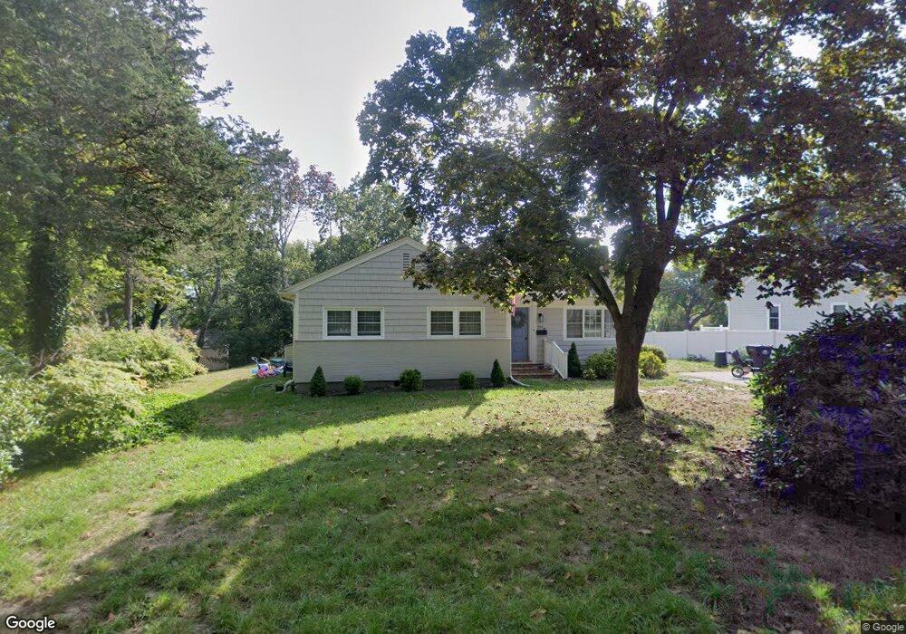
201 Captain Peirce Rd Scituate, MA 02066
Estimated Value: $644,000 - $825,000
3
Beds
1
Bath
1,146
Sq Ft
$631/Sq Ft
Est. Value
About This Home
This home is located at 201 Captain Peirce Rd, Scituate, MA 02066 and is currently estimated at $723,176, approximately $631 per square foot. 201 Captain Peirce Rd is a home located in Plymouth County with nearby schools including Cushing Elementary School, Lester J. Gates Middle School, and Scituate High School.
Ownership History
Date
Name
Owned For
Owner Type
Purchase Details
Closed on
Oct 19, 2021
Sold by
Thurlow Carole A Est
Bought by
Adams Christopher M and Cuddahy Lauren M
Current Estimated Value
Home Financials for this Owner
Home Financials are based on the most recent Mortgage that was taken out on this home.
Original Mortgage
$450,000
Outstanding Balance
$410,358
Interest Rate
2.8%
Mortgage Type
Purchase Money Mortgage
Estimated Equity
$312,818
Purchase Details
Closed on
Jan 1, 1971
Bought by
Thurlow Paul J and Thurlow Carole
Create a Home Valuation Report for This Property
The Home Valuation Report is an in-depth analysis detailing your home's value as well as a comparison with similar homes in the area
Home Values in the Area
Average Home Value in this Area
Purchase History
| Date | Buyer | Sale Price | Title Company |
|---|---|---|---|
| Adams Christopher M | $500,000 | None Available | |
| Thurlow Paul J | -- | -- |
Source: Public Records
Mortgage History
| Date | Status | Borrower | Loan Amount |
|---|---|---|---|
| Open | Adams Christopher M | $450,000 |
Source: Public Records
Tax History Compared to Growth
Tax History
| Year | Tax Paid | Tax Assessment Tax Assessment Total Assessment is a certain percentage of the fair market value that is determined by local assessors to be the total taxable value of land and additions on the property. | Land | Improvement |
|---|---|---|---|---|
| 2025 | $5,792 | $579,800 | $367,400 | $212,400 |
| 2024 | $5,617 | $542,200 | $334,000 | $208,200 |
| 2023 | $5,652 | $505,700 | $320,500 | $185,200 |
| 2022 | $5,652 | $447,900 | $287,200 | $160,700 |
| 2021 | $5,468 | $410,200 | $273,600 | $136,600 |
| 2020 | $5,231 | $387,500 | $263,000 | $124,500 |
| 2019 | $5,181 | $377,100 | $257,900 | $119,200 |
| 2018 | $4,977 | $356,800 | $259,200 | $97,600 |
| 2017 | $4,875 | $346,000 | $248,400 | $97,600 |
| 2016 | $4,588 | $324,500 | $226,800 | $97,700 |
| 2015 | $4,109 | $313,700 | $216,000 | $97,700 |
Source: Public Records
Map
Nearby Homes
- 14 Aberdeen Dr
- 112 Hollett St
- 9 Kyle Path
- 59 Captain Peirce Rd
- 11 Forest Ln
- 9 Forest Ln Unit 9
- 32 Fairview Ave
- 16 3 Ring Rd
- 54 Woodland Rd
- 84 Booth Hill Rd
- 8 Trudys Ln
- 26 Mordecai Lincoln Rd
- 2 Windward Ln
- 22 Kings Way
- 575 First Parish Rd
- 378 Tilden Rd
- 817 Country Way
- 7 Border St
- 29 Country Club Cir
- 392 S Main St
- 201 Captain Peirce Rd
- 203 Captain Peirce Rd
- 191 Captain Peirce Rd
- 204 Captain Peirce Rd
- 9 Blueberry Ln
- 209 Captain Peirce Rd
- 189 Captain Pierce Rd
- 196 Captain Pierce Rd
- 15 Blueberry Ln
- 187 Captain Pierce Rd
- 190 Captain Pierce Rd
- 8 Louise Ln
- 12 Louise Ln
- 73 Pratt Rd
- 210 Captain Peirce Rd
- 179 Captain Peirce Rd
- 79 Pratt Rd
- 50 Hatchet Rock Rd
- 8 Blueberry Ln
- 85 Pratt Rd