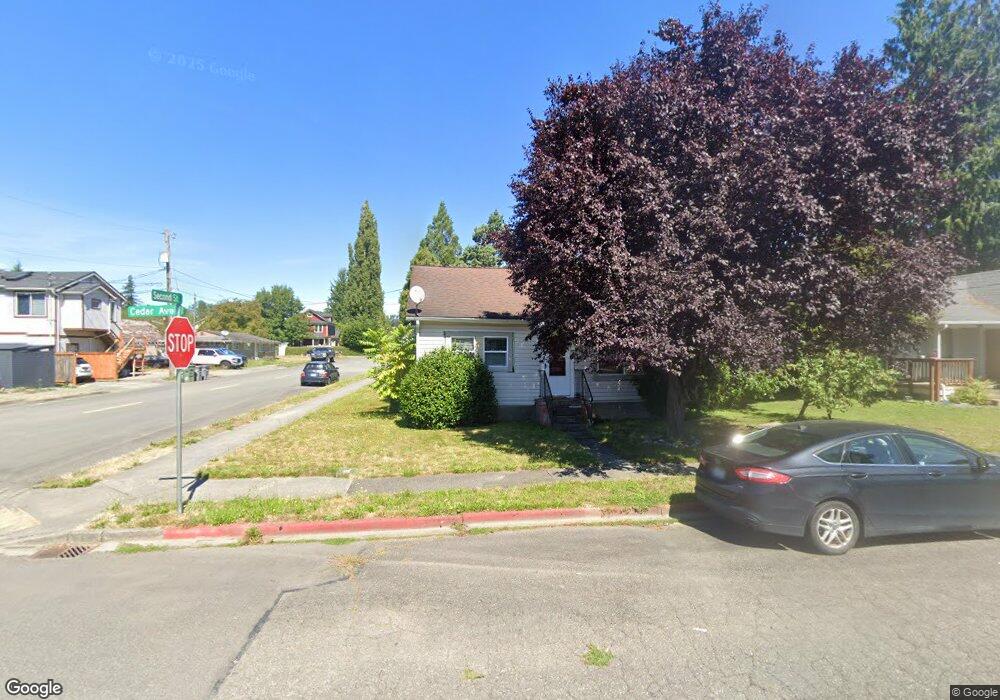
201 Cedar St Sultan, WA 98294
Estimated Value: $376,000 - $446,000
2
Beds
1
Bath
914
Sq Ft
$462/Sq Ft
Est. Value
About This Home
This home is located at 201 Cedar St, Sultan, WA 98294 and is currently estimated at $422,170, approximately $461 per square foot. 201 Cedar St is a home with nearby schools including Sultan Senior High School.
Ownership History
Date
Name
Owned For
Owner Type
Purchase Details
Closed on
May 2, 2005
Sold by
Allen Kip L and Stone Audrea M
Bought by
Percopo Michael A
Current Estimated Value
Home Financials for this Owner
Home Financials are based on the most recent Mortgage that was taken out on this home.
Original Mortgage
$122,000
Outstanding Balance
$63,779
Interest Rate
6.5%
Mortgage Type
New Conventional
Estimated Equity
$358,391
Purchase Details
Closed on
Jun 20, 1995
Sold by
Perry Annette C
Bought by
Allen Kip L and Stone Andrea M
Home Financials for this Owner
Home Financials are based on the most recent Mortgage that was taken out on this home.
Original Mortgage
$92,475
Interest Rate
7.92%
Mortgage Type
Assumption
Purchase Details
Closed on
May 26, 1995
Sold by
Perry Rex N and Perry Annette C
Bought by
Perry Annette C
Home Financials for this Owner
Home Financials are based on the most recent Mortgage that was taken out on this home.
Original Mortgage
$92,475
Interest Rate
7.92%
Mortgage Type
Assumption
Create a Home Valuation Report for This Property
The Home Valuation Report is an in-depth analysis detailing your home's value as well as a comparison with similar homes in the area
Home Values in the Area
Average Home Value in this Area
Purchase History
| Date | Buyer | Sale Price | Title Company |
|---|---|---|---|
| Percopo Michael A | $152,500 | Fidelity National Title | |
| Allen Kip L | $90,000 | -- | |
| Perry Annette C | -- | -- |
Source: Public Records
Mortgage History
| Date | Status | Borrower | Loan Amount |
|---|---|---|---|
| Open | Percopo Michael A | $122,000 | |
| Previous Owner | Allen Kip L | $92,475 | |
| Closed | Percopo Michael A | $30,500 |
Source: Public Records
Tax History
| Year | Tax Paid | Tax Assessment Tax Assessment Total Assessment is a certain percentage of the fair market value that is determined by local assessors to be the total taxable value of land and additions on the property. | Land | Improvement |
|---|---|---|---|---|
| 2026 | $3,091 | $353,600 | $236,000 | $117,600 |
| 2025 | $2,811 | $345,700 | $211,000 | $134,700 |
| 2024 | $2,811 | $317,300 | $191,000 | $126,300 |
| 2023 | $2,673 | $341,500 | $200,000 | $141,500 |
| 2022 | $2,424 | $265,900 | $153,000 | $112,900 |
| 2020 | $2,256 | $225,100 | $128,000 | $97,100 |
| 2019 | $1,924 | $199,500 | $108,000 | $91,500 |
| 2018 | $2,103 | $176,500 | $91,000 | $85,500 |
| 2017 | $1,615 | $134,300 | $79,000 | $55,300 |
| 2016 | $1,379 | $112,200 | $59,000 | $53,200 |
| 2015 | $1,157 | $88,100 | $43,000 | $45,100 |
| 2013 | $1,044 | $77,400 | $41,000 | $36,400 |
Source: Public Records
Map
Nearby Homes
- 204 Date Ave
- 111 Cedar Ave Unit 1
- 512 1st St
- 712 3rd St
- 307 8th St Unit 7
- 712 Alder St
- 512 Walnut Ave
- 212 Old Owen Rd Unit 59
- 212 Old Owen Rd Unit 43
- 13916 302nd Ave SE
- 202 Old Owen Rd
- 711 10th St
- 924 Merea Ln
- 31503 Us 2
- 1107 Loves Hill Dr
- 1105 Kessler Dr
- 0 138th St SE
- 907 Bryant Rd
- 1528 Gohr Rd
- 1122 Dyer Rd
Your Personal Tour Guide
Ask me questions while you tour the home.