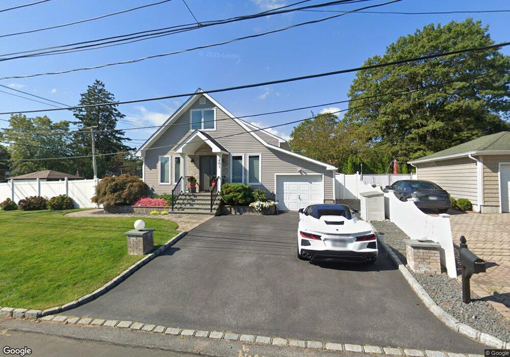
201 Centre Ave Lindenhurst, NY 11757
Estimated Value: $513,000 - $691,000
Studio
--
Bath
1,295
Sq Ft
$467/Sq Ft
Est. Value
About This Home
This home is located at 201 Centre Ave, Lindenhurst, NY 11757 and is currently estimated at $604,530, approximately $466 per square foot. 201 Centre Ave is a home located in Suffolk County with nearby schools including Daniel Street School, Lindenhurst Middle School, and Lindenhurst Senior High School.
Ownership History
Date
Name
Owned For
Owner Type
Purchase Details
Closed on
Mar 19, 2008
Current Estimated Value
Purchase Details
Closed on
Oct 29, 2007
Purchase Details
Closed on
Nov 8, 2006
Purchase Details
Closed on
Mar 28, 2003
Sold by
Our Saviour Church Housing Inc
Bought by
Frank Raymond P and Frank Christine
Home Financials for this Owner
Home Financials are based on the most recent Mortgage that was taken out on this home.
Original Mortgage
$55,670
Interest Rate
5.86%
Mortgage Type
Stand Alone Second
Purchase Details
Closed on
Oct 22, 2002
Sold by
Hud
Bought by
Our Saviour Church Housing Inc
Home Financials for this Owner
Home Financials are based on the most recent Mortgage that was taken out on this home.
Original Mortgage
$200,000
Interest Rate
6.07%
Mortgage Type
Stand Alone First
Create a Home Valuation Report for This Property
The Home Valuation Report is an in-depth analysis detailing your home's value as well as a comparison with similar homes in the area
Home Values in the Area
Average Home Value in this Area
Purchase History
| Date | Buyer | Sale Price | Title Company |
|---|---|---|---|
| -- | $317,000 | -- | |
| -- | $500 | -- | |
| -- | -- | -- | |
| Frank Raymond P | $278,350 | Stewart Title Insurance Co | |
| Our Saviour Church Housing Inc | $216,900 | Stewart Title Insurance Co |
Source: Public Records
Mortgage History
| Date | Status | Borrower | Loan Amount |
|---|---|---|---|
| Previous Owner | Frank Raymond P | $55,670 | |
| Previous Owner | Frank Raymond P | $222,680 | |
| Previous Owner | Our Saviour Church Housing Inc | $200,000 |
Source: Public Records
Tax History
| Year | Tax Paid | Tax Assessment Tax Assessment Total Assessment is a certain percentage of the fair market value that is determined by local assessors to be the total taxable value of land and additions on the property. | Land | Improvement |
|---|---|---|---|---|
| 2024 | $10,870 | $3,220 | $210 | $3,010 |
| 2023 | $9,745 | $3,220 | $210 | $3,010 |
| 2022 | $8,358 | $3,220 | $210 | $3,010 |
| 2021 | $8,358 | $3,220 | $210 | $3,010 |
| 2020 | $8,778 | $3,220 | $210 | $3,010 |
| 2019 | $9,773 | $0 | $0 | $0 |
| 2018 | $8,258 | $3,220 | $210 | $3,010 |
| 2017 | $8,258 | $3,220 | $210 | $3,010 |
| 2016 | $8,301 | $3,220 | $210 | $3,010 |
| 2015 | -- | $3,220 | $210 | $3,010 |
| 2014 | -- | $3,220 | $210 | $3,010 |
Source: Public Records
Map
Nearby Homes
- 323 Grand Ave
- 41 N Kings Ave
- 436 N Ontario Ave
- 417 N Monroe Ave
- 475 N Putnam Ave
- 361 Nevada St
- 247 N Greene Ave
- 261 E Hoffman Ave
- 792 Frankford Rd
- 244 N Erie Ave
- 248 Arnold Ave
- 792 Glendale Rd
- 285 Daniel St
- 455 N Hamilton Ave
- 136 N Delaware Ave
- 3 Cord Ave
- 303 Kansas St
- 117 Avenue B
- 551 Grand Ave
- 825 Weber Ave
Your Personal Tour Guide
Ask me questions while you tour the home.