201 Chestnut Tree Rd Elverson, PA 19520
West Nantmeal NeighborhoodEstimated Value: $632,000 - $1,162,517
3
Beds
3
Baths
2,368
Sq Ft
$356/Sq Ft
Est. Value
About This Home
This home is located at 201 Chestnut Tree Rd, Elverson, PA 19520 and is currently estimated at $844,129, approximately $356 per square foot. 201 Chestnut Tree Rd is a home located in Chester County with nearby schools including Twin Valley Elementary Center, Twin Valley Middle School, and Twin Valley High School.
Ownership History
Date
Name
Owned For
Owner Type
Purchase Details
Closed on
Nov 30, 2009
Sold by
Baker Brian C and Baker Zoe F
Bought by
Woody William and Sperrazza Leona
Current Estimated Value
Home Financials for this Owner
Home Financials are based on the most recent Mortgage that was taken out on this home.
Original Mortgage
$328,000
Outstanding Balance
$215,145
Interest Rate
5.01%
Mortgage Type
New Conventional
Estimated Equity
$628,984
Purchase Details
Closed on
Nov 27, 2002
Sold by
Baker Louis and Baker Roberta A
Bought by
Baker Brian C and Mulcahy Zoe F
Home Financials for this Owner
Home Financials are based on the most recent Mortgage that was taken out on this home.
Original Mortgage
$116,000
Interest Rate
6.02%
Create a Home Valuation Report for This Property
The Home Valuation Report is an in-depth analysis detailing your home's value as well as a comparison with similar homes in the area
Home Values in the Area
Average Home Value in this Area
Purchase History
| Date | Buyer | Sale Price | Title Company |
|---|---|---|---|
| Woody William | $410,000 | None Available | |
| Baker Brian C | $153,000 | -- |
Source: Public Records
Mortgage History
| Date | Status | Borrower | Loan Amount |
|---|---|---|---|
| Open | Woody William | $328,000 | |
| Previous Owner | Baker Brian C | $116,000 |
Source: Public Records
Tax History Compared to Growth
Tax History
| Year | Tax Paid | Tax Assessment Tax Assessment Total Assessment is a certain percentage of the fair market value that is determined by local assessors to be the total taxable value of land and additions on the property. | Land | Improvement |
|---|---|---|---|---|
| 2025 | $6,899 | $364,580 | $184,430 | $180,150 |
| 2024 | $6,899 | $364,580 | $184,430 | $180,150 |
| 2023 | $6,739 | $182,830 | $2,680 | $180,150 |
| 2022 | $6,664 | $364,580 | $184,430 | $180,150 |
| 2021 | $6,465 | $364,580 | $184,430 | $180,150 |
| 2020 | $6,432 | $364,580 | $184,430 | $180,150 |
| 2019 | $6,305 | $364,580 | $184,430 | $180,150 |
| 2018 | $6,305 | $364,580 | $184,430 | $180,150 |
| 2017 | $6,155 | $364,580 | $184,430 | $180,150 |
| 2016 | $3,946 | $364,580 | $184,430 | $180,150 |
| 2015 | $3,946 | $364,580 | $184,430 | $180,150 |
| 2014 | $3,946 | $364,580 | $184,430 | $180,150 |
Source: Public Records
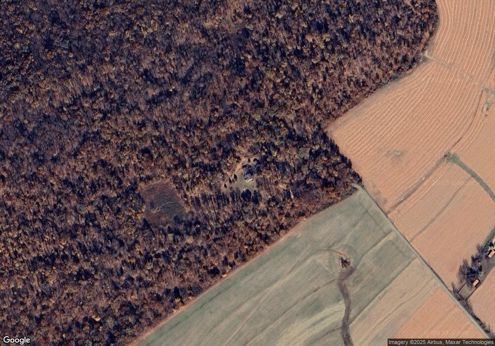
Map
Nearby Homes
- 281 Merwood Dr
- 8 Parkside Dr
- 619 Homestead Dr
- 222 Merwood Dr
- 214 Merwood Dr
- 219 S Pine St
- 1 Senn Ln
- 52 W Main St
- 0 Heritage Dr Unit 4A PABK2058798
- 19 W Main St
- 85 Bollinger Rd
- 28 W Main St
- 242 Steeplechase Dr
- 59 E Main St
- 7 Horseshoe Dr
- 10 Woods Rd
- 600 Country Ln
- 44 Wexford Ct
- 24 Wexford Ct
- 102 Country Ln
- 215 Beam Rd
- 347 N Manor Rd
- 222 Beam Rd
- 394 S Twin Valley Rd
- 31 Goodfellow Rd
- 400 S Twin Valley Rd
- 390 S Twin Valley Rd
- 321 N Manor Rd
- 344 N Manor Rd
- 346 N Manor Rd
- 437 S Twin Valley Rd
- 362 N Manor Rd
- 380 S Twin Valley Rd
- 368 N Manor Rd
- 229 Beam Rd
- 467 S Twin Valley Rd
- 372 S Twin Valley Rd
- 11 Goodfellow Rd
- 328 S Twin Valley Rd
- 334 S Twin Valley Rd