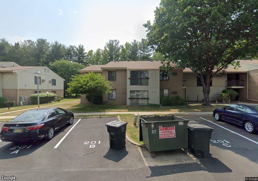
201 Covered Bridge Blvd Unit J Manalapan, NJ 07726
Estimated Value: $248,000 - $291,000
2
Beds
1
Bath
1,130
Sq Ft
$242/Sq Ft
Est. Value
About This Home
This home is located at 201 Covered Bridge Blvd Unit J, Manalapan, NJ 07726 and is currently estimated at $273,328, approximately $241 per square foot. 201 Covered Bridge Blvd Unit J is a home located in Monmouth County with nearby schools including Milford Brook Elementary School, Pine Brook Elementary School, and Manalapan-Englishtown Middle School.
Ownership History
Date
Name
Owned For
Owner Type
Purchase Details
Closed on
May 1, 2008
Sold by
Cooper Mannie and Cooper Elaine
Bought by
Mcateer Doriann
Current Estimated Value
Home Financials for this Owner
Home Financials are based on the most recent Mortgage that was taken out on this home.
Original Mortgage
$97,600
Interest Rate
6.41%
Mortgage Type
Purchase Money Mortgage
Create a Home Valuation Report for This Property
The Home Valuation Report is an in-depth analysis detailing your home's value as well as a comparison with similar homes in the area
Home Values in the Area
Average Home Value in this Area
Purchase History
| Date | Buyer | Sale Price | Title Company |
|---|---|---|---|
| Mcateer Doriann | $122,000 | Chicago Title Insurance Co |
Source: Public Records
Mortgage History
| Date | Status | Borrower | Loan Amount |
|---|---|---|---|
| Previous Owner | Mcateer Doriann | $97,600 |
Source: Public Records
Tax History Compared to Growth
Tax History
| Year | Tax Paid | Tax Assessment Tax Assessment Total Assessment is a certain percentage of the fair market value that is determined by local assessors to be the total taxable value of land and additions on the property. | Land | Improvement |
|---|---|---|---|---|
| 2025 | $4,178 | $240,800 | $90,000 | $150,800 |
| 2024 | $3,634 | $247,500 | $115,000 | $132,500 |
| 2023 | $3,634 | $218,400 | $89,000 | $129,400 |
| 2022 | $3,189 | $202,200 | $79,000 | $123,200 |
| 2021 | $3,189 | $153,600 | $44,000 | $109,600 |
| 2020 | $3,059 | $149,000 | $40,000 | $109,000 |
| 2019 | $2,600 | $126,500 | $23,000 | $103,500 |
| 2018 | $2,516 | $121,700 | $23,000 | $98,700 |
| 2017 | $2,572 | $124,500 | $30,000 | $94,500 |
| 2016 | $2,585 | $126,600 | $25,000 | $101,600 |
| 2015 | $2,838 | $137,500 | $46,600 | $90,900 |
| 2014 | $2,073 | $97,800 | $18,000 | $79,800 |
Source: Public Records
Map
Nearby Homes
- 204 Covered Bridge Blvd Unit F
- 184 Cross Slope Ct
- 223 Medford Ct Unit A
- 224 Medford Ct Unit B
- 154 Cross Slope Ct Unit G
- 236 Medford Ct Unit G
- 148 Amberly Dr Unit J
- 162 Cross Slope Ct Unit K
- 229 Medford Ct Unit B
- 181 Arrowood Rd Unit D
- 167 Amberly Dr Unit H
- 86 Arrowood Rd Unit B
- 30 Meadow Green Cir Unit E
- 23 Eli Cir
- 21 Wickatunk Rd
- 29 Meadow Green Cir Unit A
- 84 Amberly Dr Unit J
- 1 Wickatunk Rd
- 306 Sunshine Ct
- 222 Ravenswood Rd
- 201 Covered Bridge Blvd Unit A
- 201 Covered Bridge Blvd Unit F
- 201 Covered Bridge Blvd Unit C
- 201 Covered Bridge Blvd Unit K
- 201 Covered Bridge Blvd Unit H
- 201 Covered Bridge Blvd Unit G
- 201 Covered Bridge Blvd Unit E
- 201 Covered Bridge Blvd Unit D
- 201 Covered Bridge Blvd Unit B
- 201 Covered Bridge Blvd Unit K
- 201 Covered Bridge Blvd
- 206 Covered Bridge Blvd Unit A
- 206 Covered Bridge Blvd Unit C
- 206 Covered Bridge Blvd Unit B
- 206 Covered Bridge Blvd Unit E
- 202 Covered Bridge Blvd Unit K
- 202 Covered Bridge Blvd Unit J
- 202 Covered Bridge Blvd Unit E
- 202 Covered Bridge Blvd Unit A
- 202 Covered Bridge Blvd Unit G