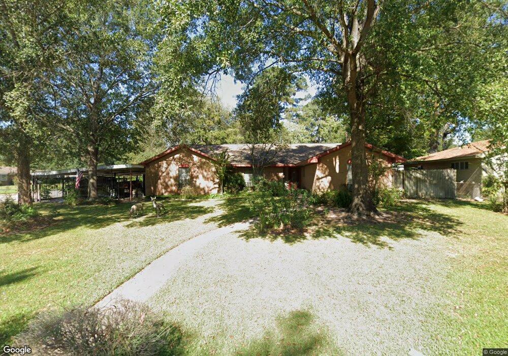
201 Cunningham Dr Lufkin, TX 75901
Estimated Value: $196,000 - $255,000
Studio
8
Baths
2,584
Sq Ft
$86/Sq Ft
Est. Value
About This Home
This home is located at 201 Cunningham Dr, Lufkin, TX 75901 and is currently estimated at $221,016, approximately $85 per square foot. 201 Cunningham Dr is a home located in Angelina County with nearby schools including Kurth Primary School, Anderson Elementary School, and Lufkin Middle School.
Ownership History
Date
Name
Owned For
Owner Type
Purchase Details
Closed on
Jan 21, 2022
Sold by
Loomer James L
Bought by
Brown Pamela Joy Loomer and Hillman Delinda Gail
Current Estimated Value
Purchase Details
Closed on
Apr 12, 2021
Sold by
Moss Chris and Moss Jeremy
Bought by
Bkf Rentals Llc
Purchase Details
Closed on
Apr 3, 2007
Sold by
Cranford Eneree and Cranford Patricia
Bought by
Deutsche Bank National Trust Co
Create a Home Valuation Report for This Property
The Home Valuation Report is an in-depth analysis detailing your home's value as well as a comparison with similar homes in the area
Purchase History
| Date | Buyer | Sale Price | Title Company |
|---|---|---|---|
| Brown Pamela Joy Loomer | -- | None Listed On Document | |
| Brown Jame Aaron | -- | None Listed On Document | |
| Bkf Rentals Llc | -- | Security & Guaranty Abstract | |
| Deutsche Bank National Trust Co | $110,500 | None Available |
Source: Public Records
Tax History
| Year | Tax Paid | Tax Assessment Tax Assessment Total Assessment is a certain percentage of the fair market value that is determined by local assessors to be the total taxable value of land and additions on the property. | Land | Improvement |
|---|---|---|---|---|
| 2025 | $3,848 | $184,130 | $16,620 | $167,510 |
| 2024 | $3,767 | $180,260 | $16,620 | $163,640 |
| 2023 | $3,531 | $177,690 | $16,620 | $161,070 |
| 2022 | $5,077 | $222,910 | $11,430 | $211,480 |
| 2021 | $4,405 | $178,810 | $11,430 | $167,380 |
| 2020 | $3,923 | $159,630 | $11,430 | $148,200 |
| 2019 | $4,149 | $159,630 | $11,430 | $148,200 |
| 2018 | $1,532 | $156,400 | $11,430 | $144,970 |
| 2017 | $1,532 | $149,010 | $11,430 | $137,580 |
| 2016 | $3,456 | $144,950 | $11,430 | $133,520 |
| 2015 | $1,589 | $147,360 | $11,430 | $135,930 |
| 2014 | $1,589 | $128,390 | $11,430 | $116,960 |
Source: Public Records
Map
Nearby Homes
- 301 Cunningham Dr
- 313 Hunters Creek Dr
- 1505 S Chestnut St Unit 1509
- 808 Cunningham Dr
- 509 Ward St
- 609 Willow Bend Dr
- 606 Englewood Dr
- 602 Willow Bend Dr
- 1709 Bennie St
- 619 Shadywood Dr
- 1302 Myrna Ave
- 115 Ward St
- 414 Ridgecrest St
- 1612 S Chestnut St
- 1611 Lilac Ave
- 2000 Cunningham Dr
- 2410 Ford Chapel Rd
- 3626 Farm-To-market 841
- ID 13148,13149 Farm-To-market 841
- 416 Robin St
- 203 Cunningham Dr
- 2 Bostick Place
- 7 Bostick Place
- 205 Cunningham Dr
- 6 Bostick Place
- 102 Cunningham Dr
- 3 Bostick Place
- 100 Cunningham Dr
- 4 Bostick Place
- 1108 Mitchell Ave
- 1106 Mitchell Ave
- 1104 Mitchell Ave
- 1110 Mitchell Ave
- 1101 E Denman Ave
- 1102 Mitchell Ave
- 102 Englewood Dr
- 303 Cunningham Dr
- 1100 Mitchell Ave
- 300 Cunningham Dr
- 1109 E Denman Ave
Your Personal Tour Guide
Ask me questions while you tour the home.