201 Dairy Farm Rd Moncks Corner, SC 29461
Estimated Value: $352,000 - $561,799
--
Bed
--
Bath
1,698
Sq Ft
$252/Sq Ft
Est. Value
About This Home
This home is located at 201 Dairy Farm Rd, Moncks Corner, SC 29461 and is currently estimated at $427,200, approximately $251 per square foot. 201 Dairy Farm Rd is a home located in Berkeley County with nearby schools including Moncks Corner Elementary School, Berkeley Middle School, and Berkeley High School.
Ownership History
Date
Name
Owned For
Owner Type
Purchase Details
Closed on
Nov 14, 2024
Sold by
Gunnin Linda K
Bought by
Koester John H
Current Estimated Value
Purchase Details
Closed on
Sep 23, 2022
Sold by
Koester Mildred S
Bought by
Koester John H and Gunnin Linda K
Purchase Details
Closed on
Sep 17, 2014
Sold by
Campbell Jarrett R
Bought by
Campbell Norris and Campbell Betty Deloris
Create a Home Valuation Report for This Property
The Home Valuation Report is an in-depth analysis detailing your home's value as well as a comparison with similar homes in the area
Home Values in the Area
Average Home Value in this Area
Purchase History
| Date | Buyer | Sale Price | Title Company |
|---|---|---|---|
| Koester John H | -- | None Listed On Document | |
| Koester John H | -- | None Listed On Document | |
| Koester John H | -- | -- | |
| Campbell Norris | $2,000 | -- |
Source: Public Records
Tax History Compared to Growth
Tax History
| Year | Tax Paid | Tax Assessment Tax Assessment Total Assessment is a certain percentage of the fair market value that is determined by local assessors to be the total taxable value of land and additions on the property. | Land | Improvement |
|---|---|---|---|---|
| 2025 | $2,013 | $388,550 | $284,238 | $104,312 |
| 2024 | $5,673 | $16,294 | $11,998 | $4,296 |
| 2023 | $5,673 | $23,313 | $15,341 | $7,972 |
| 2022 | $1,889 | $20,273 | $13,949 | $6,324 |
| 2021 | $1,932 | $14,080 | $9,867 | $4,216 |
| 2020 | $1,954 | $14,083 | $9,867 | $4,216 |
| 2019 | $1,942 | $14,083 | $9,867 | $4,216 |
| 2018 | $1,757 | $12,206 | $7,894 | $4,312 |
| 2017 | $1,698 | $12,206 | $7,894 | $4,312 |
| 2016 | $1,735 | $12,200 | $7,890 | $4,310 |
| 2015 | $1,605 | $12,200 | $7,890 | $4,310 |
| 2014 | $1,562 | $12,200 | $7,890 | $4,310 |
| 2013 | -- | $12,200 | $7,890 | $4,310 |
Source: Public Records
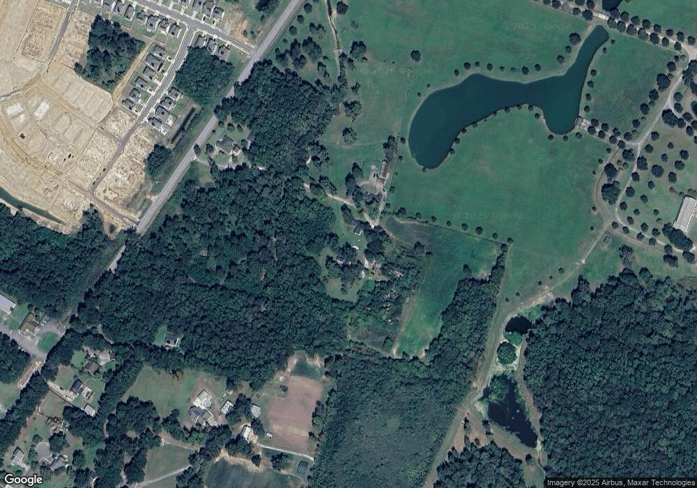
Map
Nearby Homes
- 1262 Old Highway 52
- 419 Grove End Rd
- 816 Alma Square Dr
- 411 Grove End Rd
- 825 Alma Square Dr
- 826 Alma Square Dr
- 819 Alma Square Dr
- 821 Alma Square Dr
- 818 Alma Square Dr
- 810 Alma Square Dr
- 817 Alma Square Dr
- 808 Alma Square Dr
- 813 Alma Square Dr
- 815 Alma Square Dr
- 823 Alma Square Dr
- 814 Alma Square Dr
- 822 Alma Square Dr
- Millstream Plan at Abbey Walk - Townhomes
- Meadowbrook Plan at Abbey Walk - Townhomes
- Broughton Plan at Abbey Walk - Single Family Homes
- 234 Dove Hill Dr
- 206 Dairy Farm Rd
- 1262 Old U S 52
- 1262 Old Hwy
- 0 Old Us Hwy Unit 2120484
- 0 Old Us Hwy Unit 2519409
- 0 Old Us Hwy Unit 2009021
- 0 Old Us Hwy Unit 2221276
- 0 Old Us Hwy Unit 2814842
- 0 Old Us Hwy Unit 1108669
- 1150 Old Highway 52
- 1288 Old Highway 52
- 197 Nicholas Rd
- 205 Grove End Rd
- 105 Abbey Terrace Rd
- 413 Grove End Rd
- 415 Grove End Rd
- 409 Grove End Rd
- 107 Abbey Terrace Rd
- 319 Grove End Rd