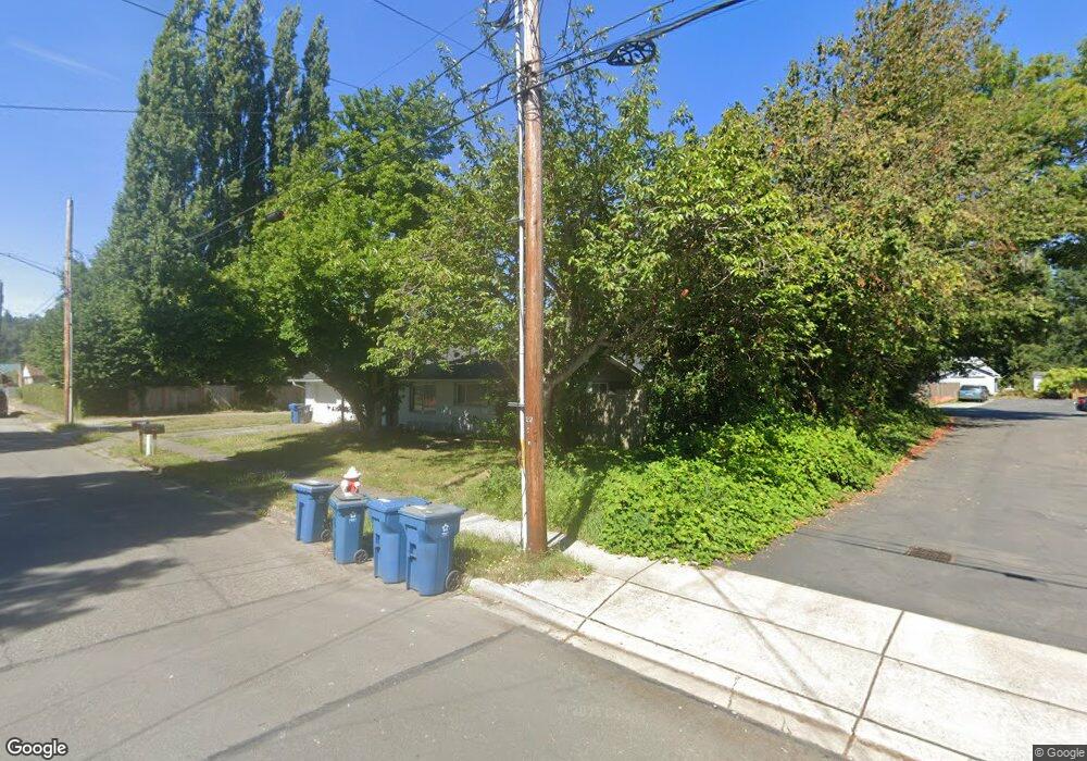
201 Date Ave Sultan, WA 98294
Estimated Value: $496,000 - $541,000
3
Beds
2
Baths
1,748
Sq Ft
$297/Sq Ft
Est. Value
About This Home
This home is located at 201 Date Ave, Sultan, WA 98294 and is currently estimated at $519,989, approximately $297 per square foot. 201 Date Ave is a home located in Snohomish County with nearby schools including Sultan Senior High School.
Ownership History
Date
Name
Owned For
Owner Type
Purchase Details
Closed on
Oct 24, 2011
Sold by
Union Bank Na
Bought by
Lucas James and Lucas Diane
Current Estimated Value
Purchase Details
Closed on
Aug 12, 2011
Sold by
Mcnaughton Gina Withers
Bought by
Union Bank Na
Purchase Details
Closed on
Oct 24, 2007
Sold by
Davis Jocelyn B
Bought by
Mcnaughton Gina W
Purchase Details
Closed on
Mar 21, 2005
Sold by
Karen Curnutt Dynasty Llc
Bought by
Davis Jocelyn B
Home Financials for this Owner
Home Financials are based on the most recent Mortgage that was taken out on this home.
Original Mortgage
$193,500
Interest Rate
6.37%
Mortgage Type
Purchase Money Mortgage
Purchase Details
Closed on
May 28, 2002
Sold by
Young Janet S
Bought by
Karen Curnutt Dynasty Llc
Create a Home Valuation Report for This Property
The Home Valuation Report is an in-depth analysis detailing your home's value as well as a comparison with similar homes in the area
Home Values in the Area
Average Home Value in this Area
Purchase History
| Date | Buyer | Sale Price | Title Company |
|---|---|---|---|
| Lucas James | $48,500 | Ticor | |
| Union Bank Na | $91,140 | None Available | |
| Mcnaughton Gina W | $209,000 | Accommodation | |
| Davis Jocelyn B | $215,000 | First American Title Ins Co | |
| Karen Curnutt Dynasty Llc | -- | Fidelity National Title |
Source: Public Records
Mortgage History
| Date | Status | Borrower | Loan Amount |
|---|---|---|---|
| Previous Owner | Davis Jocelyn B | $193,500 | |
| Closed | Davis Jocelyn B | $21,500 |
Source: Public Records
Tax History
| Year | Tax Paid | Tax Assessment Tax Assessment Total Assessment is a certain percentage of the fair market value that is determined by local assessors to be the total taxable value of land and additions on the property. | Land | Improvement |
|---|---|---|---|---|
| 2026 | $3,553 | $408,600 | $242,000 | $166,600 |
| 2025 | $3,343 | $397,400 | $217,000 | $180,400 |
| 2024 | $3,343 | $377,400 | $197,000 | $180,400 |
| 2023 | $2,762 | $352,800 | $206,000 | $146,800 |
| 2022 | $2,497 | $273,900 | $155,000 | $118,900 |
| 2020 | $2,103 | $209,800 | $130,000 | $79,800 |
| 2019 | $1,804 | $187,100 | $110,000 | $77,100 |
| 2018 | $1,963 | $164,800 | $93,000 | $71,800 |
| 2017 | $2,206 | $183,400 | $82,000 | $101,400 |
| 2016 | $1,960 | $159,400 | $62,000 | $97,400 |
| 2015 | $1,839 | $140,100 | $46,000 | $94,100 |
| 2013 | $1,747 | $129,500 | $42,000 | $87,500 |
Source: Public Records
Map
Nearby Homes
- 204 Date Ave
- 111 Cedar Ave Unit 1
- 512 1st St
- 712 3rd St
- 307 8th St Unit 7
- 712 Alder St
- 512 Walnut Ave
- 212 Old Owen Rd Unit 59
- 212 Old Owen Rd Unit 43
- 13916 302nd Ave SE
- 202 Old Owen Rd
- 711 10th St
- 31503 Us 2
- 924 Merea Ln
- 1107 Loves Hill Dr
- 1105 Kessler Dr
- 907 Bryant Rd
- 0 138th St SE
- 1528 Gohr Rd
- 12933 Trout Farm Rd
Your Personal Tour Guide
Ask me questions while you tour the home.