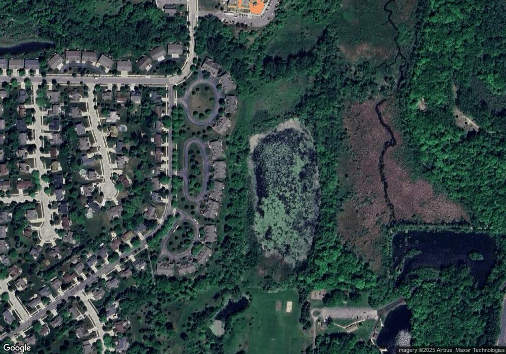
201 Deer Ridge Dr West Bend, WI 53095
Estimated Value: $450,000 - $528,000
4
Beds
3
Baths
3,438
Sq Ft
$141/Sq Ft
Est. Value
About This Home
This home is located at 201 Deer Ridge Dr, West Bend, WI 53095 and is currently estimated at $485,915, approximately $141 per square foot. 201 Deer Ridge Dr is a home located in Washington County with nearby schools including McLane Elementary School, Silverbrook Intermediate School, and East High School.
Ownership History
Date
Name
Owned For
Owner Type
Purchase Details
Closed on
May 5, 2017
Sold by
Milich Robert and Milich Pamela J
Bought by
Funk Thomas G and Keuck Patricia R
Current Estimated Value
Home Financials for this Owner
Home Financials are based on the most recent Mortgage that was taken out on this home.
Original Mortgage
$280,000
Outstanding Balance
$212,433
Interest Rate
1.25%
Mortgage Type
Adjustable Rate Mortgage/ARM
Estimated Equity
$273,482
Purchase Details
Closed on
Mar 7, 2008
Sold by
Nelson Susan K and Nelson Blackely Susan
Bought by
Millch Robert and Millch Pamela J
Create a Home Valuation Report for This Property
The Home Valuation Report is an in-depth analysis detailing your home's value as well as a comparison with similar homes in the area
Home Values in the Area
Average Home Value in this Area
Purchase History
| Date | Buyer | Sale Price | Title Company |
|---|---|---|---|
| Funk Thomas G | $365,000 | None Available | |
| Millch Robert | $300,000 | None Available |
Source: Public Records
Mortgage History
| Date | Status | Borrower | Loan Amount |
|---|---|---|---|
| Open | Funk Thomas G | $280,000 |
Source: Public Records
Tax History Compared to Growth
Tax History
| Year | Tax Paid | Tax Assessment Tax Assessment Total Assessment is a certain percentage of the fair market value that is determined by local assessors to be the total taxable value of land and additions on the property. | Land | Improvement |
|---|---|---|---|---|
| 2024 | $5,907 | $450,600 | $55,000 | $395,600 |
| 2023 | $5,262 | $322,500 | $40,000 | $282,500 |
| 2022 | $5,726 | $322,500 | $40,000 | $282,500 |
| 2021 | $5,858 | $321,000 | $40,000 | $281,000 |
| 2020 | $5,738 | $321,000 | $40,000 | $281,000 |
| 2019 | $5,559 | $321,000 | $40,000 | $281,000 |
| 2018 | $5,391 | $321,000 | $40,000 | $281,000 |
| 2017 | $4,213 | $227,000 | $40,000 | $187,000 |
| 2016 | $4,240 | $227,000 | $40,000 | $187,000 |
| 2015 | $4,226 | $227,000 | $40,000 | $187,000 |
| 2014 | $4,318 | $227,000 | $40,000 | $187,000 |
| 2013 | $4,667 | $227,000 | $40,000 | $187,000 |
Source: Public Records
Map
Nearby Homes
- 125 N University Dr Unit 220
- 125 N University Dr Unit 314
- 2346 W Washington St
- 4000 W Washington St
- 810 Rockingham Ct Unit D
- 2106 Chestnut St
- 1925 Hilltop Dr
- 625 Westridge Dr Unit 2
- 3316 Mediterranean Ave
- 3218 Windsor Place
- 707 Tamarack Dr E
- 1103 Squire Ln
- 2124 Willowbrook Dr
- 2110 Hollow Cir
- 213 S 15th Ave
- 1370 Chestnut St
- 2606 Park Forest Dr
- 653 S 15th Ave
- 5880 Scenic Dr
- 260 S Silverbrook Dr
- 203 Deer Ridge Dr
- 123 Deer Ridge Dr
- 205 Deer Ridge Dr
- 121 Deer Ridge Dr
- 121 Deer Ridge Dr Unit B2-A
- 119 Deer Ridge Dr
- 117 Deer Ridge Dr
- 209 Deer Ridge Dr
- 211 Deer Ridge Dr
- 214 Deer Ridge Dr
- 220 Deer Ridge Dr
- 208 Deer Ridge Dr
- 213 Deer Ridge Dr
- 113 Deer Ridge Dr
- 224 Deer Ridge Dr
- 200 Deer Ridge Dr
- 215 Deer Ridge Dr
- 124 Deer Ridge Dr
- 301 Deer Ridge Dr
- 111 Deer Ridge Dr
