201 Deerridge Rd Sarver, PA 16055
Estimated Value: $376,000 - $587,806
4
Beds
3
Baths
2,360
Sq Ft
$206/Sq Ft
Est. Value
About This Home
This home is located at 201 Deerridge Rd, Sarver, PA 16055 and is currently estimated at $485,935, approximately $205 per square foot. 201 Deerridge Rd is a home with nearby schools including South Buffalo Elementary School and Freeport Area Senior High School.
Ownership History
Date
Name
Owned For
Owner Type
Purchase Details
Closed on
Sep 3, 2020
Sold by
Vantine Laurie W
Bought by
Vantine Laurie W and Vantine Van Tine
Current Estimated Value
Purchase Details
Closed on
Apr 22, 1988
Create a Home Valuation Report for This Property
The Home Valuation Report is an in-depth analysis detailing your home's value as well as a comparison with similar homes in the area
Home Values in the Area
Average Home Value in this Area
Purchase History
| Date | Buyer | Sale Price | Title Company |
|---|---|---|---|
| Vantine Laurie W | -- | None Available | |
| -- | $30,000 | -- |
Source: Public Records
Tax History
| Year | Tax Paid | Tax Assessment Tax Assessment Total Assessment is a certain percentage of the fair market value that is determined by local assessors to be the total taxable value of land and additions on the property. | Land | Improvement |
|---|---|---|---|---|
| 2025 | $11,144 | $121,750 | $65,790 | $55,960 |
| 2024 | $11,166 | $121,750 | $65,790 | $55,960 |
| 2023 | $7,302 | $121,750 | $65,790 | $55,960 |
| 2022 | $7,302 | $121,750 | $65,790 | $55,960 |
| 2021 | $7,173 | $121,750 | $65,790 | $55,960 |
| 2020 | $7,173 | $121,750 | $65,790 | $55,960 |
| 2019 | $7,020 | $121,750 | $65,790 | $55,960 |
| 2018 | $7,020 | $93,990 | $14,050 | $79,940 |
| 2017 | $6,936 | $121,750 | $65,790 | $55,960 |
| 2016 | $6,742 | $121,750 | $65,790 | $55,960 |
| 2015 | $5,721 | $121,750 | $65,790 | $55,960 |
| 2014 | $5,721 | $121,750 | $65,790 | $55,960 |
Source: Public Records
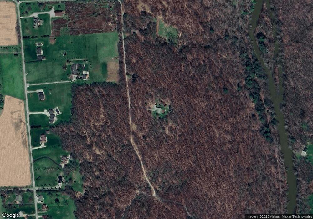
Map
Nearby Homes
- 218 Prairie Ct
- 129 Ridgecrest Dr
- 142 Community Park Rd
- 586 Sterling Dr
- 178 Washington St
- 542 Franklin St
- 1261 Sandy Ridge Dr
- 321 2nd St
- 1132 Sandy Ridge Dr
- 1281 Sandy Ridge Dr
- Lot #2 Woodhaven Dr
- Lot #1 Woodhaven Dr
- 1254 Sandy Ridge Dr
- 110 RR Kiski Camp Dr
- Lot 2R Parker Rd
- 102 Bristlecone Ct
- 101 Julia Rd
- 415 Monroe Rd
- 1967 State Route 356
- 221 Summit Dr
- 301 Deerridge Rd
- 401 Deerridge Rd
- 501 Deerridge Rd
- Lot 2 Deer Ridge Rd
- 236 Ralston Rd
- 101 Deerridge Rd
- 230 Ralston Rd
- 250 Ralston Rd
- 224 Ralston Rd
- 246 Ralston Rd
- 252 Ralston Rd
- 218 Ralston Rd
- 240 Ralston Rd
- 220 Ralston Rd
- 75 Deerridge Rd
- 81 Deerridge Rd
- 216 Ralston Rd
- 214 Ralston Rd
- 219 Ralston Rd
- 210 Ralston Rd
Your Personal Tour Guide
Ask me questions while you tour the home.