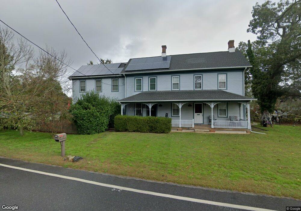
201 Dias Creek Rd Unit 2 Cape May Court House, NJ 08210
Estimated Value: $271,000 - $464,000
--
Bed
--
Bath
1,904
Sq Ft
$194/Sq Ft
Est. Value
About This Home
This home is located at 201 Dias Creek Rd Unit 2, Cape May Court House, NJ 08210 and is currently estimated at $369,966, approximately $194 per square foot. 201 Dias Creek Rd Unit 2 is a home located in Cape May County with nearby schools including Middle Township Elementary No. 1, Middle Township Elementary No. 2, and Middle Township Middle School.
Ownership History
Date
Name
Owned For
Owner Type
Purchase Details
Closed on
Jun 28, 2002
Sold by
Barth Family Llc
Bought by
Crowding Paul J
Current Estimated Value
Home Financials for this Owner
Home Financials are based on the most recent Mortgage that was taken out on this home.
Original Mortgage
$101,400
Outstanding Balance
$43,625
Interest Rate
6.92%
Estimated Equity
$326,341
Create a Home Valuation Report for This Property
The Home Valuation Report is an in-depth analysis detailing your home's value as well as a comparison with similar homes in the area
Home Values in the Area
Average Home Value in this Area
Purchase History
| Date | Buyer | Sale Price | Title Company |
|---|---|---|---|
| Crowding Paul J | $101,400 | -- |
Source: Public Records
Mortgage History
| Date | Status | Borrower | Loan Amount |
|---|---|---|---|
| Open | Crowding Paul J | $101,400 |
Source: Public Records
Tax History Compared to Growth
Tax History
| Year | Tax Paid | Tax Assessment Tax Assessment Total Assessment is a certain percentage of the fair market value that is determined by local assessors to be the total taxable value of land and additions on the property. | Land | Improvement |
|---|---|---|---|---|
| 2025 | $3,878 | $183,900 | $112,500 | $71,400 |
| 2024 | $3,878 | $183,900 | $112,500 | $71,400 |
| 2023 | $3,781 | $183,900 | $112,500 | $71,400 |
| 2022 | $3,672 | $183,900 | $112,500 | $71,400 |
| 2021 | $3,421 | $183,900 | $112,500 | $71,400 |
| 2020 | $3,511 | $183,900 | $112,500 | $71,400 |
| 2019 | $3,421 | $183,900 | $112,500 | $71,400 |
| 2018 | $3,367 | $183,900 | $112,500 | $71,400 |
| 2017 | $3,299 | $183,900 | $112,500 | $71,400 |
| 2016 | $3,216 | $183,900 | $112,500 | $71,400 |
| 2015 | $3,193 | $183,900 | $112,500 | $71,400 |
| 2014 | $3,172 | $183,900 | $112,500 | $71,400 |
Source: Public Records
Map
Nearby Homes
- 220 Hand Ave
- 212 Shunpike Rd
- 90 Wynndemere Ct
- 416 Hand Ave
- 310 Front St
- 215 S Boyd St
- 4 Railroad Ave
- 13 Poplar St
- 57 Wynndemere Ct
- 24 Church St
- 411 Dias Creek Rd
- 3 Buckingham Rd
- 8 Buckingham Rd
- 2 Buckingham Rd
- 5 Buckingham Rd
- 7 Buckingham Rd
- 506 Hand Ave
- 4 Darott Dr
- 144 Lee Ln Unit Front
- 47 Fishing Creek Rd
- 201 Dias Creek Rd Unit 1
- 321 Stites Ave
- 313 Stites Ave
- 307 Stites Ave
- 311 Stites Ave
- 312 Stites Ave
- 304 Stites Ave
- 302 Stites Ave
- 300 Stites Ave
- 205 Dias Creek Rd
- 202 Dias Creek Rd
- 107 Dias Creek Rd
- 204 Dias Creek Rd
- 306 Stites Ave
- 306 Stites Ave
- 315 Stites Ave
- 207 Shunpike Rd
- 103 Dias Creek Rd
- 305 Hand Ave
- 316 Stites Ave