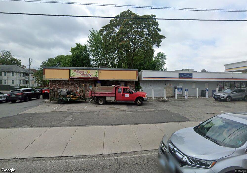
201 Division St Pawtucket, RI 02860
Quality Hill NeighborhoodEstimated Value: $376,866
Studio
--
Bath
1,200
Sq Ft
$314/Sq Ft
Est. Value
About This Home
This home is located at 201 Division St, Pawtucket, RI 02860 and is currently estimated at $376,866, approximately $314 per square foot. 201 Division St is a home located in Providence County with nearby schools including International Charter School, Blackstone Academy Charter School, and Saint Raphael Academy.
Ownership History
Date
Name
Owned For
Owner Type
Purchase Details
Closed on
Mar 18, 2014
Sold by
Jhvm Trading Ent Inc
Bought by
Panda Rt
Current Estimated Value
Home Financials for this Owner
Home Financials are based on the most recent Mortgage that was taken out on this home.
Original Mortgage
$40,000
Outstanding Balance
$30,206
Interest Rate
4.32%
Mortgage Type
Commercial
Estimated Equity
$346,660
Purchase Details
Closed on
Feb 17, 2012
Sold by
Nikou Stratis and Nikou
Bought by
Jvhm Trading Ent Inc
Create a Home Valuation Report for This Property
The Home Valuation Report is an in-depth analysis detailing your home's value as well as a comparison with similar homes in the area
Home Values in the Area
Average Home Value in this Area
Purchase History
| Date | Buyer | Sale Price | Title Company |
|---|---|---|---|
| Panda Rt | $150,000 | -- | |
| Panda Rt | $150,000 | -- | |
| Jvhm Trading Ent Inc | $100,000 | -- |
Source: Public Records
Mortgage History
| Date | Status | Borrower | Loan Amount |
|---|---|---|---|
| Open | Panda Rt | $40,000 | |
| Closed | Jvhm Trading Ent Inc | $40,000 | |
| Previous Owner | Jvhm Trading Ent Inc | $25,000 |
Source: Public Records
Tax History
| Year | Tax Paid | Tax Assessment Tax Assessment Total Assessment is a certain percentage of the fair market value that is determined by local assessors to be the total taxable value of land and additions on the property. | Land | Improvement |
|---|---|---|---|---|
| 2025 | $3,481 | $151,300 | $79,500 | $71,800 |
| 2024 | $3,268 | $151,300 | $79,500 | $71,800 |
| 2023 | $3,825 | $129,000 | $66,100 | $62,900 |
| 2022 | $3,744 | $129,000 | $66,100 | $62,900 |
| 2021 | $3,744 | $129,000 | $66,100 | $62,900 |
| 2020 | $4,905 | $142,300 | $66,100 | $76,200 |
| 2019 | $4,905 | $142,300 | $66,100 | $76,200 |
| 2018 | $4,726 | $142,300 | $66,100 | $76,200 |
| 2017 | $4,918 | $141,000 | $69,600 | $71,400 |
| 2016 | $4,739 | $141,000 | $69,600 | $71,400 |
| 2015 | $4,739 | $141,000 | $69,600 | $71,400 |
| 2014 | $4,984 | $161,400 | $75,600 | $85,800 |
Source: Public Records
Map
Nearby Homes
- 70 Brewster St
- 100 Pond St
- 146 S Bend St
- 36 Underwood St
- 23 Spring St
- 89 Armistice Blvd
- 10 Exchange Ct Unit 203
- 133 Cottage St
- 19 Wood St
- 333 School St Unit 109
- 44 Pawtucket Ave
- 150 N Bend St
- 48 Kossuth St
- 11 Crane St
- 345 Pleasant St
- 349 Pleasant St
- 33 Dover St
- 28 Bayley St Unit 107
- 153 Central Ave
- 45 Harrison St
- 205 Division St
- 17 Brewster St
- 15 Brewster St
- 21 Brewster St
- 21 Brewster St Unit 3
- 21 Brewster St Unit 2
- 219 Division St
- 223 Division St
- 22 Brewster St
- 128 Meadow St
- 187 Division St
- 114 Meadow St
- 122 Meadow St
- 122 Meadow St Unit 2
- 15 Norton St
- 188 Division St
- 188 Division St Unit FL 2
- 132 Meadow St
- 132 Meadow St Unit 2
- 110 Meadow St
Your Personal Tour Guide
Ask me questions while you tour the home.