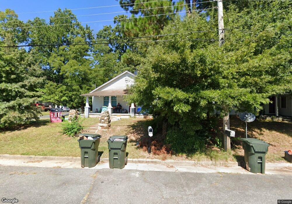
201 Dotson St Unit Lot 28 Rock Hill, SC 29732
Estimated Value: $214,000 - $308,000
3
Beds
1
Bath
1,276
Sq Ft
$202/Sq Ft
Est. Value
About This Home
This home is located at 201 Dotson St Unit Lot 28, Rock Hill, SC 29732 and is currently estimated at $258,185, approximately $202 per square foot. 201 Dotson St Unit Lot 28 is a home located in York County with nearby schools including Richmond Drive Elementary School, W.C. Sullivan Middle School, and South Pointe High School.
Ownership History
Date
Name
Owned For
Owner Type
Purchase Details
Closed on
Aug 14, 2024
Sold by
Sprouse James T and Sprouse Suzanne G
Bought by
Sprouse Joshua G
Current Estimated Value
Home Financials for this Owner
Home Financials are based on the most recent Mortgage that was taken out on this home.
Original Mortgage
$220,000
Outstanding Balance
$217,548
Interest Rate
6.95%
Mortgage Type
New Conventional
Estimated Equity
$40,637
Purchase Details
Closed on
Jan 18, 2002
Sold by
Barnes Arthur H
Bought by
Sprouse James T and Sprouse Suzanne G
Create a Home Valuation Report for This Property
The Home Valuation Report is an in-depth analysis detailing your home's value as well as a comparison with similar homes in the area
Home Values in the Area
Average Home Value in this Area
Purchase History
| Date | Buyer | Sale Price | Title Company |
|---|---|---|---|
| Sprouse Joshua G | $300,000 | None Listed On Document | |
| Sprouse James T | $45,000 | -- |
Source: Public Records
Mortgage History
| Date | Status | Borrower | Loan Amount |
|---|---|---|---|
| Open | Sprouse Joshua G | $220,000 |
Source: Public Records
Tax History Compared to Growth
Tax History
| Year | Tax Paid | Tax Assessment Tax Assessment Total Assessment is a certain percentage of the fair market value that is determined by local assessors to be the total taxable value of land and additions on the property. | Land | Improvement |
|---|---|---|---|---|
| 2024 | $1,909 | $4,313 | $1,075 | $3,238 |
| 2023 | $1,912 | $4,313 | $1,073 | $3,240 |
| 2022 | $1,822 | $4,313 | $1,073 | $3,240 |
| 2021 | -- | $4,313 | $1,073 | $3,240 |
| 2020 | $1,785 | $4,313 | $0 | $0 |
| 2019 | $1,592 | $3,750 | $0 | $0 |
| 2018 | $1,568 | $3,750 | $0 | $0 |
| 2017 | $1,514 | $3,750 | $0 | $0 |
| 2016 | $1,484 | $3,750 | $0 | $0 |
| 2014 | $1,480 | $3,750 | $1,080 | $2,670 |
| 2013 | $1,480 | $3,900 | $1,080 | $2,820 |
Source: Public Records
Map
Nearby Homes
- 1429 Alexander Rd
- 310 Berkeley Rd
- 1541 Ebenezer Rd
- 1270 Ebenezer Rd
- 1458 Constitution Blvd
- 1505 Clarendon Place
- 1545 Granville Rd
- 1246 India Hook Rd
- 1167 India Hook Rd
- 302 Ginsberg Rd
- 306 Ginsberg Rd
- 310 Ginsberg Rd
- Garland Plan at Allston
- Gable Plan at Allston
- 448 Berryman Rd
- 420 Bly St
- 651 Melville Dr
- 1051 Park Avenue Extension
- 274 Hancock Union Ln
- 1176 Constitution Park Blvd