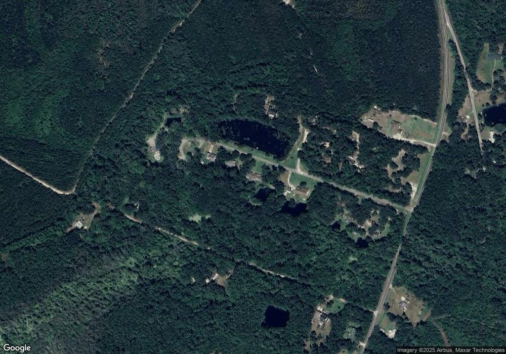
201 Douglas Dr Waverly, GA 31565
Estimated Value: $352,915 - $442,000
3
Beds
3
Baths
2,414
Sq Ft
$160/Sq Ft
Est. Value
About This Home
This home is located at 201 Douglas Dr, Waverly, GA 31565 and is currently estimated at $387,229, approximately $160 per square foot. 201 Douglas Dr is a home located in Camden County with nearby schools including Woodbine Elementary School, Camden Middle School, and Camden County High School.
Ownership History
Date
Name
Owned For
Owner Type
Purchase Details
Closed on
Mar 2, 2021
Sold by
Anderson Walkie H Estate
Bought by
Anderson Carolyn S
Current Estimated Value
Home Financials for this Owner
Home Financials are based on the most recent Mortgage that was taken out on this home.
Original Mortgage
$184,000
Outstanding Balance
$163,815
Interest Rate
2.7%
Mortgage Type
New Conventional
Estimated Equity
$223,414
Create a Home Valuation Report for This Property
The Home Valuation Report is an in-depth analysis detailing your home's value as well as a comparison with similar homes in the area
Purchase History
| Date | Buyer | Sale Price | Title Company |
|---|---|---|---|
| Anderson Carolyn S | $184,000 | -- |
Source: Public Records
Mortgage History
| Date | Status | Borrower | Loan Amount |
|---|---|---|---|
| Open | Anderson Carolyn S | $184,000 |
Source: Public Records
Tax History Compared to Growth
Tax History
| Year | Tax Paid | Tax Assessment Tax Assessment Total Assessment is a certain percentage of the fair market value that is determined by local assessors to be the total taxable value of land and additions on the property. | Land | Improvement |
|---|---|---|---|---|
| 2025 | $855 | $105,387 | $2,492 | $102,895 |
| 2024 | $893 | $105,387 | $2,492 | $102,895 |
| 2023 | $922 | $97,975 | $2,492 | $95,483 |
| 2022 | $907 | $91,388 | $2,492 | $88,896 |
| 2021 | $959 | $77,273 | $2,492 | $74,781 |
| 2020 | $986 | $71,806 | $2,492 | $69,314 |
| 2019 | $994 | $71,806 | $2,492 | $69,314 |
| 2018 | $893 | $71,806 | $2,492 | $69,314 |
| 2017 | $910 | $66,201 | $2,492 | $63,709 |
| 2016 | $892 | $60,719 | $2,492 | $58,227 |
| 2015 | $863 | $60,719 | $2,492 | $58,227 |
| 2014 | $873 | $63,211 | $4,984 | $58,227 |
Source: Public Records
Map
Nearby Homes
- 321 Harbour Island Cir
- 51 Bluffs Landing
- 0 US Hwy 17 Unit 10488619
- 0 US Hwy 17 Unit 159908
- V/L 102 Old Reserve Rd
- V/L 48 Sanctuary Cove None
- Spring Valley II Plan at The Estates of Sanctuary Cove
- Pinehurst II Plan at The Estates of Sanctuary Cove
- Roxboro Plan at The Estates of Sanctuary Cove
- Abbeyville Plan at The Estates of Sanctuary Cove
- Southport III Plan at The Estates of Sanctuary Cove
- Charleston II Plan at The Estates of Sanctuary Cove
- Stillwater Plan at The Estates of Sanctuary Cove
- 195 Ossabaw Way
- 0 Sanderling Trace Unit 1658452
- 0 Sanderling Trace Unit 1658674
- 0 Turtle Dove Way Unit 10439853
- LOT 1 Turtle Dove Way
- 0 Black Tern Way
- 73 Fairwinds Dr
- 231 Douglas Dr
- 255 Douglas Dr
- 181 Douglas Dr
- 377 Latrell Ln
- 115 Tatum Dr
- 32 Tatum Dr
- 317 Douglas Dr
- 67 Douglas Rd
- 0 Douglas Dr Unit 10 7447794
- 0 Douglas Dr Unit 6 7447784
- 67 Douglas Dr
- 6464 Dover Bluff Rd
- 377 Latrelle Ln
- 111 Harbour Island Cir
- 161 Harbour Island Cir
- 111 Harbour Island Cir
- 39 Douglas Dr
- 59 Latrell Ln
- 59 Latrelle Ln
- 2597 Springbluff Rd
