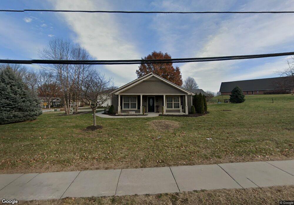
201 E 17th St Kearney, MO 64060
Estimated Value: $300,000 - $401,000
3
Beds
3
Baths
1,715
Sq Ft
$197/Sq Ft
Est. Value
About This Home
This home is located at 201 E 17th St, Kearney, MO 64060 and is currently estimated at $338,334, approximately $197 per square foot. 201 E 17th St is a home located in Clay County with nearby schools including Kearney Junior High School, Kearney High School, and Northern Hills Christian Academy.
Ownership History
Date
Name
Owned For
Owner Type
Purchase Details
Closed on
Jul 2, 2009
Sold by
King Clarence and King Norma Ann
Bought by
Fahrmeier Jeremy A and King Joy M
Current Estimated Value
Home Financials for this Owner
Home Financials are based on the most recent Mortgage that was taken out on this home.
Original Mortgage
$151,098
Interest Rate
4.84%
Mortgage Type
FHA
Purchase Details
Closed on
Feb 22, 2008
Sold by
Trimble James G and Trimble Lillie Craig
Bought by
King Clarence and King Norma Ann
Home Financials for this Owner
Home Financials are based on the most recent Mortgage that was taken out on this home.
Original Mortgage
$145,000
Interest Rate
5.88%
Mortgage Type
Construction
Purchase Details
Closed on
Jul 25, 2003
Sold by
Trimble James G and Trimble Lillie Craig
Bought by
Trimble James G and Trimble Lillie Craig
Create a Home Valuation Report for This Property
The Home Valuation Report is an in-depth analysis detailing your home's value as well as a comparison with similar homes in the area
Home Values in the Area
Average Home Value in this Area
Purchase History
| Date | Buyer | Sale Price | Title Company |
|---|---|---|---|
| Fahrmeier Jeremy A | -- | None Available | |
| King Clarence | -- | None Available | |
| Trimble James G | -- | -- |
Source: Public Records
Mortgage History
| Date | Status | Borrower | Loan Amount |
|---|---|---|---|
| Previous Owner | Fahrmeier Jeremy A | $151,098 | |
| Previous Owner | King Clarence | $145,000 |
Source: Public Records
Tax History
| Year | Tax Paid | Tax Assessment Tax Assessment Total Assessment is a certain percentage of the fair market value that is determined by local assessors to be the total taxable value of land and additions on the property. | Land | Improvement |
|---|---|---|---|---|
| 2025 | $2,698 | $43,450 | -- | -- |
| 2024 | $2,698 | $39,370 | -- | -- |
| 2023 | $2,689 | $39,370 | $0 | $0 |
| 2022 | $2,437 | $34,500 | $0 | $0 |
| 2021 | $2,389 | $34,504 | $4,750 | $29,754 |
| 2020 | $2,453 | $32,220 | $0 | $0 |
| 2019 | $2,440 | $32,220 | $0 | $0 |
Source: Public Records
Map
Nearby Homes
- 1404 Colony Dr
- 1304 S Jefferson St
- 1933 Meadowlane
- 1845 Falcon Ct
- 1901 Meadowlane
- 2001 Foxtail Point
- 200 E 20th Terrace
- 1505 Emerald Cir
- 1302 Regency Dr
- 1300 Robin Cir
- 2002 Foxtail Point
- 307 W 11th Terrace
- 1800 Patricia Dr
- 1104 Regency Dr
- 200 E 10th St
- 2119 Greenfield Point
- 2123 Greenfield Point
- 2121 Greenfield Point
- 623 E 13th St
- 204 E 22nd St
- 203 E 17th St
- 205 E 17th St
- 1724 Cambridge Cir
- 1726 Cambridge Cir
- 207 E 17th St
- 1615 S Jefferson St
- 202 E 17th St
- 1722 Cambridge Cir
- 1728 Cambridge Cir
- 204 E 17th St
- 206 E 17th St
- 209 E 17th St
- 1720 Cambridge Cir
- 1730 Cambridge Cir
- 208 E 17th St
- 211 E 17th St
- 210 E 17th St
- 1721 Cambridge Cir
- 1723 Cambridge Cir
- 1718 Cambridge Cir
Your Personal Tour Guide
Ask me questions while you tour the home.