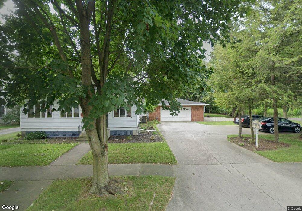
201 E Baird St West Liberty, OH 43357
Estimated Value: $210,000 - $266,000
3
Beds
2
Baths
1,867
Sq Ft
$125/Sq Ft
Est. Value
About This Home
This home is located at 201 E Baird St, West Liberty, OH 43357 and is currently estimated at $232,858, approximately $124 per square foot. 201 E Baird St is a home located in Logan County with nearby schools including West Liberty-Salem Elementary School and West Liberty-Salem Middle/High School.
Ownership History
Date
Name
Owned For
Owner Type
Purchase Details
Closed on
Jun 1, 2021
Sold by
Eckstein Emily K and Strapp Jeremy W
Bought by
Strapp Jonah R and Strapp Ginger
Current Estimated Value
Purchase Details
Closed on
Dec 9, 2019
Sold by
Latimer Marena
Bought by
Eckstein Emily K
Purchase Details
Closed on
Aug 29, 2007
Bought by
Latimer Marena K
Create a Home Valuation Report for This Property
The Home Valuation Report is an in-depth analysis detailing your home's value as well as a comparison with similar homes in the area
Home Values in the Area
Average Home Value in this Area
Purchase History
| Date | Buyer | Sale Price | Title Company |
|---|---|---|---|
| Strapp Jonah R | $171,320 | None Available | |
| Eckstein Emily K | -- | None Available | |
| Latimer Marena K | -- | -- |
Source: Public Records
Tax History Compared to Growth
Tax History
| Year | Tax Paid | Tax Assessment Tax Assessment Total Assessment is a certain percentage of the fair market value that is determined by local assessors to be the total taxable value of land and additions on the property. | Land | Improvement |
|---|---|---|---|---|
| 2024 | $2,193 | $54,710 | $7,180 | $47,530 |
| 2023 | $2,193 | $54,710 | $7,180 | $47,530 |
| 2022 | $2,196 | $45,590 | $5,980 | $39,610 |
| 2021 | $1,958 | $45,590 | $5,980 | $39,610 |
| 2020 | $1,962 | $44,300 | $4,970 | $39,330 |
| 2019 | $1,914 | $44,300 | $4,970 | $39,330 |
| 2018 | $1,845 | $44,300 | $4,970 | $39,330 |
| 2016 | $1,823 | $40,270 | $4,520 | $35,750 |
| 2014 | $1,449 | $40,270 | $4,520 | $35,750 |
| 2013 | $1,449 | $40,270 | $4,520 | $35,750 |
| 2012 | $1,449 | $37,390 | $4,660 | $32,730 |
Source: Public Records
Map
Nearby Homes
- 215 N Detroit St
- 116 E Newell St
- 308 Reynolds St
- 414 N Detroit St
- 512 W Columbus St
- 619 W Baird St
- 0 County Road 189
- . Co Rd 189
- 5714 Hickory Dr
- Lot 1 County Road 1
- 129 Tanglewood Dr
- 5197 County Road 1
- 7885 N Ludlow Rd
- 4164 County Road 1
- 4124 State Route 245 W
- 6404 Township Road 55
- Lot 3 County Road 1
- Lot 2 County Road 1
- Lot 1 County Road 1
- 4416 N US Highway 68
- 205 E Baird St
- 111 E Baird St
- 126 E Baird St
- 118 E Baird St
- 209 E Baird St
- 204 E Baird St
- 112 E Baird St
- 213 E Baird St
- 0 Ohio 245
- 117 S Detroit
- 105 N Detroit St
- 208 E Baird St
- 111 N Detroit St
- 101 N Detroit St
- 212 E Baird St
- 121 S Detroit St
- 117 N Detroit St
- 000000 Us Route 68
- 00 Us Route 68
- 6253 Us Route 68