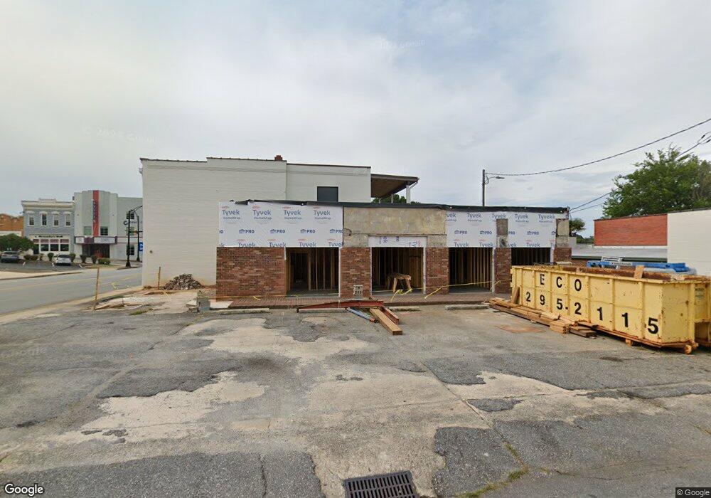
201 E Benson St Anderson, SC 29624
Estimated Value: $254,088
Studio
--
Bath
1,590
Sq Ft
$160/Sq Ft
Est. Value
About This Home
This home is located at 201 E Benson St, Anderson, SC 29624 and is currently priced at $254,088, approximately $159 per square foot. 201 E Benson St is a home located in Anderson County with nearby schools including Calhoun Academy of the Arts, McCants Middle School, and T.L. Hanna High School.
Ownership History
Date
Name
Owned For
Owner Type
Purchase Details
Closed on
Sep 25, 2017
Sold by
Acc Properties 1 Llc
Bought by
Mcduffie Street Properties Llc
Current Estimated Value
Home Financials for this Owner
Home Financials are based on the most recent Mortgage that was taken out on this home.
Original Mortgage
$135,000
Outstanding Balance
$111,067
Interest Rate
3.89%
Mortgage Type
Commercial
Purchase Details
Closed on
May 21, 2007
Sold by
Makers Finance
Bought by
Acc Properties 1 Llc
Purchase Details
Closed on
Apr 12, 2001
Sold by
Master In Equity
Bought by
Conseco Finance
Create a Home Valuation Report for This Property
The Home Valuation Report is an in-depth analysis detailing your home's value as well as a comparison with similar homes in the area
Home Values in the Area
Average Home Value in this Area
Purchase History
| Date | Buyer | Sale Price | Title Company |
|---|---|---|---|
| Mcduffie Street Properties Llc | $150,000 | None Available | |
| Acc Properties 1 Llc | $75,411 | None Available | |
| Conseco Finance | $86,647 | -- |
Source: Public Records
Mortgage History
| Date | Status | Borrower | Loan Amount |
|---|---|---|---|
| Open | Mcduffie Street Properties Llc | $135,000 |
Source: Public Records
Tax History
| Year | Tax Paid | Tax Assessment Tax Assessment Total Assessment is a certain percentage of the fair market value that is determined by local assessors to be the total taxable value of land and additions on the property. | Land | Improvement |
|---|---|---|---|---|
| 2024 | $6,404 | $9,800 | $1,880 | $7,920 |
| 2023 | $3,830 | $9,800 | $1,880 | $7,920 |
| 2022 | $3,766 | $9,800 | $1,880 | $7,920 |
| 2021 | $3,884 | $9,000 | $1,080 | $7,920 |
| 2020 | $3,848 | $9,000 | $1,080 | $7,920 |
| 2019 | $3,848 | $9,000 | $1,080 | $7,920 |
| 2018 | $3,808 | $9,000 | $1,080 | $7,920 |
| 2017 | -- | $5,030 | $1,080 | $3,950 |
| 2016 | $2,027 | $4,840 | $1,080 | $3,760 |
| 2015 | $2,042 | $4,840 | $1,080 | $3,760 |
| 2014 | $2,020 | $4,840 | $1,080 | $3,760 |
Source: Public Records
Map
Nearby Homes
- 00 Highway 29 S
- 427 E Orr St
- 404 Short St
- 103 Frances St
- 219 E Franklin St
- 106 Frances St
- Lot 1-C W Greenville St
- Lot 1-A W Greenville St
- 1002 S Main St
- 609 Bonham Ct
- 510 E Calhoun St
- 512 Evans St
- 1004 S Fant St
- 822 Salem St
- Lot 1 S Towers St
- 200 C St
- 620 E Orr St
- 1109 Kennedy St
- 311 Johnson St
- 609 Fair St
- 109 S Mcduffie St Unit Suite D
- 109 S Mcduffie St
- 211 E Benson St
- 215 E Benson St
- 219 E Benson St
- 207 S Mcduffie St
- 240 E Whitner St
- 201 E Whitner St
- 125 E Whitner St
- 106 S Manning St
- 109 E Whitner St
- 303 S Mcduffie St
- 116 E Benson St
- 112 E Benson St Unit Upstairs
- 112 E Benson St
- 110 E Benson St
- 121 E Benson St
- 118 N Mcduffie St
- 102 N Main St
- 215 S Main St
Your Personal Tour Guide
Ask me questions while you tour the home.