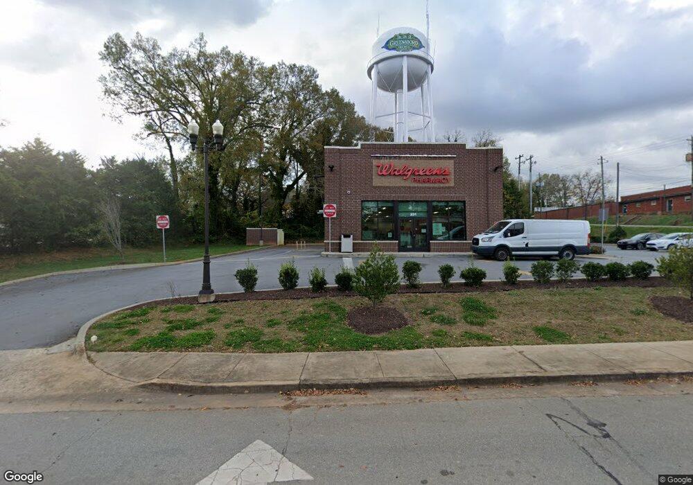
201 E Broad St Greensboro, GA 30642
Estimated Value: $3,066,247
--
Bed
--
Bath
2,950
Sq Ft
$1,039/Sq Ft
Est. Value
About This Home
This home is located at 201 E Broad St, Greensboro, GA 30642 and is currently estimated at $3,066,247, approximately $1,039 per square foot. 201 E Broad St is a home located in Greene County with nearby schools including Greene County High School.
Ownership History
Date
Name
Owned For
Owner Type
Purchase Details
Closed on
Oct 19, 2021
Sold by
Wpg Broad Llc
Bought by
320 Orange Avenue Llc
Current Estimated Value
Purchase Details
Closed on
Aug 10, 2020
Sold by
Meade Food Management Inc
Bought by
Wpg Broad Llc
Home Financials for this Owner
Home Financials are based on the most recent Mortgage that was taken out on this home.
Original Mortgage
$1,220,000
Interest Rate
3%
Mortgage Type
Commercial
Purchase Details
Closed on
Aug 30, 2013
Sold by
Scott Elliot A
Bought by
Meade Food Management Inc
Home Financials for this Owner
Home Financials are based on the most recent Mortgage that was taken out on this home.
Original Mortgage
$85,159
Interest Rate
4.37%
Purchase Details
Closed on
Sep 22, 2008
Sold by
Folb Michael A
Bought by
Scott Elliot A Trust Etal
Purchase Details
Closed on
Aug 9, 2006
Sold by
20 Bees Llc
Bought by
Scott Elliot
Purchase Details
Closed on
Dec 28, 2005
Sold by
Ge Capital Franchise Finan
Bought by
Scott Elliot A
Purchase Details
Closed on
Jan 1, 1987
Sold by
Garner Food Systems
Bought by
Ffca/Iip 1985 Property Co
Purchase Details
Closed on
Jan 1, 1986
Sold by
Duncan John W
Bought by
Garner Food Systems
Purchase Details
Closed on
Jan 1, 1980
Sold by
Caldwell R R
Bought by
Duncan John W
Purchase Details
Closed on
Feb 1, 1973
Sold by
English Henry R
Bought by
Caldwell R R
Purchase Details
Closed on
Jan 1, 1973
Sold by
Ward T L
Bought by
Caldwell R R
Purchase Details
Closed on
Jan 1, 1957
Sold by
Williams Carey
Bought by
Ward T L
Purchase Details
Closed on
Jan 1, 1943
Bought by
Williams Carey
Create a Home Valuation Report for This Property
The Home Valuation Report is an in-depth analysis detailing your home's value as well as a comparison with similar homes in the area
Home Values in the Area
Average Home Value in this Area
Purchase History
| Date | Buyer | Sale Price | Title Company |
|---|---|---|---|
| 320 Orange Avenue Llc | $2,516,000 | -- | |
| Wpg Broad Llc | $250,000 | -- | |
| Meade Food Management Inc | $85,000 | -- | |
| Scott Elliot A Trust Etal | $65,300 | -- | |
| Scott Elliot | $80,166 | -- | |
| Scott Elliot A | $616,667 | -- | |
| Ffca/Iip 1985 Property Co | -- | -- | |
| Garner Food Systems | -- | -- | |
| Duncan John W | -- | -- | |
| Caldwell R R | -- | -- | |
| Caldwell R R | -- | -- | |
| English Henry R | -- | -- | |
| Ward T L | -- | -- | |
| Williams Carey | -- | -- |
Source: Public Records
Mortgage History
| Date | Status | Borrower | Loan Amount |
|---|---|---|---|
| Previous Owner | Wpg Broad Llc | $1,220,000 | |
| Previous Owner | Meade Food Management Inc | $85,159 |
Source: Public Records
Tax History Compared to Growth
Tax History
| Year | Tax Paid | Tax Assessment Tax Assessment Total Assessment is a certain percentage of the fair market value that is determined by local assessors to be the total taxable value of land and additions on the property. | Land | Improvement |
|---|---|---|---|---|
| 2024 | $3,280 | $160,880 | $14,640 | $146,240 |
| 2023 | $2,082 | $162,400 | $14,640 | $147,760 |
| 2022 | $2,663 | $156,520 | $14,640 | $141,880 |
| 2021 | $279 | $103,760 | $14,640 | $89,120 |
| 2020 | $1,478 | $72,840 | $34,000 | $38,840 |
| 2019 | $1,554 | $72,840 | $34,000 | $38,840 |
| 2018 | $1,555 | $72,840 | $34,000 | $38,840 |
| 2017 | $1,454 | $72,860 | $34,000 | $38,860 |
| 2016 | $1,521 | $76,289 | $34,000 | $42,289 |
| 2015 | $1,469 | $76,289 | $34,000 | $42,289 |
| 2014 | $672 | $78,589 | $34,000 | $44,589 |
Source: Public Records
Map
Nearby Homes
- 15 South St Unit Siloam Road
- 301 N East St
- 314 W South St
- 504 Martin Luther King Junior Dr
- 0 Canaan St
- 805 S West St
- 109 Reynolds Dr
- 1020 Horton Dr
- 105 Wilson St
- 0 Railroad St Unit 218854
- 0 Railroad St Unit 10578007
- 0 Railroad St Unit 531919
- 1060 Twin Pines Cir
- 0 Maple Cir
- 1531 E Broad St
- 1061 Grimes St
- 1141 Armour Cir
- 1311 Lighthouse Cir
- 1131 Planing Mill Rd
- 1141 Planing Mill Rd
- 211 E Broad St
- 1010 East St
- 217 E Broad St
- 171 E Bend View
- 202 E Broad St
- 106 S East St
- 208 E Broad St
- 215 E Broad St
- 204 E South St
- 214 E Broad St
- 202 S East St
- 32.48 ac Us Highway 278
- 65 ac Us Highway 278
- 102 N Walnut St
- 201 E South St
- 105 N East St
- 104 N Walnut St
- 115 E Broad St
- 278 Us-278
- 201 S East St